
| Distance / Altitude | Location | Report Date / Time | Live Weather | Wind | Gusts | Temp. | Visibility | Cloud |
|---|---|---|---|---|---|---|---|---|
| 1 km NNE / 30 m | Mayaguez (Puerto Rico) | 2026-06-02 01:29 local (2026/06/02 05:29 GMT) | dry | calm (2 km/h at 140) | 24°C | - | - - 0 | |
| 2 km ESE / 25 m | Mayaguez (Puerto Rico) | 2026-06-02 02:20 local (2026/06/02 06:20 GMT) | dry | calm (3 km/h at 116) | 23°C | - | - - 0 | |
| 14 km N / 135 m | Aguada (Puerto Rico) | 2026-06-02 01:45 local (2026/06/02 05:45 GMT) | dry | calm (0 km/h at 120) | 23°C | - | - - 0 | |
| 16 km NW / 167 m | Aguada (Puerto Rico) | 2026-06-02 02:17 local (2026/06/02 06:17 GMT) | dry | calm (0 km/h at 205) | 24°C | - | - - 0 | |
| 17 km WNW / 6 m | Rincón Zona Urbana wx (Puerto Rico) | 2026-06-02 01:51 local (2026/06/02 05:51 GMT) | dry | calm (0 km/h at 125) | 26°C | - | - - 0 | |
| 18 km N / 80 m | Aguada (Puerto Rico) | 2026-06-02 02:16 local (2026/06/02 06:16 GMT) | dry | calm (0 km/h at 324) | 24°C | - | - - 0 | |
| 19 km NW / 4 m | Rincon (Puerto Rico) | 2026-06-02 01:33 local (2026/06/02 05:33 GMT) | dry | calm (0 km/h at 93) | 25°C | - | - - 0 | |
| 20 km SE / 47 m | San German (Puerto Rico) | 2026-06-02 01:52 local (2026/06/02 05:52 GMT) | dry | calm (3 km/h at 360) | 27°C | - | - - 0 | |
| 20 km NNE / 93 m | Comunidad Ramos wx (Puerto Rico) | 2026-06-02 01:32 local (2026/06/02 05:32 GMT) | dry | calm (0 km/h at 180) | 24°C | - | - - 0 | |
| 22 km WNW / 3 m | Rincon Buoy - Puerto Rico (Marine) | 2026-06-02 01:56 local (2026/06/02 05:56 GMT) | - (- km/h at -) | — | - |
| Contours: | Roads & Rivers: | Select a
tide station / surf break / city |
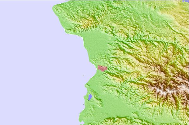
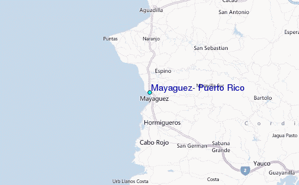
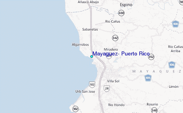
Use this relief map to navigate to tide stations, surf breaks and cities that are in the area of Mayaguez, Puerto Rico.
Other Nearby Locations' tide tables and tide charts to Mayaguez, Puerto Rico:
click location name for more details
 Surf breaks close to Mayaguez, Puerto Rico:
|
||
|---|---|---|
| Closest surf break | Sea Beach (Rincon) | 10 mi |
| Second closest surf break | Dogmans (Rincon) | 11 mi |
| Third closest surf break | Little Malibu (Rincon) | 11 mi |
| Fourth closest surf break | Tres Palmas (Rincon) | 11 mi |
| Fifth closest surf break | BC's | 12 mi |


 Nearest
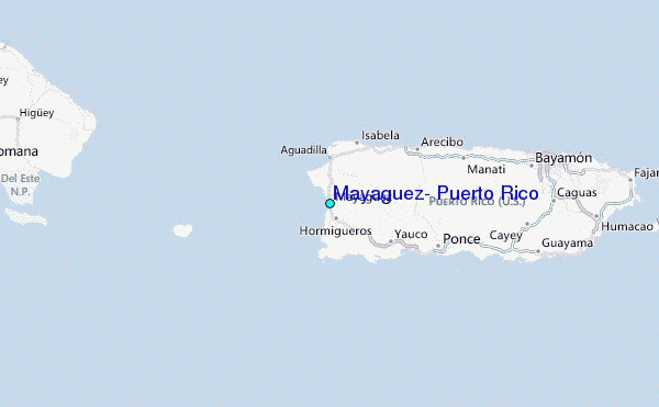