
| Distance / Altitude | Location | Report Date / Time | Live Weather | Wind | Gusts | Temp. | Visibility | Cloud |
|---|---|---|---|---|---|---|---|---|
| 4 km NNE / 13 m | Mazatlan (Mexico) | 2026-06-23 15:11 local (2026/06/23 22:11 GMT) | dry | wind obs. (13 kph from 215 degs) was rejected (- km/h at -) | 33°C | - | - - 0 | |
| 16 km ESE / 386 m | Mazatlán/General Rafael Buelna Airport (Mexico) | 2026-06-23 14:41 local (2026/06/23 21:41 GMT) | - | light winds from the W (15 km/h at 280) | 34°C | 24 | few | |
| 80 km NE / 1753 m | lightning 45km SE of Tayoltita (Mexico) | 2026-06-23 15:31 local (2026/06/23 22:31 GMT) | Thunderstorm | (- km/h at -) | — | |||
| 82 km NE / 2533 m | lightning 50km NNE of Concordia (Mexico) | 2026-06-23 15:18 local (2026/06/23 22:18 GMT) | Thunderstorm | (- km/h at -) | — | |||
| 141 km E / 1748 m | lightning 58km N of Acaponeta (Mexico) | 2026-06-23 15:02 local (2026/06/23 22:02 GMT) | Thunderstorm | (- km/h at -) | — | |||
| 182 km E / 2030 m | lightning 82km E of El Salto (Mexico) | 2026-06-23 15:17 local (2026/06/23 22:17 GMT) | Thunderstorm | (- km/h at -) | — | |||
| 192 km ESE / 996 m | lightning 78km W of Huejuquilla el Alto (Mexico) | 2026-06-23 15:02 local (2026/06/23 22:02 GMT) | Thunderstorm | (- km/h at -) | — | |||
| 194 km ENE / 2000 m | Durango (Mexico) | 2026-06-23 14:40 local (2026/06/23 21:40 GMT) | dry | calm (0 km/h at ) | 29°C | - | - - 0 | |
| 203 km E / 1771 m | lightning 65km WSW of Chalchihuites (Mexico) | 2026-06-23 15:02 local (2026/06/23 22:02 GMT) | Thunderstorm | (- km/h at -) | — | |||
| 205 km NW / 133 m | Culiacan (city) Airport (Mexico) | 2026-06-23 14:45 local (2026/06/23 21:45 GMT) | - | moderate winds from the W (24 km/h at 260) | 37°C | 16 | few |
| Contours: | Roads & Rivers: | Select a
tide station / surf break / city |
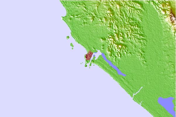
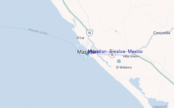
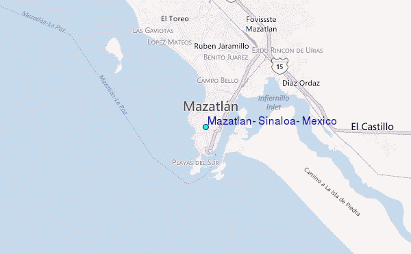
Use this relief map to navigate to tide stations, surf breaks and cities that are in the area of Mazatlan, Sinaloa, Mexico.
Other Nearby Locations' tide tables and tide charts to Mazatlan, Sinaloa, Mexico:
click location name for more details
 Surf breaks close to Mazatlan, Sinaloa, Mexico:
|
||
|---|---|---|
| Closest surf break | Ollas Altas | 1 mi |
| Second closest surf break | Stone Islands Escollera | 1 mi |
| Third closest surf break | Stone Islands Peaks | 2 mi |
| Fourth closest surf break | El Bajo | 5 mi |
| Fifth closest surf break | El Quijote | 5 mi |


 Nearest
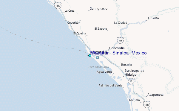