
| Distance / Altitude | Location | Report Date / Time | Live Weather | Wind | Gusts | Temp. | Visibility | Cloud |
|---|---|---|---|---|---|---|---|---|
| 23 km S / 10 m | St. Lawrence (Australia) | 2026-01-08 17:00 local (2026/01/08 07:00 GMT) | no report | moderate winds from the NE (22 km/h at 50) | 30°C | - | - no observation - | |
| 67 km NW / 123 m | Mount Christian wx (Australia) | 2026-01-08 17:00 local (2026/01/08 07:00 GMT) | dry | calm (0 km/h at 82) | 27°C | - | - - 0 | |
| 69 km ESE / 28 m | Williamson (Australia) | 2026-01-08 17:00 local (2026/01/08 07:00 GMT) | - | - (- km/h at -) | — | - | - | |
| 88 km NE / 209 m | MiddlePercyIsland (Australia) | 2026-01-08 17:00 local (2026/01/08 07:00 GMT) | no report | light winds from the ENE (7 km/h at 60) | 19°C | - | - no observation - | |
| 91 km WNW / 308 m | Shinfield wx (Australia) | 2026-01-08 16:30 local (2026/01/08 06:30 GMT) | dry | calm (3 km/h at 315) | 27°C | - | - - 0 | |
| 117 km NW / 5 m | MackayAero (Australia) | 2026-01-08 17:00 local (2026/01/08 07:00 GMT) | no report | strong winds from the SE (41 km/h at 130) | 16°C | 26 km | - no observation - | |
| 118 km NW / 54 m | Eton wx (Australia) | 2026-01-08 16:38 local (2026/01/08 06:38 GMT) | dry | fresh winds from the ESE (31 km/h at 111) | 27°C | - | - - 0 | |
| 118 km NW / 6 m | Ooralea Racecourse (Mackay Turf Club) (Australia) | 2026-01-08 17:00 local (2026/01/08 07:00 GMT) | no report | wind obs. (28 kph from 50 degs) was rejected (- km/h at -) | 29°C | - | - no observation - | |
| 120 km ENE / 15 m | SHIP8977 (Marine) | 2026-01-08 16:00 local (2026/01/08 06:00 GMT) | - (- km/h at -) | — | - km | |||
| 120 km ENE / 15 m | SHIP3908 (Marine) | 2026-01-08 16:00 local (2026/01/08 06:00 GMT) | - (- km/h at -) | — | - km |
| Contours: | Roads & Rivers: | Select a
tide station / surf break / city |
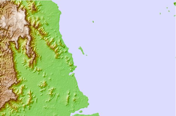
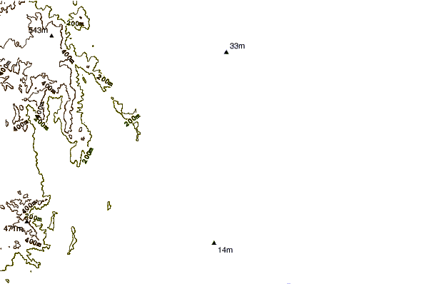
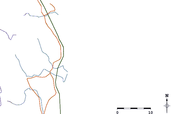
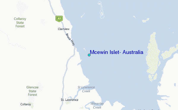
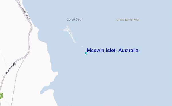
Use this relief map to navigate to tide stations, surf breaks and cities that are in the area of Mcewin Islet, Australia.
Other Nearby Locations' tide tables and tide charts to Mcewin Islet, Australia:
click location name for more details
 Surf breaks close to Mcewin Islet, Australia:
|
||
|---|---|---|
| Closest surf break | South Wall Mackay Harbour | 75 mi |
| Second closest surf break | North Wall Mackay Harbour Beach | 76 mi |
| Third closest surf break | Lamberts Beach | 78 mi |
| Fourth closest surf break | Dolphin Heads | 81 mi |
| Fifth closest surf break | Eimeo Point | 82 mi |


 Nearest
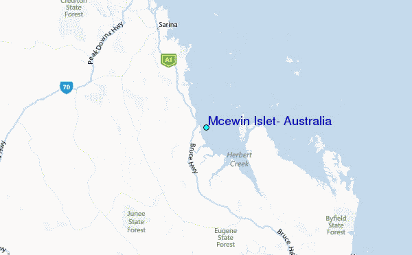