
| Distance / Altitude | Location | Report Date / Time | Live Weather | Wind | Gusts | Temp. | Visibility | Cloud |
|---|---|---|---|---|---|---|---|---|
| 9 km N / 129 m | Malacca (Malaysia) | 2026-02-11 08:00 local (2026/02/11 00:00 GMT) | haze | light winds from the NE.(Wind varies from 330 to 080 degs) (11 km/h at 40) | 24°C | 10.0 | few - - | |
| 85 km WNW / 17 m | Kuala Lumpur International Airport (Klia) (Malaysia) | 2026-02-11 09:00 local (2026/02/11 01:00 GMT) | haze | light winds from the W (6 km/h at 260) | 32°C | 10 | - | |
| 121 km SE / 15 m | SHIP8039 (Marine) | 2026-02-11 08:00 local (2026/02/11 00:00 GMT) | fresh winds from the NNW (32.4 km/h at 340) | — | - km | |||
| 130 km WNW / 22 m | Sultan Abdul Aziz Shah Airport (Malaysia) | 2026-02-11 08:00 local (2026/02/11 00:00 GMT) | - | wind obs. (13 kph from 260 degs) was rejected (- km/h at -) | — | 12 | - mostly cloudy - | |
| 131 km WNW / 218 m | Kuala Lumpur/sub Airport (Malaysia) | 2026-02-11 08:30 local (2026/02/11 00:30 GMT) | - | wind obs. (13 kph from 40 degs) was rejected (- km/h at -) | 27°C | 10.0 | few | |
| 129 km WNW / 22 m | Sultan Abdul Aziz Shah Airport (Malaysia) | 2026-02-11 08:00 local (2026/02/11 00:00 GMT) | - | wind obs. (13 kph from 260 degs) was rejected (- km/h at -) | — | 12 | - mostly cloudy - | |
| 130 km WNW / 218 m | Kuala Lumpur/sub Airport (Malaysia) | 2026-02-11 08:30 local (2026/02/11 00:30 GMT) | - | wind obs. (13 kph from 40 degs) was rejected (- km/h at -) | 27°C | 10.0 | few | |
| 131 km WNW / 217 m | Kuala Lumpur Sultan Abdul Aziz Shah Airport (Malaysia) | 2026-02-11 08:00 local (2026/02/11 00:00 GMT) | - | calm (0 km/h at 0) | 25°C | 10.0 | few | |
| 141 km N / 28 m | Temerluh wx (Malaysia) | 2026-02-11 09:10 local (2026/02/11 01:10 GMT) | dry | calm (0 km/h at 336) | 25°C | - | - - 0 | |
| 169 km ESE / 40 m | JohoreBharuSenai (Malaysia) | 2026-02-11 08:00 local (2026/02/11 00:00 GMT) | distant precipitation but not falling at station | wind obs. (7 kph from 300 degs) was rejected (- km/h at -) | 31°C | 10 | - mostly cloudy - |
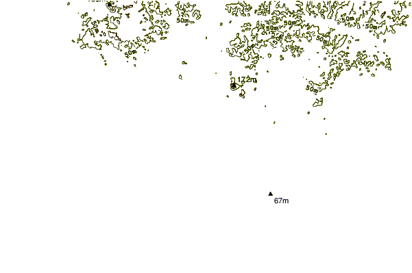
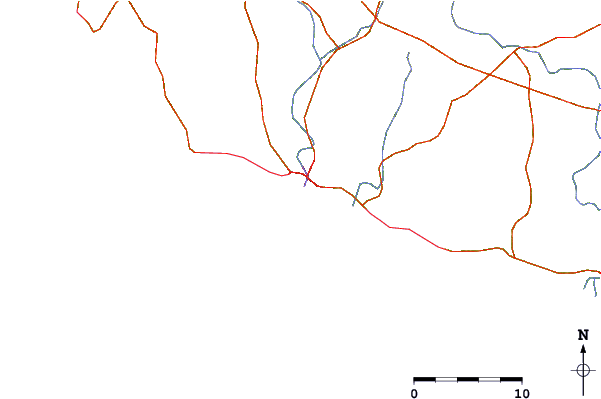
| Contours: | Roads & Rivers: | Select a
tide station / surf break / city |
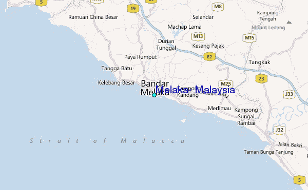
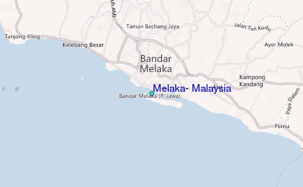
Use this relief map to navigate to tide stations, surf breaks and cities that are in the area of Melaka, Malaysia.
Other Nearby Locations' tide tables and tide charts to Melaka, Malaysia:
click location name for more details
 Surf breaks close to Melaka, Malaysia:
|
||
|---|---|---|
| Closest surf break | Tioman Island | 142 mi |
| Second closest surf break | Cherating | 156 mi |
| Third closest surf break | Kijal | 171 mi |
| Fourth closest surf break | Kelulut (Marang) | 217 mi |
| Fifth closest surf break | Batu Buruk | 226 mi |


 Nearest
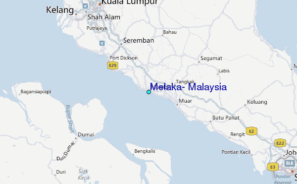