
| Distance / Altitude | Location | Report Date / Time | Live Weather | Wind | Gusts | Temp. | Visibility | Cloud |
|---|---|---|---|---|---|---|---|---|
| 304 km E / 232 m | Marambio Airport (Seymour Island) (Antarctica) | 2026-06-08 20:00 local (2026/06/08 23:00 GMT) | - | light winds from the WNW (19 km/h at 290) | — | 0.0 | ||
| 312 km NE / 48 m | CentroMet.Antártico Presidente Eduardo Frei (Antarctica) | 2026-06-08 21:00 local (2026/06/09 00:00 GMT) | no report | extremely windy from the W (115 km/h at 270) | -4°C | 1.5 km | - overcast - | |
| 313 km NE / 45 m | Teniente R. Marsh Airport (Chile) | 2026-06-08 20:00 local (2026/06/08 23:00 GMT) | Fog - | moderate winds from the NW (28 km/h at 310) | — | 0.2 | ||
| 320 km NE / 52 m | Dinamet (Antarctica (ay)) | 2026-06-08 21:00 local (2026/06/09 00:00 GMT) | no report | moderate winds from the WNW (22 km/h at 300) | -3°C | - | - | |
| 1079 km NW / 14 m | Guardiamarina Airport (Chile) | 2026-06-08 21:00 local (2026/06/09 00:00 GMT) | no report | wind obs. (43 kph from 260 degs) was rejected (- km/h at -) | -1°C | - | - | |
| 1079 km NW / 14 m | Puerto Williams (Chile) | 2026-06-08 20:00 local (2026/06/08 23:00 GMT) | no report | calm (4 km/h at 1) | 7°C | 10.0 | - - - | |
| 1105 km NW / 204 m | Ushuaia Naval Base Airport (Argentina) | 2026-06-08 20:00 local (2026/06/08 23:00 GMT) | - | light winds from the NNE (7 km/h at 20) | 9°C | 10.0 | few | |
| 1206 km NW / 102 m | Rio Grande Airport (Argentina) | 2026-06-08 20:00 local (2026/06/08 23:00 GMT) | Dry and partly cloudy | light winds from the N (17 km/h at 10) | 7°C | 8.0 | scattered overcast overcast | |
| 1325 km NW / 61 m | Punta Arenas Unidad Aeropolicial (Chile) | 2026-06-08 21:00 local (2026/06/09 00:00 GMT) | - | wind obs. (40 kph from 260 degs) was rejected (- km/h at -) | — | - | - | |
| 1327 km NW / 8 m | Instituto de la Patagonia (Jorge Schytte) (Chile) | 2026-06-08 21:00 local (2026/06/09 00:00 GMT) | - | wind obs. (22 kph from 250 degs) was rejected (- km/h at -) | — | - | - |
| Contours: | Roads & Rivers: | Select a
tide station / surf break / city |
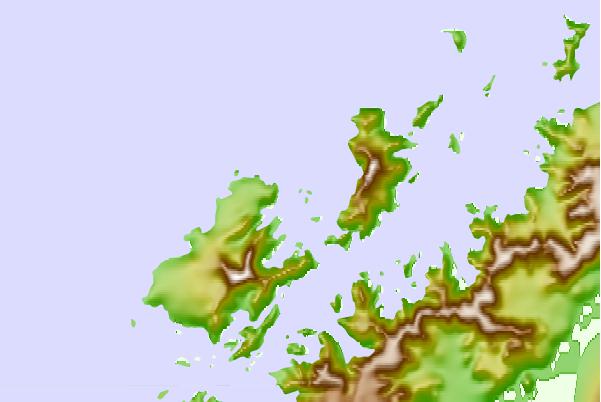
Use this relief map to navigate to tide stations, surf breaks and cities that are in the area of Melchior, Antarctica.
Other Nearby Locations' tide tables and tide charts to Melchior, Antarctica:
click location name for more details
 Surf breaks close to Melchior, Antarctica:
|
||
|---|---|---|
| Closest surf break | Río Grande | 748 mi |
| Second closest surf break | Bertha's Beach | 875 mi |
| Third closest surf break | Surf Bay | 894 mi |
| Fourth closest surf break | Elephant Beach | 908 mi |
| Fifth closest surf break | Cow Bay | 911 mi |


 Nearest