
| Distance / Altitude | Location | Report Date / Time | Live Weather | Wind | Gusts | Temp. | Visibility | Cloud |
|---|---|---|---|---|---|---|---|---|
| 10 km ENE / 374 m | Menado/Sam Ratulangi International Airport (Indonesia) | 2025-12-18 17:30 local (2025/12/18 09:30 GMT) | Dry and partly cloudy | calm (4 km/h at 1) | 26°C | 10.0 | scattered | |
| 11 km ENE / 80 m | MenadoSamRatulangi (Indonesia) | 2025-12-18 17:00 local (2025/12/18 09:00 GMT) | - | light winds from the NW (7 km/h at 320) | 28°C | 30 km | - scattered - | |
| 240 km SW / 2 m | GorontaloJalaluddin (Indonesia) | 2025-12-18 17:00 local (2025/12/18 09:00 GMT) | Intermittent light rain | calm (4 km/h at 130) | 27°C | 30 km | - overcast - | |
| 293 km ESE / 23 m | TernateBabullah (Indonesia) | 2025-12-18 17:00 local (2025/12/18 09:00 GMT) | - | light winds from the WNW (9 km/h at 290) | 29°C | 30 km | mostly cloudy | |
| 363 km SSW / 2 m | LuwukBubung (Indonesia) | 2025-12-18 17:00 local (2025/12/18 09:00 GMT) | - | wind obs. (9 kph from 190 degs) was rejected (- km/h at -) | 31°C | 30 km | - scattered - | |
| 379 km SE / 3 m | LabuhaOesmanSadik (Indonesia) | 2025-12-18 17:00 local (2025/12/18 09:00 GMT) | - | light winds from the SSW (7 km/h at 210) | 30°C | 29 km | - scattered - | |
| 400 km E / 524 m | lightning 61km ESE of Tobelo (Indonesia) | 2025-12-18 16:48 local (2025/12/18 08:48 GMT) | Thunderstorm | (- km/h at -) | — | |||
| 451 km WSW / 2 m | Toli-ToliLalos (Indonesia) | 2025-12-18 17:00 local (2025/12/18 09:00 GMT) | - | calm (4 km/h at 290) | 28°C | 32 km | mostly cloudy | |
| 511 km N / 15 m | General Santos International Airport (Paliparang Pandaigdig ng Heneral Santos) (Philippines) | 2025-12-18 17:00 local (2025/12/18 09:00 GMT) | no report | wind obs. (7 kph from 120 degs) was rejected (- km/h at -) | 27°C | 18 | - | |
| 511 km N / 15 m | General Santos City (Philippines) | 2025-12-18 17:00 local (2025/12/18 09:00 GMT) | no report | wind obs. (7 kph from 120 degs) was rejected (- km/h at -) | 27°C | 18 | - |
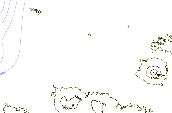
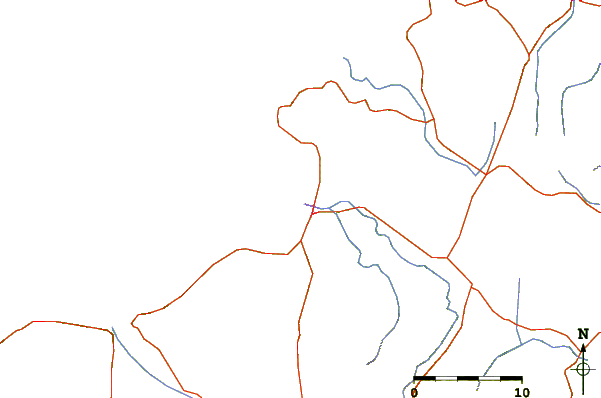
| Contours: | Roads & Rivers: | Select a
tide station / surf break / city |

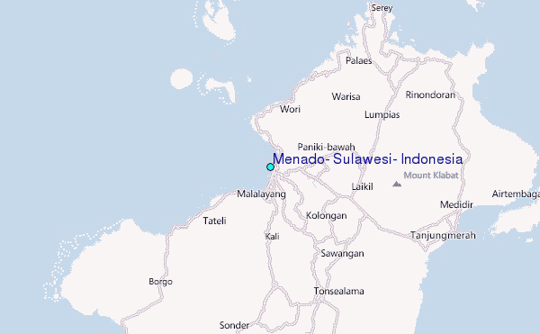
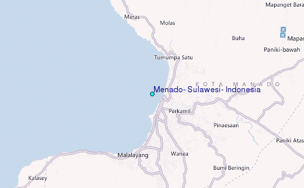
Use this relief map to navigate to tide stations, surf breaks and cities that are in the area of Menado, Sulawesi, Indonesia.
Other Nearby Locations' tide tables and tide charts to Menado, Sulawesi, Indonesia:
click location name for more details
 Surf breaks close to Menado, Sulawesi, Indonesia:
|
||
|---|---|---|
| Closest surf break | Tago River | 528 mi |
| Second closest surf break | Marami Beach | 533 mi |
| Third closest surf break | Lanuza Rivermouth | 541 mi |
| Fourth closest surf break | Big Star | 543 mi |
| Fifth closest surf break | Moshi-Moshi | 544 mi |


 Nearest
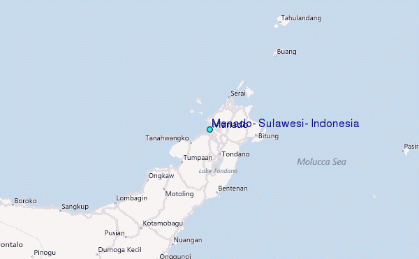