
| Distance / Altitude | Location | Report Date / Time | Live Weather | Wind | Gusts | Temp. | Visibility | Cloud |
|---|---|---|---|---|---|---|---|---|
| 7 km W / 218 m | Millville Airport (New Jersey) | 2024-07-26 18:54 local (2024/07/26 22:54 GMT) | Clear | light winds from the WNW (9 km/h at 290) | 27°C | 16 | ||
| 32 km WSW / 3 m | BUOY-SJSN4 (Marine) | 2024-07-26 20:00 local (2024/07/27 00:00 GMT) | light winds from the W (13 km/h at 270) | 27°C | - | |||
| 37 km SSE / 396 m | Wildwood Airport (New Jersey) | 2024-07-26 18:56 local (2024/07/26 22:56 GMT) | Clear | light winds from the SSW (9 km/h at 200) | 24°C | 16 | ||
| 39 km ENE / 217 m | Atlantic City Airport (New Jersey) | 2024-07-26 18:54 local (2024/07/26 22:54 GMT) | Clear | light winds from the SE (13 km/h at 140) | 24°C | 16 | ||
| 40 km S / 3 m | BUOY-BRND1 (Marine) | 2024-07-26 20:00 local (2024/07/27 00:00 GMT) | light winds from the SSW (15 km/h at 210) | 24°C | - | |||
| 42 km S / 3 m | BUOY-CMAN4 (Marine) | 2024-07-26 20:00 local (2024/07/27 00:00 GMT) | light winds from the SE (9 km/h at 140) | 22°C | - | |||
| 47 km SW / 218 m | Dover Air Force Base Airport (Delaware) | 2024-07-26 18:55 local (2024/07/26 22:55 GMT) | Clear | calm (0 km/h at 0) | 26°C | 16 | ||
| 51 km N / 15 m | SHIP3495 (Marine) | 2024-07-26 20:00 local (2024/07/27 00:00 GMT) | - (- km/h at -) | — | - km | |||
| 51 km N / 15 m | SHIP6409 (Marine) | 2024-07-26 18:00 local (2024/07/26 22:00 GMT) | - (- km/h at -) | — | - km | |||
| 51 km N / 3 m | SHIP6163 (Marine) | 2024-07-26 18:00 local (2024/07/26 22:00 GMT) | - (- km/h at -) | 32°C | - |
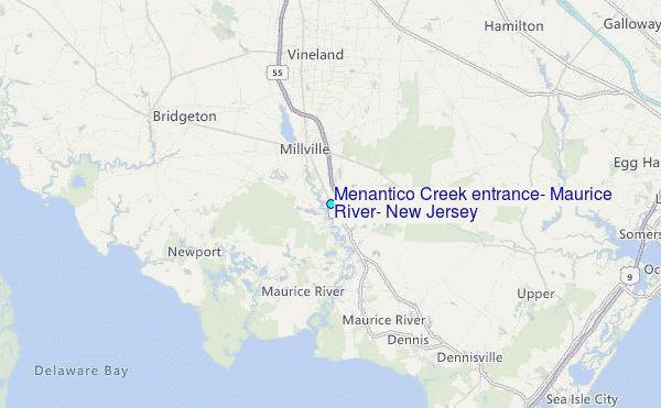
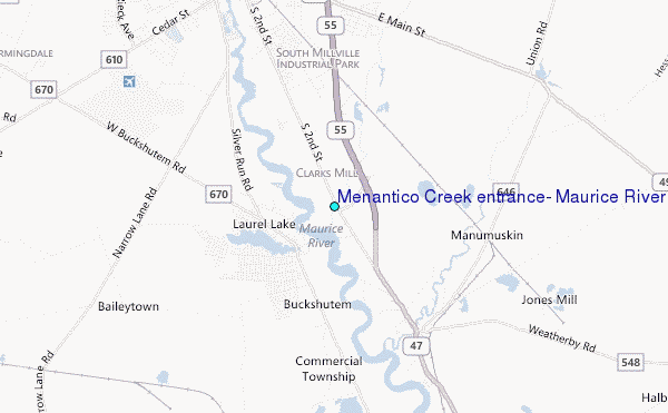
Choose Menantico Creek entrance, Maurice River, New Jersey Location Map Zoom:
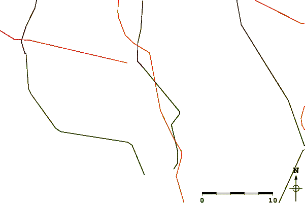
| Contours: | Roads & Rivers: | Select a
tide station / surf break / city |
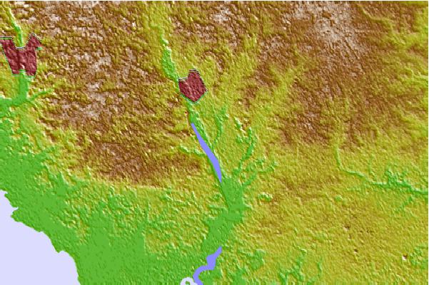

Use this relief map to navigate to tide stations, surf breaks and cities that are in the area of Menantico Creek entrance, Maurice River, New Jersey.
Other Nearby Locations' tide tables and tide charts to Menantico Creek entrance, Maurice River, New Jersey:
click location name for more details
 Surf breaks close to Menantico Creek entrance, Maurice River, New Jersey:
|
||
|---|---|---|
| Closest surf break | Chodes | 21 mi |
| Second closest surf break | Strathmere 7th Street | 21 mi |
| Third closest surf break | Sumner Avenue (Strathmere) | 21 mi |
| Fourth closest surf break | 37th Street Jetty | 21 mi |
| Fifth closest surf break | 57th Street | 22 mi |

 Nearest
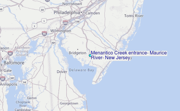