
| Distance / Altitude | Location | Report Date / Time | Live Weather | Wind | Gusts | Temp. | Visibility | Cloud |
|---|---|---|---|---|---|---|---|---|
| 9 km E / 3 m | MeraukeMopah (Indonesia) | 2025-12-25 15:00 local (2025/12/25 06:00 GMT) | State of sky unchanged | light winds from the WNW (15 km/h at 300) | 29°C | 29 km | - mostly cloudy - | |
| 271 km N / 125 m | Tanah Merah (Indonesia (maluku And Irian Jaya)) | 2025-12-25 15:00 local (2025/12/25 06:00 GMT) | State of sky unchanged | wind obs. (6 kph from 280 degs) was rejected (- km/h at -) | 30°C | 30 km | - mostly cloudy - | |
| 313 km SE / 5 m | Horn Island Automatic Weather Station (Australia) | 2025-12-25 16:00 local (2025/12/25 07:00 GMT) | no report | wind obs. (7 kph from 280 degs) was rejected (- km/h at -) | 29°C | - | - no observation - | |
| 314 km SE / 13 m | Horn Island Airport (Australia) | 2025-12-25 15:30 local (2025/12/25 06:30 GMT) | Dry and partly cloudy | wind obs. (9 kph from 280 degs) was rejected (- km/h at -) | 29°C | 10.0 | no cloud | |
| 344 km ESE / 4 m | Coconut Island (Australia) | 2025-12-25 15:00 local (2025/12/25 06:00 GMT) | no report | - (- km/h at -) | 26°C | - | - | |
| 410 km SSE / 15 m | SHIP6610 (Marine) | 2025-12-25 14:00 local (2025/12/25 05:00 GMT) | - (- km/h at -) | 31°C | - km | |||
| 410 km SSE / 15 m | SHIP3229 (Marine) | 2025-12-25 14:00 local (2025/12/25 05:00 GMT) | - (- km/h at -) | 31°C | - km | |||
| 410 km SSE / 15 m | SHIP7059 (Marine) | 2025-12-25 14:00 local (2025/12/25 05:00 GMT) | - (- km/h at -) | 31°C | - km | |||
| 410 km SSE / 15 m | SHIP5819 (Marine) | 2025-12-25 15:00 local (2025/12/25 06:00 GMT) | - (- km/h at -) | — | - km | |||
| 410 km SSE / 15 m | SHIP3281 (Marine) | 2025-12-25 14:00 local (2025/12/25 05:00 GMT) | - (- km/h at -) | 31°C | - km |
| Contours: | Roads & Rivers: | Select a
tide station / surf break / city |
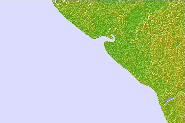

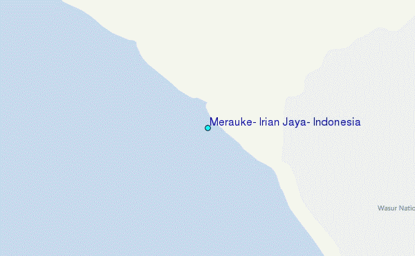
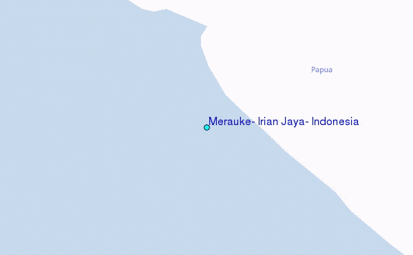
Use this relief map to navigate to tide stations, surf breaks and cities that are in the area of Merauke, Irian Jaya, Indonesia.
Other Nearby Locations' tide tables and tide charts to Merauke, Irian Jaya, Indonesia:
click location name for more details
 Surf breaks close to Merauke, Irian Jaya, Indonesia:
|
||
|---|---|---|
| Closest surf break | Aitape | 398 mi |
| Second closest surf break | Sissano Lagoon | 400 mi |
| Third closest surf break | Narimu and Buro Reefs | 409 mi |
| Fourth closest surf break | Logs | 410 mi |
| Fifth closest surf break | Jailbreak | 411 mi |


 Nearest
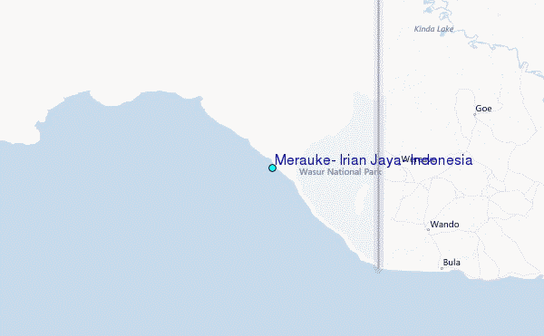