
| Distance / Altitude | Location | Report Date / Time | Live Weather | Wind | Gusts | Temp. | Visibility | Cloud |
|---|---|---|---|---|---|---|---|---|
| 152 km NE / 87 m | LhokseumaweMalikussaleh (Indonesia) | 2026-05-14 19:00 local (2026/05/14 12:00 GMT) | - | wind obs. (6 kph from 60 degs) was rejected (- km/h at -) | 29°C | 28 km | mostly cloudy | |
| 173 km NW / 21 m | BandaAcehBlangBintang (Indonesia) | 2026-05-14 19:00 local (2026/05/14 12:00 GMT) | Light rain | light winds from the ESE (19 km/h at 120) | 27°C | 8.0 | broken mostly cloudy - | |
| 191 km NW / 15 m | SHIP4661 (Marine) | 2026-05-14 19:00 local (2026/05/14 12:00 GMT) | - (- km/h at -) | — | - km | |||
| 289 km ESE / 215 m | Medan/Polonia Airport (Indonesia) | 2026-05-14 19:30 local (2026/05/14 12:30 GMT) | Dry and partly cloudy | wind obs. (9 kph from 230 degs) was rejected (- km/h at -) | 29°C | 10.0 | few scattered | |
| 310 km E / 25 m | KualanamuMedan (Indonesia) | 2026-05-14 19:00 local (2026/05/14 12:00 GMT) | - | calm (0 km/h at 0) | 29°C | 30 km | - mostly cloudy - | |
| 236 km NW / 15 m | SHIP3431 (Marine) | 2026-05-14 19:00 local (2026/05/14 12:00 GMT) | moderate winds from the SW (27.720000000000002 km/h at 230) | — | - km | |||
| 236 km NW / 15 m | SHIP7534 (Marine) | 2026-05-14 19:00 local (2026/05/14 12:00 GMT) | moderate winds from the SW (27.720000000000002 km/h at 230) | — | - km | |||
| 236 km NW / 15 m | SHIP8869 (Marine) | 2026-05-14 19:00 local (2026/05/14 12:00 GMT) | moderate winds from the SW (27.720000000000002 km/h at 230) | — | - km | |||
| 244 km WNW / 15 m | SHIP8766 (Marine) | 2026-05-14 19:00 local (2026/05/14 12:00 GMT) | - (- km/h at -) | — | - km | |||
| 244 km WNW / 15 m | SHIP9004 (Marine) | 2026-05-14 19:00 local (2026/05/14 12:00 GMT) | - (- km/h at -) | — | - km |
| Contours: | Roads & Rivers: | Select a
tide station / surf break / city |
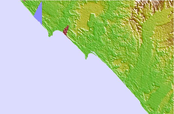
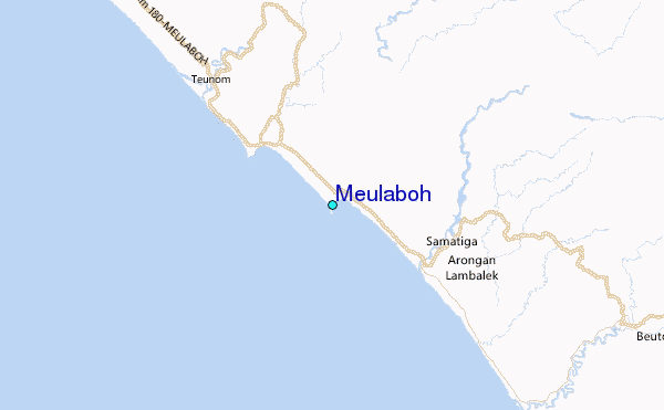
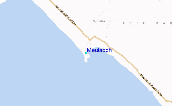
Use this relief map to navigate to tide stations, surf breaks and cities that are in the area of Meulaboh.
Other Nearby Locations' tide tables and tide charts to Meulaboh:
click location name for more details
 Surf breaks close to Meulaboh:
|
||
|---|---|---|
| Closest surf break | Jackals | 117 mi |
| Second closest surf break | Thailand | 123 mi |
| Third closest surf break | Teabags | 124 mi |
| Fourth closest surf break | Teupah | 124 mi |
| Fifth closest surf break | Turtle Island | 160 mi |


 Nearest
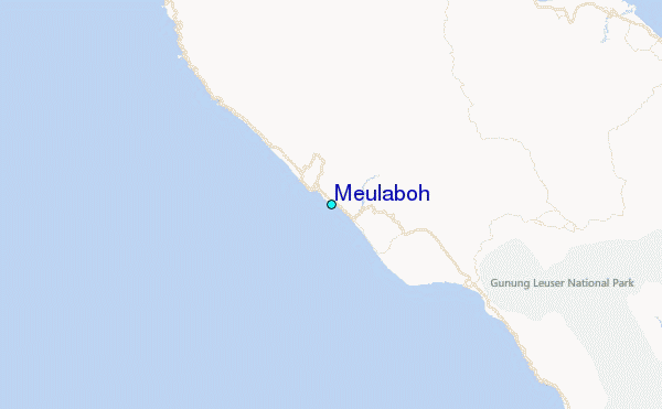