
| Distance / Altitude | Location | Report Date / Time | Live Weather | Wind | Gusts | Temp. | Visibility | Cloud |
|---|---|---|---|---|---|---|---|---|
| 3 km S / 3 m | BUOY-MDXA2 (Marine) | 2025-12-24 23:32 local (2025/12/25 08:32 GMT) | fresh winds from the NW (37 km/h at 310) | 2°C | - | |||
| 4 km S / 216 m | Middleton Island Airport (Alaska) | 2025-12-24 22:21 local (2025/12/25 07:21 GMT) | - | light winds from the NW (17 km/h at 320) | -1°C | 0.0 | ||
| 36 km NW / 15 m | ASCATB213E60N (Marine) | 2025-12-24 21:20 local (2025/12/25 06:20 GMT) | light winds from the NW (15 km/h at 315) | — | - km | |||
| 40 km E / 15 m | ASCATB214E59N (Marine) | 2025-12-24 21:20 local (2025/12/25 06:20 GMT) | light winds from the N (15 km/h at 4) | — | - km | |||
| 51 km WSW / 15 m | ASCATB213E59N (Marine) | 2025-12-24 21:20 local (2025/12/25 06:20 GMT) | moderate winds from the NW (21 km/h at 309) | — | - km | |||
| 64 km N / 15 m | ASCATB214E60N (Marine) | 2025-12-24 21:20 local (2025/12/25 06:20 GMT) | moderate winds from the NW (20 km/h at 310) | — | - km | |||
| 71 km NE / 15 m | ASCATB215E60N (Marine) | 2025-12-24 21:20 local (2025/12/25 06:20 GMT) | moderate winds from the N (22 km/h at 1) | — | - km | |||
| 78 km WSW / 15 m | ASCATB212E60N (Marine) | 2025-12-24 21:20 local (2025/12/25 06:20 GMT) | moderate winds from the NW (22 km/h at 311) | — | - km | |||
| 86 km NW / - m | SHIP132 (ocean) | 2025-12-24 22:00 local (2025/12/25 07:00 GMT) | - | moderate winds from the NW (25 km/h at 310) | — | - | no observation | |
| 86 km NW / - m | SHIP857 (ocean) | 2025-12-24 21:00 local (2025/12/25 06:00 GMT) | - | fresh winds from the NW (29 km/h at 320) | — | - | no observation |
Choose Middleton Island (north end), Alaska Location Map Zoom:
Other Nearby Locations' tide tables and tide charts to Middleton Island (north end), Alaska:
click location name for more details
 Surf breaks close to Middleton Island (north end), Alaska:
|
||
|---|---|---|
| Closest surf break | Bird Point (Tidal Bore) | 195 mi |
| Second closest surf break | Ocean Cape | 226 mi |
| Third closest surf break | Graveyards | 228 mi |
| Fourth closest surf break | Cannon Beach | 230 mi |
| Fifth closest surf break | Mill Bay | 245 mi |


 Nearest
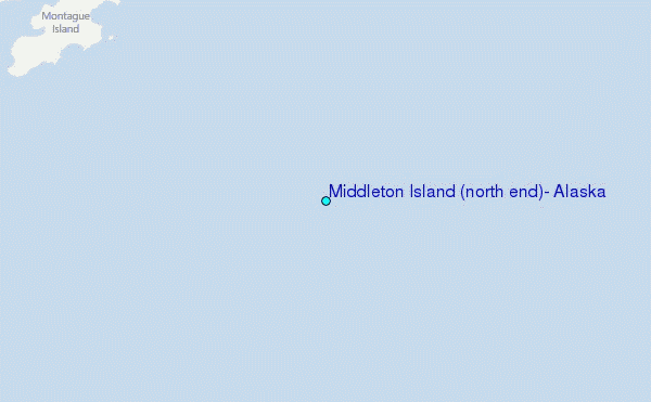