
| Distance / Altitude | Location | Report Date / Time | Live Weather | Wind | Gusts | Temp. | Visibility | Cloud |
|---|---|---|---|---|---|---|---|---|
| 1 km NNE / 219 m | Midway Island Henderson Field Airport (Hawaii) | 2025-12-24 00:34 local (2025/12/24 10:34 GMT) | Dry and partly cloudy | moderate winds from the SW (26 km/h at 220) | 22°C | 11 | broken broken | |
| 2 km NE / 3 m | BUOY-SNDP5 (Marine) | 2025-12-24 01:00 local (2025/12/24 11:00 GMT) | - (- km/h at -) | 21°C | - | |||
| 1137 km WNW / 3 m | SHIP8574 (Marine) | 2025-12-24 01:00 local (2025/12/24 11:00 GMT) | - (- km/h at -) | — | - | |||
| 1503 km NW / 15 m | ASCATC176E40N (Marine) | 2025-12-23 22:58 local (2025/12/24 08:58 GMT) | moderate winds from the WNW (25 km/h at 300) | — | - km | |||
| 1542 km NW / 15 m | ASCATC175E40N (Marine) | 2025-12-23 22:58 local (2025/12/24 08:58 GMT) | moderate winds from the WNW (26 km/h at 299) | — | - km | |||
| 1156 km WNW / 3 m | SHIP6758 (Marine) | 2025-12-24 00:00 local (2025/12/24 10:00 GMT) | - (- km/h at -) | — | - | |||
| 1156 km WNW / 15 m | SHIP3590 (Marine) | 2025-12-24 00:00 local (2025/12/24 10:00 GMT) | - (- km/h at -) | — | - km | |||
| 1156 km WNW / 15 m | SHIP4106 (Marine) | 2025-12-24 00:00 local (2025/12/24 10:00 GMT) | - (- km/h at -) | — | - km | |||
| 1176 km WNW / 3 m | SHIP6146 (Marine) | 2025-12-23 23:00 local (2025/12/24 09:00 GMT) | - (- km/h at -) | — | - | |||
| 1176 km WNW / 15 m | SHIP4483 (Marine) | 2025-12-23 23:00 local (2025/12/24 09:00 GMT) | - (- km/h at -) | — | - km |
| Contours: | Roads & Rivers: | Select a
tide station / surf break / city |
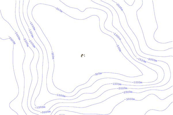

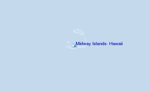
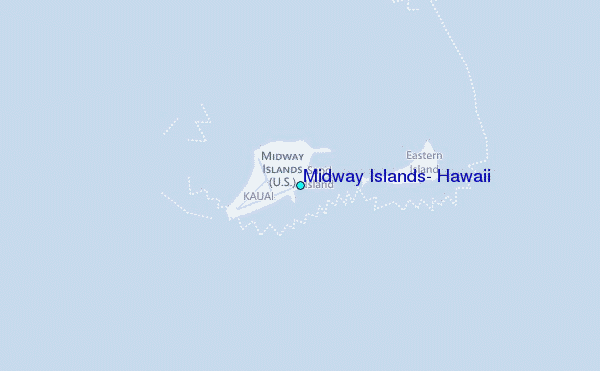
Use this relief map to navigate to tide stations, surf breaks and cities that are in the area of Midway Islands, Hawaii.
Other Nearby Locations' tide tables and tide charts to Midway Islands, Hawaii:
click location name for more details
 Surf breaks close to Midway Islands, Hawaii:
|
||
|---|---|---|
| Closest surf break | Majors Bay | 1179 mi |
| Second closest surf break | Polihale | 1179 mi |
| Third closest surf break | Davidson Point | 1185 mi |
| Fourth closest surf break | Cannons | 1186 mi |
| Fifth closest surf break | Tunnels | 1186 mi |


 Nearest