
| Distance / Altitude | Location | Report Date / Time | Live Weather | Wind | Gusts | Temp. | Visibility | Cloud |
|---|---|---|---|---|---|---|---|---|
| 24 km SSW / 3 m | BUOY-JCRN4 (Marine) | 2025-12-25 19:30 local (2025/12/26 00:30 GMT) | light winds from the W (13 km/h at 280) | 5°C | - | |||
| 29 km NNE / 4 m | Seaside Park- NJ (United States) | 2025-12-25 20:00 local (2025/12/26 01:00 GMT) | - | strong winds from the NW (50 km/h at 326) | 3°C | - | - - 0 | |
| 37 km SSW / 217 m | Atlantic City Airport (New Jersey) | 2025-12-25 19:54 local (2025/12/26 00:54 GMT) | Clear | strong winds from the NNW (39 km/h at 340) | 5°C | 16 | ||
| 38 km S / 3 m | BUOY-ACYN4 (Marine) | 2025-12-25 20:18 local (2025/12/26 01:18 GMT) | - (- km/h at -) | — | - | |||
| 41 km ENE / 3 m | Barnegat- NJ (Marine) | 2025-12-25 20:00 local (2025/12/26 01:00 GMT) | - (- km/h at -) | 5°C | - | |||
| 49 km WNW / 218 m | Wrightst/Mcguire Airport (New Jersey) | 2025-12-25 18:55 local (2025/12/25 23:55 GMT) | Clear | light winds from the NNW (17 km/h at 340) | 4°C | 16 | ||
| 57 km N / 219 m | Belmar/Farmdale Airport (New Jersey) | 2025-12-25 19:05 local (2025/12/26 00:05 GMT) | Clear | moderate winds from the NNW (28 km/h at 330) | 3°C | 16 | ||
| 59 km W / 218 m | Mount Holly Airport (New Jersey) | 2025-12-25 18:54 local (2025/12/25 23:54 GMT) | Clear | moderate winds from the N (20 km/h at 350) | 4°C | 16 | ||
| 69 km WSW / 47.5 m | Washington Township (New Jersey) | 2025-12-25 20:27 local (2025/12/26 01:27 GMT) | - | calm (0 km/h at 115) | -2°C | - | - - 0 | |
| 69 km WNW / 3 m | BUOY-NBLP1 (Marine) | 2025-12-25 20:18 local (2025/12/26 01:18 GMT) | light winds from the NNW (13 km/h at 330) | — | - |
Choose Mill Creek, 1 nautical miles above entrance, New Jersey Location Map Zoom:
| Contours: | Roads & Rivers: | Select a
tide station / surf break / city |
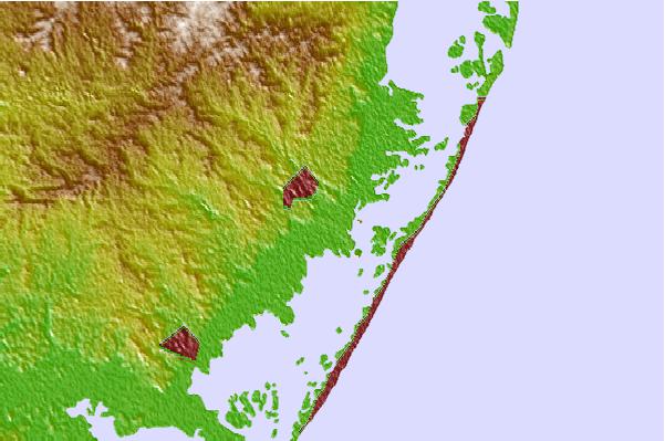
Use this relief map to navigate to tide stations, surf breaks and cities that are in the area of Mill Creek, 1 nautical miles above entrance, New Jersey.
Other Nearby Locations' tide tables and tide charts to Mill Creek, 1 nautical miles above entrance, New Jersey:
click location name for more details
 Surf breaks close to Mill Creek, 1 nautical miles above entrance, New Jersey:
|
||
|---|---|---|
| Closest surf break | 711 | 3 mi |
| Second closest surf break | 30th Street/Ship Bottom | 3 mi |
| Third closest surf break | LBI Long Beach Island | 4 mi |
| Fourth closest surf break | Lbi 82st | 4 mi |
| Fifth closest surf break | Cape May Avenue | 5 mi |


 Nearest