
| Distance / Altitude | Location | Report Date / Time | Live Weather | Wind | Gusts | Temp. | Visibility | Cloud |
|---|---|---|---|---|---|---|---|---|
| 71 km W / 144 m | Ali Alabama Salem Airport (Kuwait) | 2026-06-03 17:55 local (2026/06/03 14:55 GMT) | Clear | moderate winds from the WNW (20 km/h at 300) | 44°C | 10.0 | ||
| 107 km NNE / 2 m | AL-Fao (Iraq) | 2026-06-03 18:00 local (2026/06/03 15:00 GMT) | - | light winds from the S (7 km/h at 180) | 41°C | 30 km | clear | |
| 144 km N / 200 m | Abadan International Airport (Iran, Islamic Rep) | 2026-06-03 18:00 local (2026/06/03 15:00 GMT) | - | light winds from the WNW (15 km/h at 300) | — | 0.0 | ||
| 165 km NW / 2 m | Basrah-Hussen (Iraq) | 2026-06-03 18:00 local (2026/06/03 15:00 GMT) | - | moderate winds from the W (25 km/h at 280) | 44°C | 30 km | - clear - | |
| 173 km NW / 2 m | Basrah International Airport l (Iraq) | 2026-06-03 18:00 local (2026/06/03 15:00 GMT) | - | moderate winds from the W (24 km/h at 280) | — | 0.0 | ||
| 192 km NNE / 213 m | Bandar Mahshahr Airport (Iran, Islamic Rep) | 2026-06-03 18:00 local (2026/06/03 15:00 GMT) | - | light winds from the W (11 km/h at 270) | — | 0.0 | ||
| 215 km SW / 358 m | AL-Qaisumah (Saudi Arabia) | 2026-06-03 18:00 local (2026/06/03 15:00 GMT) | - | light winds from the NW (15 km/h at 320) | 42°C | 30 km | - clear - | |
| 217 km SW / 687 m | Hafr Al-batin AR Airport (Saudi Arabia) | 2026-06-03 18:00 local (2026/06/03 15:00 GMT) | - | light winds from the NW (15 km/h at 320) | — | 0.0 | ||
| 232 km SSE / 93 m | Buşayyirāt wx (Saudi Arabia) | 2026-06-03 19:11 local (2026/06/03 16:11 GMT) | - | wind obs. (6 kph from 0 degs) was rejected (- km/h at -) | — | - | - - 0 | |
| 238 km NE / 160 m | Agha Jari Airport (Iran, Islamic Rep) | 2026-06-03 18:00 local (2026/06/03 15:00 GMT) | - | moderate winds from the W (22 km/h at 280) | — | 0.0 |
| Contours: | Roads & Rivers: | Select a
tide station / surf break / city |
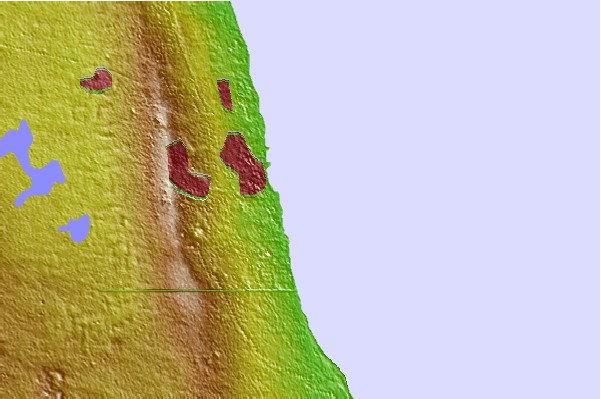
Use this relief map to navigate to tide stations, surf breaks and cities that are in the area of Mina Al Ahmadi, Kuwait.
Other Nearby Locations' tide tables and tide charts to Mina Al Ahmadi, Kuwait:
click location name for more details
 Surf breaks close to Mina Al Ahmadi, Kuwait:
|
||
|---|---|---|
| Closest surf break | Mangaf | 3 mi |
| Second closest surf break | Jebal Ali Lefts | 505 mi |
| Third closest surf break | Jumeirah Beach | 510 mi |
| Fourth closest surf break | Al Hamra - Ras Al Khema | 522 mi |
| Fifth closest surf break | Tim's Reef | 561 mi |


 Nearest