
| Distance / Altitude | Location | Report Date / Time | Live Weather | Wind | Gusts | Temp. | Visibility | Cloud |
|---|---|---|---|---|---|---|---|---|
| 110 km WNW / 144 m | Ali Alabama Salem Airport (Kuwait) | 2026-04-03 19:55 local (2026/04/03 16:55 GMT) | Clear | light winds from the SE (17 km/h at 130) | 24°C | 10.0 | ||
| 192 km S / 93 m | Buşayyirāt wx (Saudi Arabia) | 2026-04-03 20:42 local (2026/04/03 17:42 GMT) | dry | wind obs. (6 kph from 334 degs) was rejected (- km/h at -) | 30°C | - | - - 0 | |
| 215 km NW / 2 m | Basrah International Airport l (Iraq) | 2026-04-03 20:00 local (2026/04/03 17:00 GMT) | Dry and partly cloudy | light winds from the ESE (19 km/h at 120) | 24°C | 10.0 | few scattered broken | |
| 228 km WSW / 687 m | Hafr Al-batin AR Airport (Saudi Arabia) | 2026-04-03 20:00 local (2026/04/03 17:00 GMT) | Dry and partly cloudy | light winds from the SSE (7 km/h at 150) | 27°C | 10.0 | scattered | |
| 287 km SSE / 217 m | King Fahd International Airport (Saudi Arabia) | 2026-04-03 20:00 local (2026/04/03 17:00 GMT) | - | light winds from the E (9 km/h at 80) | — | 0.0 | ||
| 322 km SSE / 213 m | Dhahran International Airport (Saudi Arabia) | 2026-04-03 20:00 local (2026/04/03 17:00 GMT) | - | light winds from the NNE (11 km/h at 30) | — | 0.0 | ||
| 340 km SSE / 1 m | Zabnah Kite Lagoon (Saudi Arabia) | 2026-04-03 21:00 local (2026/04/03 18:00 GMT) | - | calm (4 km/h at 89) | 24°C | - | - - 0 | |
| 351 km SE / 216 m | Bahrain International Airport (Bahrain) | 2026-04-03 20:00 local (2026/04/03 17:00 GMT) | - | light winds from the NW (9 km/h at 310) | — | 0.0 | - - - | |
| 398 km SE / 5 m | Ar-Ruʼays Port (Al Ruwais) (Qatar) | 2026-04-03 19:00 local (2026/04/03 16:00 GMT) | - | light winds from the WNW (13 km/h at 300) | 22°C | 37 km | no observation | |
| 398 km SSE / 214 m | AL Ahsa Airport (Saudi Arabia) | 2026-04-03 20:00 local (2026/04/03 17:00 GMT) | - | light winds from the ENE (6 km/h at 60) | — | 0.0 |
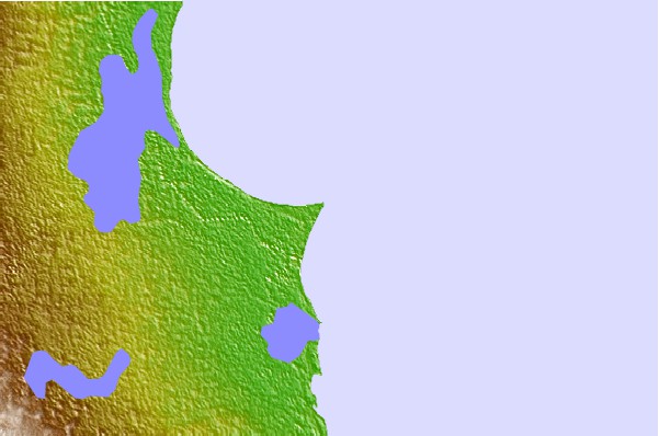
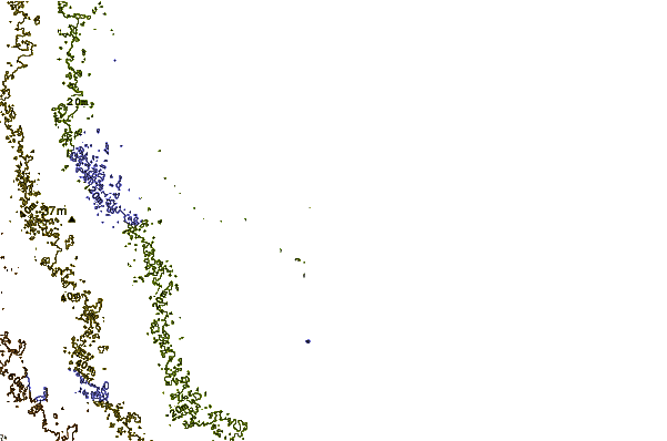
| Contours: | Roads & Rivers: | Select a
tide station / surf break / city |
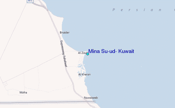
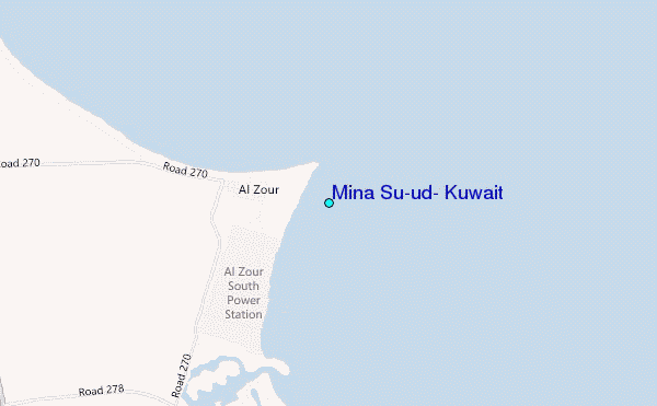
Use this relief map to navigate to tide stations, surf breaks and cities that are in the area of Mina Su`ud, Kuwait.
Other Nearby Locations' tide tables and tide charts to Mina Su`ud, Kuwait:
click location name for more details
 Surf breaks close to Mina Su`ud, Kuwait:
|
||
|---|---|---|
| Closest surf break | Mangaf | 30 mi |
| Second closest surf break | Jebal Ali Lefts | 482 mi |
| Third closest surf break | Jumeirah Beach | 487 mi |
| Fourth closest surf break | Al Hamra - Ras Al Khema | 500 mi |
| Fifth closest surf break | Tim's Reef | 539 mi |


 Nearest
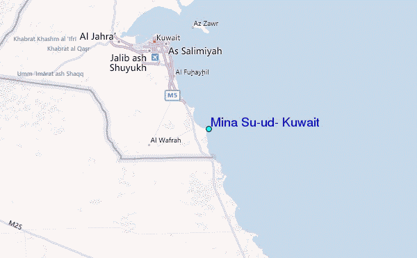