
| Distance / Altitude | Location | Report Date / Time | Live Weather | Wind | Gusts | Temp. | Visibility | Cloud |
|---|---|---|---|---|---|---|---|---|
| 3 km N / 3 m | Minehead Waverider (Marine) | 2026-05-03 05:01 local (2026/05/03 04:01 GMT) | - (- km/h at -) | — | - | |||
| 20 km E / 3 m | Hinkley Point 2 Waverider (Marine) | 2026-05-03 06:00 local (2026/05/03 05:00 GMT) | - (- km/h at -) | — | - | |||
| 22 km N / 49 m | St Athan (United Kingdom) | 2026-05-03 06:00 local (2026/05/03 05:00 GMT) | - | wind obs. (9 kph from 160 degs) was rejected (- km/h at -) | — | 35 | - - - | |
| 22 km NNE / 209 m | Cardiff-Wales Airport (United Kingdom) | 2026-05-03 05:20 local (2026/05/03 04:20 GMT) | Dry and partly cloudy | light winds from the WNW (6 km/h at 290) | 10°C | 10.0 | no cloud | |
| 29 km NNE / 80 m | Llantrithyd Park (United Kingdom) | 2026-05-03 06:00 local (2026/05/03 05:00 GMT) | - | calm (0 km/h at 325) | 10°C | - | - - 0 | |
| 36 km ENE / 3 m | Weston Bay Waverider (Marine) | 2026-05-03 05:24 local (2026/05/03 04:24 GMT) | - (- km/h at -) | — | - | |||
| 41 km WNW / 3 m | Scarweather WaveNet Site (Marine) | 2026-05-03 06:00 local (2026/05/03 05:00 GMT) | - (- km/h at -) | — | - | |||
| 46 km S / 43 m | 885 (United Kingdom) | 2026-05-03 06:00 local (2026/05/03 05:00 GMT) | - | calm (0 km/h at 278) | 10°C | - | - - 0 | |
| 51 km WSW / 112 m | Woolacombe NDHPC (United Kingdom) | 2026-05-03 06:00 local (2026/05/03 05:00 GMT) | - | light winds from the ESE (13 km/h at 114) | — | - | - - 0 | |
| 52 km S / 27 m | Exeter Airport NO 2 (United Kingdom) | 2026-05-03 06:00 local (2026/05/03 05:00 GMT) | - | wind obs. (7 kph from 30 degs) was rejected (- km/h at -) | — | 40 | - - - |
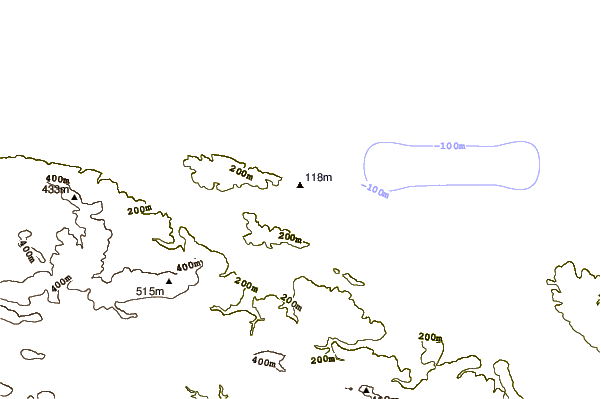
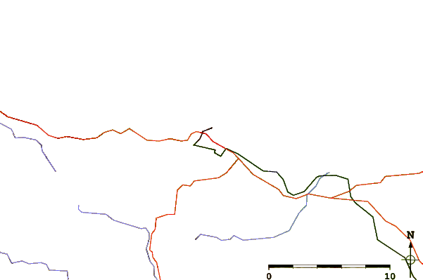
| Contours: | Roads & Rivers: | Select a
tide station / surf break / city |
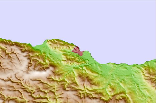
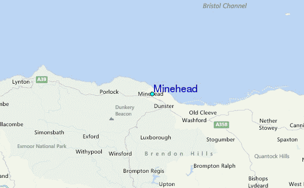
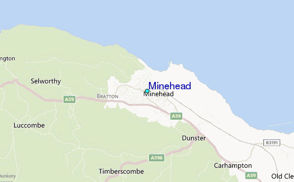
Use this relief map to navigate to tide stations, surf breaks and cities that are in the area of Minehead.
Other Nearby Locations' tide tables and tide charts to Minehead:
click location name for more details
 Surf breaks close to Minehead:
|
||
|---|---|---|
| Closest surf break | Porlock Weir | 6 mi |
| Second closest surf break | Gileston | 12 mi |
| Third closest surf break | Llantwit Major | 13 mi |
| Fourth closest surf break | Lynmouth | 14 mi |
| Fifth closest surf break | The Knap | 15 mi |


 Nearest