
| Distance / Altitude | Location | Report Date / Time | Live Weather | Wind | Gusts | Temp. | Visibility | Cloud |
|---|---|---|---|---|---|---|---|---|
| 114 km S / 8 m | Dumaguete (Philippines) | 2026-02-26 09:00 local (2026/02/26 01:00 GMT) | distant precipitation but not falling at station | wind obs. (11 kph from 110 degs) was rejected (- km/h at -) | 28°C | 10 | few broken - | |
| 114 km S / 8 m | Dumaguete–Sibulan Airport (Philippines) | 2026-02-26 08:00 local (2026/02/26 00:00 GMT) | distant precipitation but not falling at station | wind obs. (11 kph from 110 degs) was rejected (- km/h at -) | 28°C | 10 | scattered broken - | |
| 115 km E / 212 m | Maasin (Philippines) | 2026-02-26 08:00 local (2026/02/26 00:00 GMT) | distant precipitation but not falling at station | - (- km/h at -) | 29°C | 22 | - - - | |
| 186 km WNW / 2 m | Roxas (Philippines) | 2026-02-26 08:00 local (2026/02/26 00:00 GMT) | light rain showers | wind obs. (11 kph from 180 degs) was rejected (- km/h at -) | 28°C | 9 | - | |
| 189 km S / 5 m | Dipolog Mindanao Island (Philippines) | 2026-02-26 08:00 local (2026/02/26 00:00 GMT) | continuous light rain | light winds from the ENE (11 km/h at 70) | 26°C | 8 | - - - | |
| 195 km ESE / 219 m | Surigao (Philippines) | 2026-02-26 08:00 local (2026/02/26 00:00 GMT) | haze | calm (4 km/h at 270) | 29°C | 25 | - - - | |
| 205 km WNW / 80 m | Dalipdip wx (Philippines) | 2026-02-26 08:43 local (2026/02/26 00:43 GMT) | dry | light winds from the NE (8 km/h at 37) | 25°C | - | - - 0 | |
| 208 km NE / 96 m | Catbalogan-Samar (Philippines) | 2026-02-26 08:00 local (2026/02/26 00:00 GMT) | state of sky unchanged | calm (4 km/h at 140) | 29°C | 22 | - - - | |
| 212 km SSE / 10 m | Opol (PI) | 2026-02-26 08:25 local (2026/02/26 00:25 GMT) | dry | calm (0 km/h at 49) | 27°C | - | - - 0 | |
| 220 km WNW / 6 m | Kalibo/panay Isl (Philippines) | 2026-02-26 08:00 local (2026/02/26 00:00 GMT) | Dry and partly cloudy | moderate winds from the ENE.(Wind varies from 030 to 090 degs) (20 km/h at 60) | 27°C | 10.0 | few broken |
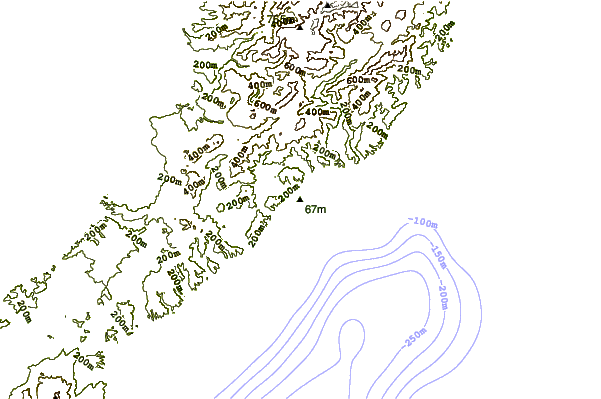
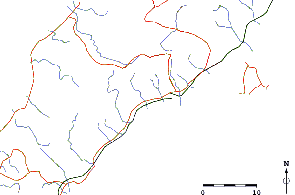
| Contours: | Roads & Rivers: | Select a
tide station / surf break / city |
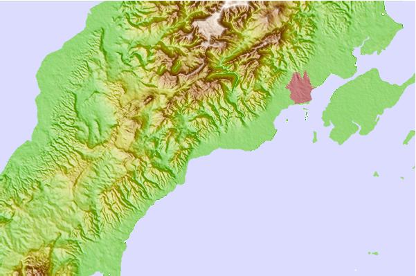
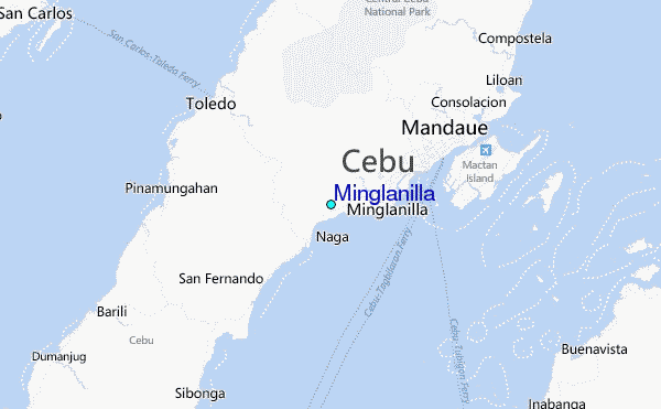
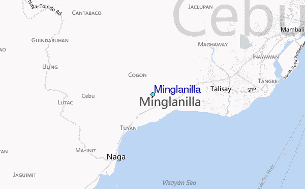
Use this relief map to navigate to tide stations, surf breaks and cities that are in the area of Minglanilla.
Other Nearby Locations' tide tables and tide charts to Minglanilla:
click location name for more details
 Surf breaks close to Minglanilla:
|
||
|---|---|---|
| Closest surf break | Llorente | 144 mi |
| Second closest surf break | Guitagican Beach | 146 mi |
| Third closest surf break | Boulevard | 147 mi |
| Fourth closest surf break | Pirates Cove | 147 mi |
| Fifth closest surf break | Calicoan Island ABCD Beach | 147 mi |


 Nearest
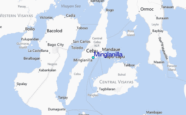