
| Distance / Altitude | Location | Report Date / Time | Live Weather | Wind | Gusts | Temp. | Visibility | Cloud |
|---|---|---|---|---|---|---|---|---|
| 272 km WSW / 23 m | Gurney (Papua New Guinea) | 2026-05-05 13:00 local (2026/05/05 03:00 GMT) | distant precipitation but not falling at station | - (- km/h at -) | 26°C | 30 | - - - | |
| 557 km ENE / 6 m | Munda-new Georgia (Solomon Islands) | 2026-05-05 13:00 local (2026/05/05 03:00 GMT) | Distant precipitation but not falling at station | wind obs. (7 kph from 90 degs) was rejected (- km/h at -) | 31°C | 20 km | - mostly cloudy - | |
| 566 km NNE / 853 m | lightning 11km SSW of Panguna (Papua New Guinea) | 2026-05-05 14:48 local (2026/05/05 04:48 GMT) | Thunderstorm | (- km/h at -) | — | |||
| 609 km ENE / 2 m | Penrhyn Island (Samoa) | 2026-05-05 13:00 local (2026/05/05 03:00 GMT) | - | wind obs. (11 kph from 50 degs) was rejected (- km/h at -) | 30°C | |||
| 627 km W / 48 m | Port Moresby (Papua New Guinea) | 2026-05-05 13:00 local (2026/05/05 03:00 GMT) | haze | fresh winds from the SSE (30 km/h at 160) | 26°C | 20 | - - - | |
| 690 km S / 9 m | Willis Island (Australia) | 2026-05-05 14:00 local (2026/05/05 04:00 GMT) | no report | fresh winds from the ESE (31 km/h at 110) | 25°C | - | - | |
| 715 km S / 0 m | Lihou Reef Lighthouse (Australia) | 2026-05-05 14:00 local (2026/05/05 04:00 GMT) | no report | fresh winds from the ESE (30 km/h at 110) | 24°C | - | - | |
| 801 km E / 15 m | Tingoa (Solomon Islands) | 2026-05-05 13:00 local (2026/05/05 03:00 GMT) | Distant precipitation but not falling at station | calm (0 km/h at 0) | 28°C | 20 km | mostly cloudy | |
| 803 km E / 377 m | lightning 38km SE of Honiara (Solomon Islands) | 2026-05-05 13:48 local (2026/05/05 03:48 GMT) | Thunderstorm | (- km/h at -) | — | |||
| 809 km E / 9 m | Honiara/Henderson Airport (Solomon Islands) | 2026-05-05 13:00 local (2026/05/05 03:00 GMT) | Distant precipitation but not falling at station | light winds from the NE (11 km/h at 50) | 31°C | 10.0 | few few - |
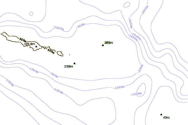
| Contours: | Roads & Rivers: | Select a
tide station / surf break / city |
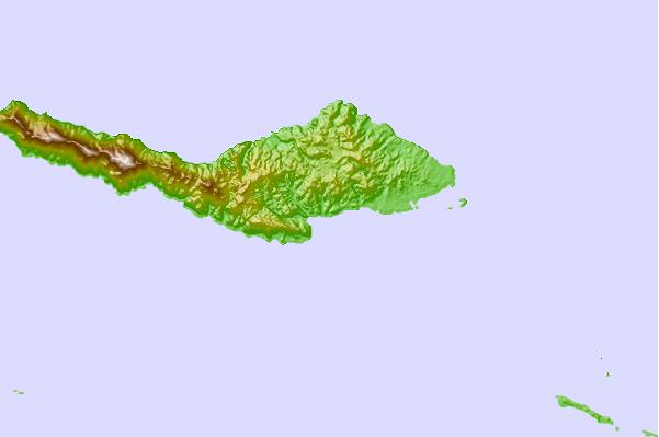
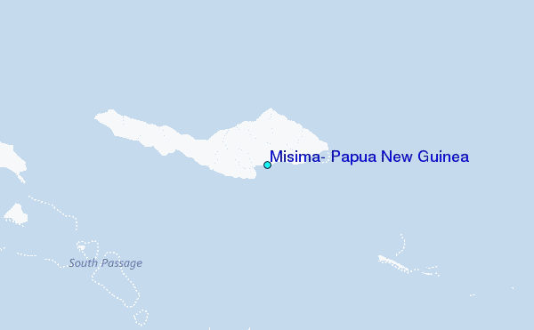
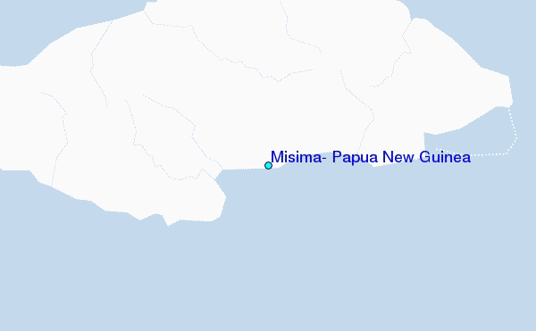
Use this relief map to navigate to tide stations, surf breaks and cities that are in the area of Misima, Papua New Guinea.
Other Nearby Locations' tide tables and tide charts to Misima, Papua New Guinea:
click location name for more details
 Surf breaks close to Misima, Papua New Guinea:
|
||
|---|---|---|
| Closest surf break | Pailongge | 327 mi |
| Second closest surf break | Titiana | 328 mi |
| Third closest surf break | Makuti | 334 mi |
| Fourth closest surf break | Coves | 336 mi |
| Fifth closest surf break | Despretes | 337 mi |


 Nearest
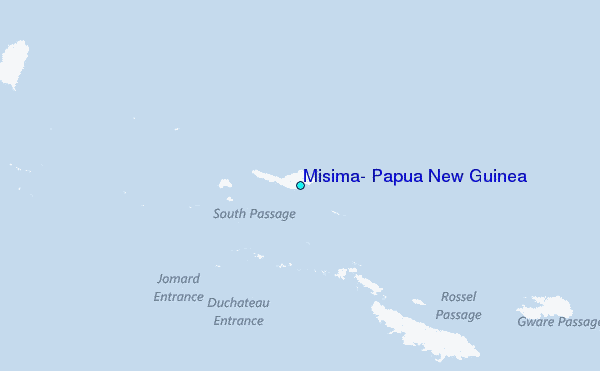