
| Distance / Altitude | Location | Report Date / Time | Live Weather | Wind | Gusts | Temp. | Visibility | Cloud |
|---|---|---|---|---|---|---|---|---|
| 47 km W / 216 m | Sand Point Airport (Alaska) | 2026-06-14 09:14 local (2026/06/14 17:14 GMT) | Light rain | light winds from the N (7 km/h at 360) | 8°C | 16 | few broken overcast | |
| 47 km W / 3 m | BUOY-SNDA2 (Marine) | 2026-06-14 10:00 local (2026/06/14 18:00 GMT) | calm (5 km/h at 40) | 8°C | - | |||
| 128 km WNW / 3 m | BUOY-NLXA2 (Marine) | 2026-06-14 10:32 local (2026/06/14 18:32 GMT) | moderate winds from the NE (22 km/h at 40) | 6°C | - | |||
| 142 km N / 3 m | BUOY-CPSA2 (Marine) | 2026-06-14 09:02 local (2026/06/14 17:02 GMT) | moderate winds from the NNE (24 km/h at 30) | 6°C | - | |||
| 145 km S / 3 m | Shumagin Islands Buoy (Marine) | 2026-06-14 10:30 local (2026/06/14 18:30 GMT) | light winds from the N (14 km/h at 360) | 7°C | - | |||
| 148 km S / - m | SHIP902 (ocean) | 2026-06-14 09:00 local (2026/06/14 17:00 GMT) | - | light winds from the N (11 km/h at 10) | 7°C | - | no observation | |
| 148 km S / - m | SHIP2088 (ocean) | 2026-06-14 08:00 local (2026/06/14 16:00 GMT) | - | light winds from the N (14 km/h at 360) | 7°C | - | no observation | |
| 148 km S / - m | SHIP194 (ocean) | 2026-06-14 09:00 local (2026/06/14 17:00 GMT) | - | light winds from the N (14 km/h at 360) | 7°C | - | no observation | |
| 148 km S / - m | SHIP912 (ocean) | 2026-06-14 09:00 local (2026/06/14 17:00 GMT) | - | light winds from the N (11 km/h at 10) | 7°C | - | no observation | |
| 148 km S / - m | SHIP1023 (ocean) | 2026-06-14 08:00 local (2026/06/14 16:00 GMT) | - | light winds from the N (14 km/h at 360) | 7°C | - | no observation |
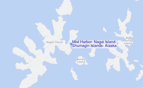
Choose Mist Harbor, Nagai Island, Shumagin Islands, Alaska Location Map Zoom:
| Contours: | Roads & Rivers: | Select a
tide station / surf break / city |
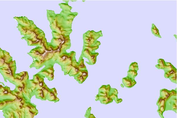
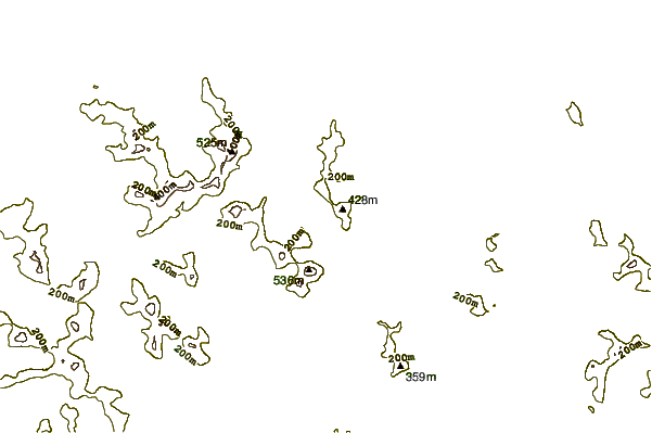

Use this relief map to navigate to tide stations, surf breaks and cities that are in the area of Mist Harbor, Nagai Island, Shumagin Islands, Alaska.
Other Nearby Locations' tide tables and tide charts to Mist Harbor, Nagai Island, Shumagin Islands, Alaska:
click location name for more details
 Surf breaks close to Mist Harbor, Nagai Island, Shumagin Islands, Alaska:
|
||
|---|---|---|
| Closest surf break | Fossil Beach Kodiak | 328 mi |
| Second closest surf break | Monashka Bay | 339 mi |
| Third closest surf break | Termination Point | 341 mi |
| Fourth closest surf break | Mill Bay | 341 mi |
| Fifth closest surf break | Bird Point (Tidal Bore) | 495 mi |


 Nearest
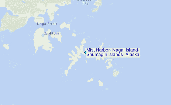