
| Distance / Altitude | Location | Report Date / Time | Live Weather | Wind | Gusts | Temp. | Visibility | Cloud |
|---|---|---|---|---|---|---|---|---|
| 29 km SW / 3 m | BUOY-PCXA2 (Marine) | 2025-12-29 09:32 local (2025/12/29 18:32 GMT) | light winds from the N (18 km/h at 10) | 1°C | - | |||
| 55 km ESE / 3 m | BUOY-FFIA2 (Marine) | 2025-12-29 09:00 local (2025/12/29 18:00 GMT) | strong winds from the SSE (46 km/h at 150) | 8°C | - | |||
| 56 km W / 3 m | BUOY-TKEA2 (Marine) | 2025-12-29 09:32 local (2025/12/29 18:32 GMT) | moderate winds from the E (24 km/h at 90) | 0°C | - | |||
| 59 km S / 3 m | BUOY-PGXA2 (Marine) | 2025-12-29 09:32 local (2025/12/29 18:32 GMT) | light winds from the NNW (13 km/h at 330) | 3°C | - | |||
| 69 km SSE / 215 m | Kake Airport (Alaska) | 2025-12-29 08:33 local (2025/12/29 17:33 GMT) | Light rain | moderate winds from the ESE.(Wind varies from 005 to 010 degs) (22 km/h at 120) | 7°C | 11 | broken broken overcast | |
| 71 km SW / 15 m | SHIP4298 (Marine) | 2025-12-29 07:00 local (2025/12/29 16:00 GMT) | moderate winds from the SE (27.720000000000002 km/h at 130) | — | - km | |||
| 71 km SW / 3 m | SHIP4240 (Marine) | 2025-12-29 07:00 local (2025/12/29 16:00 GMT) | moderate winds from the SE (28 km/h at 130) | 8°C | - | |||
| 71 km N / 3 m | BUOY-PAXA2 (Marine) | 2025-12-29 09:32 local (2025/12/29 18:32 GMT) | - (- km/h at -) | -5°C | - | |||
| 71 km SW / 15 m | SHIP3985 (Marine) | 2025-12-29 07:00 local (2025/12/29 16:00 GMT) | moderate winds from the SE (27.720000000000002 km/h at 130) | — | - km | |||
| 75 km SSW / 3 m | BUOY-STXA2 (Marine) | 2025-12-29 09:32 local (2025/12/29 18:32 GMT) | light winds from the SE (13 km/h at 140) | 8°C | - |
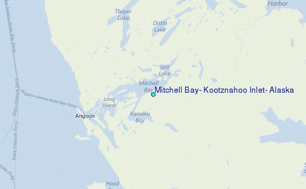
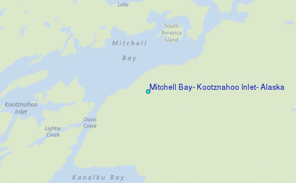
Choose Mitchell Bay, Kootznahoo Inlet, Alaska Location Map Zoom:
| Contours: | Roads & Rivers: | Select a
tide station / surf break / city |
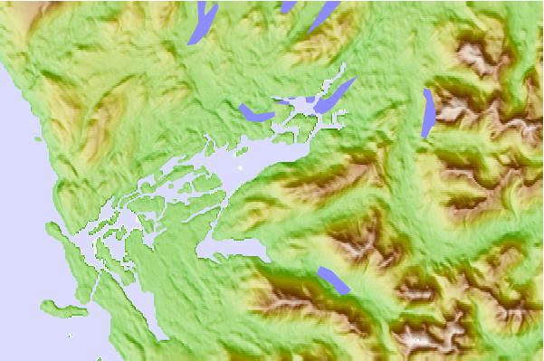
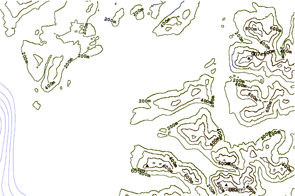
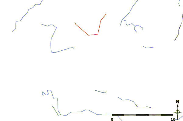
Use this relief map to navigate to tide stations, surf breaks and cities that are in the area of Mitchell Bay, Kootznahoo Inlet, Alaska.
Other Nearby Locations' tide tables and tide charts to Mitchell Bay, Kootznahoo Inlet, Alaska:
click location name for more details
 Surf breaks close to Mitchell Bay, Kootznahoo Inlet, Alaska:
|
||
|---|---|---|
| Closest surf break | Cannon Beach | 237 mi |
| Second closest surf break | Lepus Beach (Haida-Gwaii) | 239 mi |
| Third closest surf break | Graveyards | 240 mi |
| Fourth closest surf break | Ocean Cape | 241 mi |
| Fifth closest surf break | Tow Hill Beach | 259 mi |


 Nearest
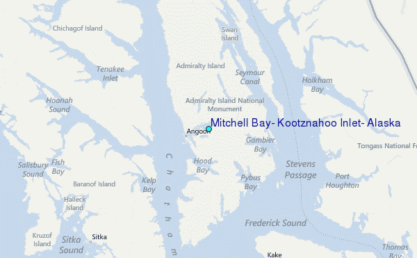