
| Distance / Altitude | Location | Report Date / Time | Live Weather | Wind | Gusts | Temp. | Visibility | Cloud |
|---|---|---|---|---|---|---|---|---|
| 563 km NW / 728 m | Gabagaba wx (Ethiopia) | 2026-02-24 04:46 local (2026/02/24 01:46 GMT) | - | calm (0 km/h at ) | — | - | - - 0 | |
| 688 km SSW / 1 m | Lamu (Kenya) | 2026-02-24 03:00 local (2026/02/24 00:00 GMT) | no report | wind obs. (13 kph from 180 degs) was rejected (- km/h at -) | 30°C | 30 | - | |
| 824 km SSW / 1 m | Malindi Airport (Kenya) | 2026-02-24 03:00 local (2026/02/24 00:00 GMT) | - | calm (0 km/h at 0) | 28°C | 10.0 | few | |
| 924 km SSW / 179 m | Mombasa-Moi International Airport (Kenya) | 2026-02-24 03:30 local (2026/02/24 00:30 GMT) | Dry and partly cloudy | light winds from the N (6 km/h at 1) | 27°C | 10.0 | scattered broken - | |
| 963 km SW / 1053 m | Makindu (Kenya) | 2026-02-24 03:00 local (2026/02/24 00:00 GMT) | no report | wind obs. (7 kph from 120 degs) was rejected (- km/h at -) | 24°C | 40 | - | |
| 965 km SSW / 87 m | Voi (Kenya) | 2026-02-24 03:00 local (2026/02/24 00:00 GMT) | no report | light winds from the WSW (15 km/h at 240) | 22°C | 30 | - | |
| 1009 km SW / 1624 m | Nairobi/Jomo Kenyatta Airport (Kenya) | 2026-02-24 03:30 local (2026/02/24 00:30 GMT) | Dry and partly cloudy | wind obs. (6 kph from 260 degs) was rejected (- km/h at -) | 17°C | 10.0 | scattered broken | |
| 1020 km SW / 1685 m | Nairobi Wilson Airport (Kenya) | 2026-02-24 03:00 local (2026/02/24 00:00 GMT) | Dry and partly cloudy | calm (0 km/h at 0) | 17°C | 10.0 | broken broken - | |
| 1025 km SW / 1796 m | Dagoretti Corner (Kenya) | 2026-02-24 03:00 local (2026/02/24 00:00 GMT) | intermittent light drizzle | wind obs. (6 kph from 110 degs) was rejected (- km/h at -) | 15°C | 30 | - | |
| 1028 km SW / 2191 m | Kijabe (Kenya) | 2026-02-24 04:01 local (2026/02/24 01:01 GMT) | dry | calm (0 km/h at 77) | 14°C | - | - - 0 |

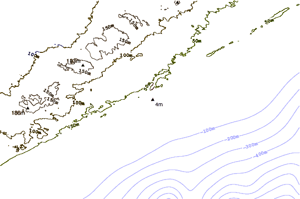
| Contours: | Roads & Rivers: | Select a
tide station / surf break / city |
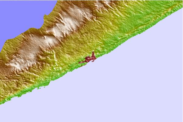
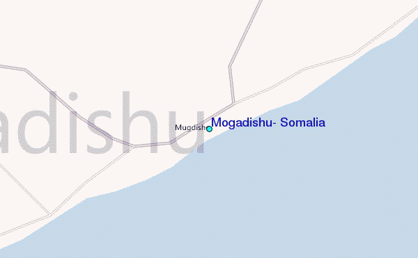
Use this relief map to navigate to tide stations, surf breaks and cities that are in the area of Mogadishu, Somalia.
Other Nearby Locations' tide tables and tide charts to Mogadishu, Somalia:
click location name for more details
 Surf breaks close to Mogadishu, Somalia:
|
||
|---|---|---|
| Closest surf break | Malindi Bay | 511 mi |
| Second closest surf break | Watamu Bay | 523 mi |
| Third closest surf break | Mombasa Channel | 576 mi |
| Fourth closest surf break | Nungwi Reefs | 679 mi |
| Fifth closest surf break | Pirights | 712 mi |


 Nearest
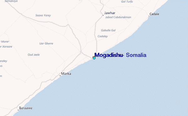