
| Distance / Altitude | Location | Report Date / Time | Live Weather | Wind | Gusts | Temp. | Visibility | Cloud |
|---|---|---|---|---|---|---|---|---|
| 1 km SSE / 3 m | BUOY-MOKH1 (Marine) | 2026-04-01 13:36 local (2026/04/01 23:36 GMT) | light winds from the NNE (18 km/h at 30) | 23°C | - | |||
| 3 km E / 216 m | Kaneohe Bay Marine Corps Airfield Airport (Hawaii) | 2026-04-01 12:57 local (2026/04/01 22:57 GMT) | Dry and partly cloudy | light winds from the ENE (17 km/h at 60) | 25°C | 11 | scattered | |
| 3 km SW / 3 m | BUOY-HRRH1 (Marine) | 2026-04-01 13:30 local (2026/04/01 23:30 GMT) | light winds from the NE (9 km/h at 40) | 24°C | - | |||
| 6 km NE / 3 m | Kaneohe Bay- WETS- HI (Marine) | 2026-04-01 13:56 local (2026/04/01 23:56 GMT) | - (- km/h at -) | — | - | |||
| 12 km ESE / 3 m | Mokapu Point- HI (Marine) | 2026-04-01 13:56 local (2026/04/01 23:56 GMT) | - (- km/h at -) | — | - | |||
| 16 km S / 183 m | Saint Louis Heights wx (United States) | 2026-04-01 13:18 local (2026/04/01 23:18 GMT) | dry | light winds from the E (8 km/h at 80) | 27°C | - | - - 0 | |
| 17 km S / 3 m | BUOY-OOUH1 (Marine) | 2026-04-01 13:48 local (2026/04/01 23:48 GMT) | light winds from the E (9 km/h at 90) | — | - | |||
| 17 km WSW / 132 m | Pacific Palisades wx (United States) | 2026-04-01 14:16 local (2026/04/02 00:16 GMT) | dry | wind obs. (13 kph from 101 degs) was rejected (- km/h at -) | 26°C | - | - - 0 | |
| 19 km SW / 3 m | BUOY-PRHH1 (Marine) | 2026-04-01 13:48 local (2026/04/01 23:48 GMT) | light winds from the NNE (18 km/h at 30) | — | - | |||
| 20 km SSW / 218 m | Honolulu Airport (Hawaii) | 2026-04-01 12:53 local (2026/04/01 22:53 GMT) | - | light winds from the E (17 km/h at 80) | 27°C | 16 | few few |
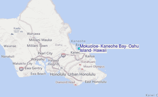
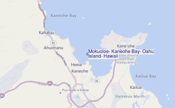
Choose Mokuoloe, Kaneohe Bay, Oahu Island, Hawaii Location Map Zoom:
| Contours: | Roads & Rivers: | Select a
tide station / surf break / city |
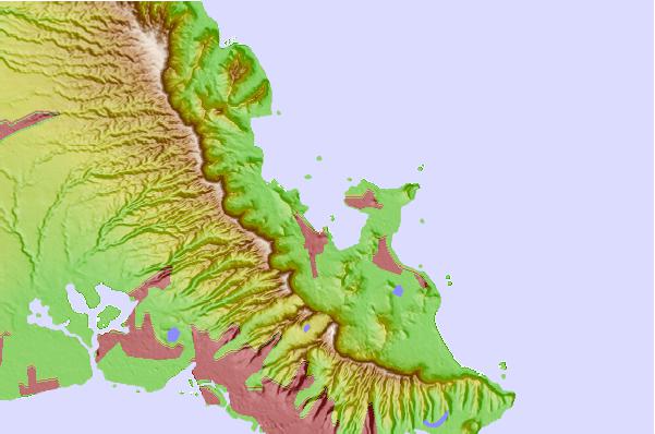
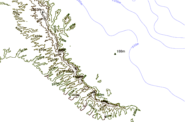
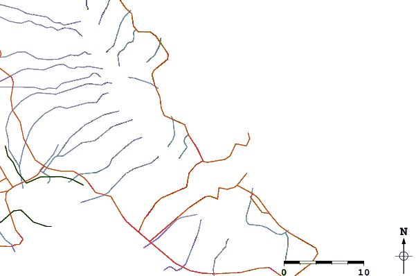
Use this relief map to navigate to tide stations, surf breaks and cities that are in the area of Mokuoloe, Kaneohe Bay, Oahu Island, Hawaii.
Other Nearby Locations' tide tables and tide charts to Mokuoloe, Kaneohe Bay, Oahu Island, Hawaii:
click location name for more details
 Surf breaks close to Mokuoloe, Kaneohe Bay, Oahu Island, Hawaii:
|
||
|---|---|---|
| Closest surf break | Ripps Reef | 1 mi |
| Second closest surf break | Castles Beach | 3 mi |
| Third closest surf break | Pyramid Rock | 3 mi |
| Fourth closest surf break | Kalama | 4 mi |
| Fifth closest surf break | Dune Circle | 4 mi |


 Nearest
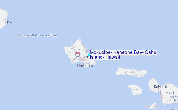