
| Distance / Altitude | Location | Report Date / Time | Live Weather | Wind | Gusts | Temp. | Visibility | Cloud |
|---|---|---|---|---|---|---|---|---|
| 66 km WSW / 6 m | Munda-New Georgia (Solomon Islands) | 2025-12-24 20:00 local (2025/12/24 09:00 GMT) | distant precipitation but not falling at station | - (- km/h at -) | 25°C | 4000 | - - - | |
| 77 km SSE / 2 m | Penrhyn Island (Samoa) | 2025-12-24 20:00 local (2025/12/24 09:00 GMT) | - | fresh winds from the NNE (33 km/h at 20) | 26°C | |||
| 175 km E / 129 m | lightning 21km WNW of Buala (Solomon Islands) | 2025-12-24 20:35 local (2025/12/24 09:35 GMT) | Thunderstorm | (- km/h at -) | — | |||
| 197 km SSE / 0 m | lightning 154km WSW of Honiara (Solomon Islands) | 2025-12-24 20:04 local (2025/12/24 09:04 GMT) | Thunderstorm | (- km/h at -) | — | |||
| 245 km WNW / 3 m | Taro Island (Solomon Islands) | 2025-12-24 20:00 local (2025/12/24 09:00 GMT) | distant precipitation but not falling at station | wind obs. (11 kph from 140 degs) was rejected (- km/h at -) | 26°C | 20 | - | |
| 258 km ESE / 182 m | Honiara (Solomon Islands) | 2025-12-24 20:00 local (2025/12/24 09:00 GMT) | moderate to heavy rain showers | wind obs. (22 kph from 180 degs) was rejected (- km/h at -) | 24°C | 10 | - | |
| 268 km ESE / 9 m | Honiara/Henderson Airport (Solomon Islands) | 2025-12-24 20:00 local (2025/12/24 09:00 GMT) | continuous light rain | wind obs. (7 kph from 200 degs) was rejected (- km/h at -) | 24°C | 10 | - | |
| 319 km E / 11 m | Auki (Solomon Islands) | 2025-12-24 20:00 local (2025/12/24 09:00 GMT) | distant precipitation but not falling at station | calm (4 km/h at 90) | — | 10 | - | |
| 479 km E / 15 m | ASCATB162E8S (Marine) | 2025-12-24 20:45 local (2025/12/24 09:45 GMT) | light winds from the E (10 km/h at 81) | — | - km | |||
| 492 km E / 15 m | ASCATB162E9S (Marine) | 2025-12-24 20:45 local (2025/12/24 09:45 GMT) | light winds from the NNE (10 km/h at 12) | — | - km |

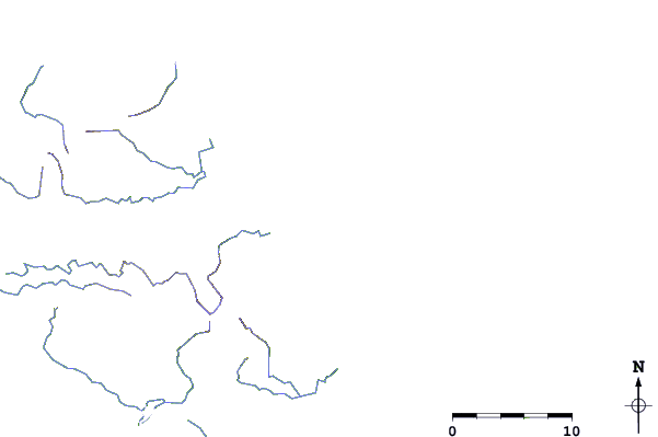
| Contours: | Roads & Rivers: | Select a
tide station / surf break / city |
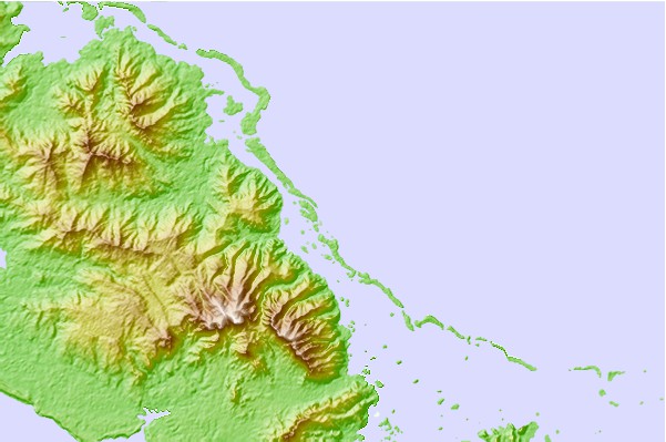
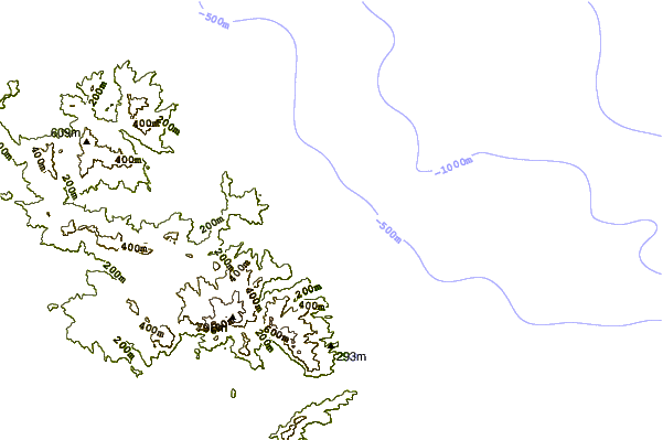
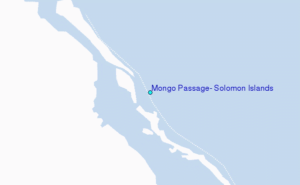
Use this relief map to navigate to tide stations, surf breaks and cities that are in the area of Mongo Passage, Solomon Islands.
Other Nearby Locations' tide tables and tide charts to Mongo Passage, Solomon Islands:
click location name for more details
 Surf breaks close to Mongo Passage, Solomon Islands:
|
||
|---|---|---|
| Closest surf break | Kundu Kundu | 44 mi |
| Second closest surf break | Lavata | 44 mi |
| Third closest surf break | Coves | 47 mi |
| Fourth closest surf break | Mbirimbiri | 47 mi |
| Fifth closest surf break | Skull Island | 48 mi |


 Nearest
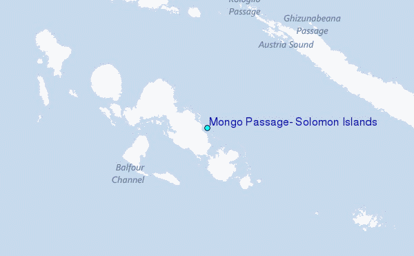