
| Distance / Altitude | Location | Report Date / Time | Live Weather | Wind | Gusts | Temp. | Visibility | Cloud |
|---|---|---|---|---|---|---|---|---|
| 0 km N / 3 m | BUOY-MTKN6 (Marine) | 2026-05-01 04:30 local (2026/05/01 08:30 GMT) | - (- km/h at -) | 9°C | - | |||
| 4 km ENE / 202 m | Montauk Airport (New York) | 2026-05-01 03:54 local (2026/05/01 07:54 GMT) | - | light winds from the WNW (13 km/h at 290) | 8°C | 0.0 | ||
| 33 km NW / 218 m | Groton/New London Airport (Connecticut) | 2026-05-01 03:56 local (2026/05/01 07:56 GMT) | Clear | light winds from the NW (13 km/h at 310) | 7°C | 16 | ||
| 36 km NNE / 218 m | Westerly Airport (Rhode Island) | 2026-05-01 04:53 local (2026/05/01 08:53 GMT) | Clear | light winds from the WNW (6 km/h at 290) | 7°C | 16 | ||
| 36 km ENE / 211 m | Block Island Airport (Rhode Island) | 2026-05-01 03:56 local (2026/05/01 07:56 GMT) | Clear | light winds from the W (13 km/h at 280) | 7°C | 16 | ||
| 38 km NW / 3 m | BUOY-NLHC3 (Marine) | 2026-05-01 04:30 local (2026/05/01 08:30 GMT) | - (- km/h at -) | 8°C | - | |||
| 59 km WNW / 219 m | Chester Airport (CT) (United States) | 2026-05-01 04:35 local (2026/05/01 08:35 GMT) | Clear | calm (0 km/h at 0) | 6°C | 16 | ||
| 60 km SW / 216 m | Westhampton Beach/Francis S. Gabreski Airport (New York) | 2026-05-01 03:53 local (2026/05/01 07:53 GMT) | Clear | light winds from the NNW (6 km/h at 340) | 3°C | 16 | ||
| 71 km E / 3 m | Block Island- RI (Marine) | 2026-05-01 04:56 local (2026/05/01 08:56 GMT) | - (- km/h at -) | — | - | |||
| 73 km NE / 3 m | BUOY-NWPR1 (Marine) | 2026-05-01 04:30 local (2026/05/01 08:30 GMT) | light winds from the NW (9 km/h at 310) | 9°C | - |
| Contours: | Roads & Rivers: | Select a
tide station / surf break / city |
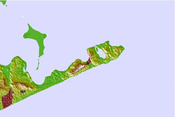
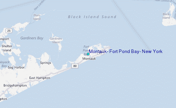
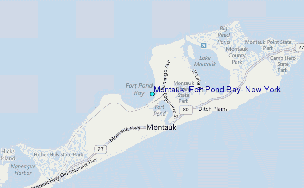
Use this relief map to navigate to tide stations, surf breaks and cities that are in the area of Montauk, Fort Pond Bay, New York.
Other Nearby Locations' tide tables and tide charts to Montauk, Fort Pond Bay, New York:
click location name for more details
 Surf breaks close to Montauk, Fort Pond Bay, New York:
|
||
|---|---|---|
| Closest surf break | Fortress | 2 mi |
| Second closest surf break | Atlantic Terrace | 2 mi |
| Third closest surf break | Trailor Park | 2 mi |
| Fourth closest surf break | Ditch Plains | 3 mi |
| Fifth closest surf break | North Bar | 4 mi |


 Nearest
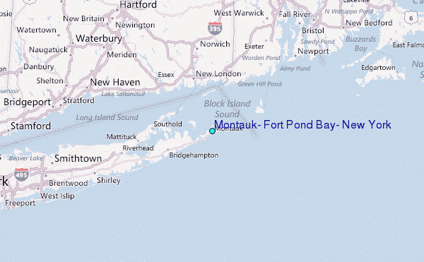