
| Distance / Altitude | Location | Report Date / Time | Live Weather | Wind | Gusts | Temp. | Visibility | Cloud |
|---|---|---|---|---|---|---|---|---|
| 6 km SW / 3 m | BUOY-NTBC1 (Marine) | 2026-05-23 07:36 local (2026/05/23 14:36 GMT) | calm (4 km/h at 260) | 13°C | - | |||
| 20 km WSW / 218 m | Santa Barbara Airport (California) | 2026-05-23 06:53 local (2026/05/23 13:53 GMT) | Mist - | wind obs. (6 kph from 270 degs) was rejected (- km/h at -) | 13°C | 5 | overcast | |
| 28 km SSW / 3 m | East Santa Barbara Buoy (Marine) | 2026-05-23 08:20 local (2026/05/23 15:20 GMT) | light winds from the WNW (11 km/h at 290) | 13°C | - | |||
| 31 km S / - m | SHIP1586 (ocean) | 2026-05-23 07:00 local (2026/05/23 14:00 GMT) | - | light winds from the W (7 km/h at 280) | 13°C | - | no observation | |
| 31 km NNE / 1410 m | Reedley Airport (California) (California) | 2026-05-23 07:35 local (2026/05/23 14:35 GMT) | Clear | wind obs. (9 kph from 130 degs) was rejected (- km/h at -) | 18°C | 11 | ||
| 30 km S / - m | SHIP754 (ocean) | 2026-05-23 08:00 local (2026/05/23 15:00 GMT) | - | light winds from the WNW (11 km/h at 290) | 13°C | - | no observation | |
| 30 km S / - m | SHIP182 (ocean) | 2026-05-23 08:00 local (2026/05/23 15:00 GMT) | - | light winds from the WNW (11 km/h at 300) | 13°C | - | no observation | |
| 30 km S / - m | SHIP1099 (ocean) | 2026-05-23 07:00 local (2026/05/23 14:00 GMT) | - | light winds from the W (7 km/h at 280) | 13°C | - | no observation | |
| 30 km S / - m | SHIP2430 (ocean) | 2026-05-23 08:00 local (2026/05/23 15:00 GMT) | - | light winds from the WNW (11 km/h at 290) | 13°C | - | no observation | |
| 30 km S / - m | SHIP94 (ocean) | 2026-05-23 08:00 local (2026/05/23 15:00 GMT) | - | light winds from the WNW (11 km/h at 300) | 13°C | - | no observation |
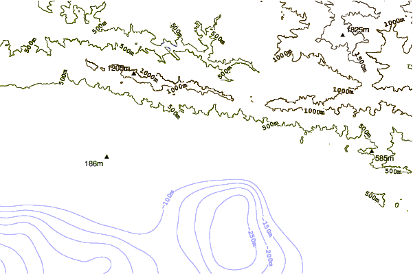
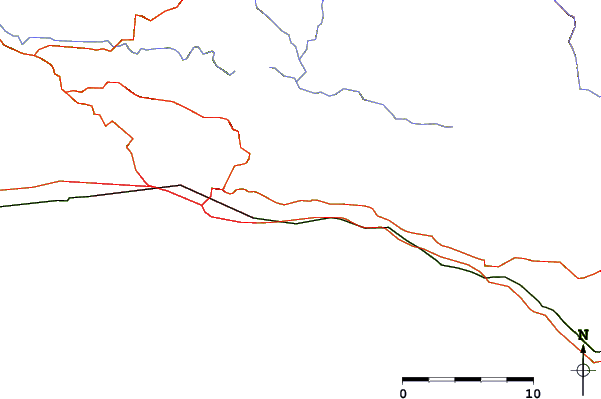
| Contours: | Roads & Rivers: | Select a
tide station / surf break / city |
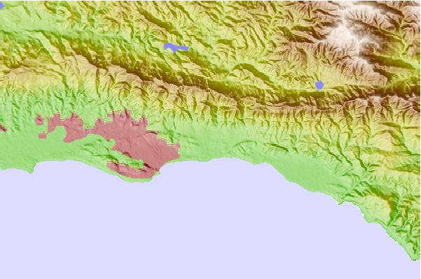
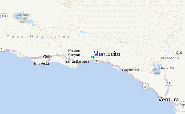
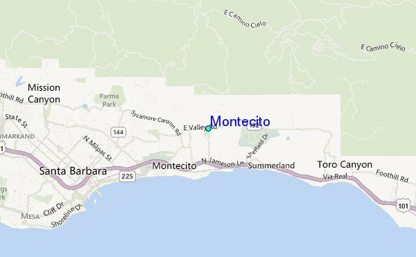
Use this relief map to navigate to tide stations, surf breaks and cities that are in the area of Montecito.
Other Nearby Locations' tide tables and tide charts to Montecito:
click location name for more details
 Surf breaks close to Montecito:
|
||
|---|---|---|
| Closest surf break | Fernald Point | 1 mi |
| Second closest surf break | Hammonds Reef | 1 mi |
| Third closest surf break | Miramar | 1 mi |
| Fourth closest surf break | Sandspit | 4 mi |
| Fifth closest surf break | Leadbetter | 4 mi |


 Nearest
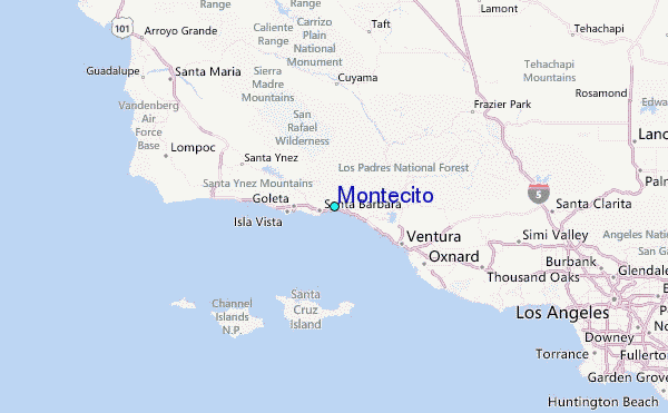