
| Distance / Altitude | Location | Report Date / Time | Live Weather | Wind | Gusts | Temp. | Visibility | Cloud |
|---|---|---|---|---|---|---|---|---|
| 7 km W / 25 m | Boston (Massachusetts) | 2025-12-25 19:10 local (2025/12/26 00:10 GMT) | - | calm (0 km/h at 73) | -3°C | - | - - 0 | |
| 7 km SW / 34 m | Lower Mills wx (United States) | 2025-12-25 19:02 local (2025/12/26 00:02 GMT) | - | calm (0 km/h at 278) | -3°C | - | - - 0 | |
| 7 km NW / 218 m | Boston Airport (Massachusetts) | 2025-12-25 17:54 local (2025/12/25 22:54 GMT) | - | fresh winds from the NNW (33 km/h at 340) | -2°C | 16 | few | |
| 7 km WNW / 3 m | BUOY-BHBM3 (Marine) | 2025-12-25 18:36 local (2025/12/25 23:36 GMT) | - (- km/h at -) | — | - | |||
| 8 km E / 17 m | Hull (Massachusetts) | 2025-12-25 18:06 local (2025/12/25 23:06 GMT) | - | gales from the NNW (66 km/h at 342) | -2°C | - | - - 0 | |
| 8 km NNE / 10 m | Winthrop (Massachusetts) | 2025-12-25 18:03 local (2025/12/25 23:03 GMT) | - | wind obs. (13 kph from 26 degs) was rejected (- km/h at -) | -3°C | - | - - 0 | |
| 9 km SSW / 25 m | Milton (Massachusetts) | 2025-12-25 18:38 local (2025/12/25 23:38 GMT) | - | calm (3 km/h at 288) | -3°C | - | - - 0 | |
| 10 km SSE / 16 m | North Weymouth (Massachusetts) | 2025-12-25 18:29 local (2025/12/25 23:29 GMT) | dry | calm (2 km/h at 0) | — | - | - - 0 | |
| 10 km SSE / 19 m | Weymouth (Massachusetts) | 2025-12-25 18:24 local (2025/12/25 23:24 GMT) | - | light winds from the NNW (18 km/h at 338) | — | - | - - 0 | |
| 10 km WSW / 28 m | Forest Hills wx (United States) | 2025-12-25 18:31 local (2025/12/25 23:31 GMT) | - | light winds from the NNW (8 km/h at 331) | -3°C | - | - - 0 |
| Contours: | Roads & Rivers: | Select a
tide station / surf break / city |
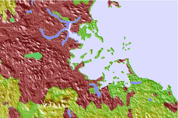
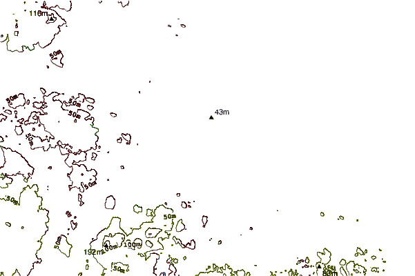
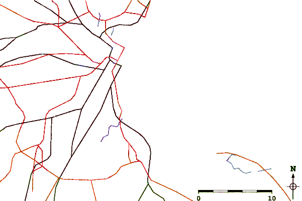
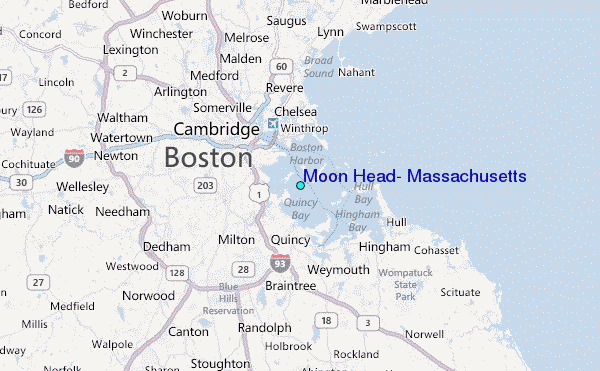
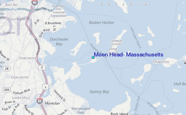
Use this relief map to navigate to tide stations, surf breaks and cities that are in the area of Moon Head, Massachusetts.
Other Nearby Locations' tide tables and tide charts to Moon Head, Massachusetts:
click location name for more details
 Surf breaks close to Moon Head, Massachusetts:
|
||
|---|---|---|
| Closest surf break | Winthrop Jetty | 3 mi |
| Second closest surf break | Nantasket Beach | 6 mi |
| Third closest surf break | Nahant Beach | 9 mi |
| Fourth closest surf break | Lynne Beach | 11 mi |
| Fifth closest surf break | Egypt Beach | 16 mi |


 Nearest
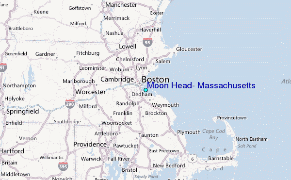