
| Distance / Altitude | Location | Report Date / Time | Live Weather | Wind | Gusts | Temp. | Visibility | Cloud |
|---|---|---|---|---|---|---|---|---|
| 1 km W / 3 m | BUOY-MBXC1 (Marine) | 2026-05-18 02:40 local (2026/05/18 09:40 GMT) | - (- km/h at -) | — | - | |||
| 19 km S / 3 m | Diablo Canyon- CA (Marine) | 2026-05-18 02:56 local (2026/05/18 09:56 GMT) | - (- km/h at -) | — | - | |||
| 24 km SSE / 3 m | BUOY-CPXC1 (Marine) | 2026-05-18 02:03 local (2026/05/18 09:03 GMT) | calm (5 km/h at 10) | 10°C | - | |||
| 24 km SSE / 3 m | BUOY-PSLC1 (Marine) | 2026-05-18 02:30 local (2026/05/18 09:30 GMT) | - (- km/h at -) | — | - | |||
| 25 km SE / 216 m | San Luis Obispo Airport (California) | 2026-05-18 01:56 local (2026/05/18 08:56 GMT) | Clear | light winds from the SE (6 km/h at 140) | 8°C | 11 | ||
| 39 km NNE / 715 m | Paso Robles Airport (California) | 2026-05-18 01:53 local (2026/05/18 08:53 GMT) | Clear | light winds from the NW (6 km/h at 310) | 12°C | 16 | ||
| 40 km NNE / 80 m | Cal Poly Engineering (United States) | 2026-05-18 03:00 local (2026/05/18 10:00 GMT) | - | wind obs. (7 kph from 229 degs) was rejected (- km/h at -) | 8°C | - | - - 0 | |
| 49 km S / 3 m | Santa Maria Buoy (Marine) | 2026-05-18 02:50 local (2026/05/18 09:50 GMT) | calm (4 km/h at 40) | 12°C | - | |||
| 54 km S / - m | SHIP1645 (ocean) | 2026-05-18 03:00 local (2026/05/18 10:00 GMT) | - | light winds from the ENE (7 km/h at 70) | 12°C | - | no observation | |
| 54 km S / - m | SHIP426 (ocean) | 2026-05-18 02:00 local (2026/05/18 09:00 GMT) | - | light winds from the N (7 km/h at 360) | 12°C | - | no observation |
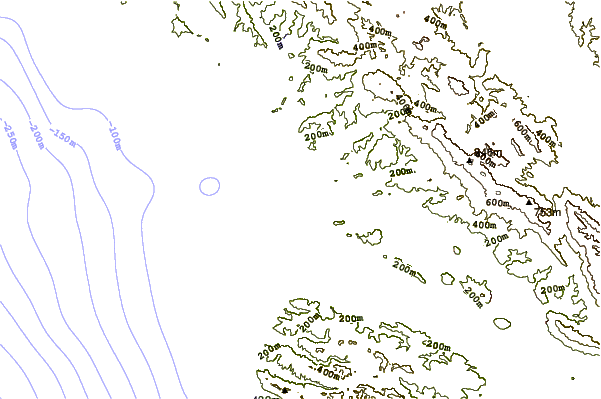
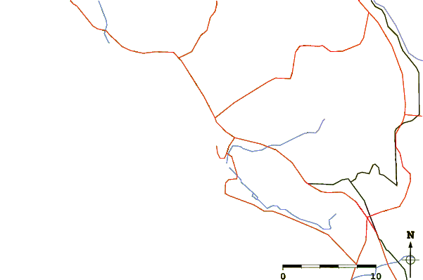
| Contours: | Roads & Rivers: | Select a
tide station / surf break / city |
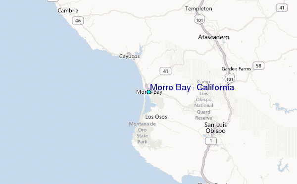
Use this relief map to navigate to tide stations, surf breaks and cities that are in the area of Morro Bay, California.
Other Nearby Locations' tide tables and tide charts to Morro Bay, California:
click location name for more details
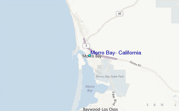
 Surf breaks close to Morro Bay, California:
|
||
|---|---|---|
| Closest surf break | Morro Bay | 1 mi |
| Second closest surf break | Morro Rock | 2 mi |
| Third closest surf break | Sand spit | 4 mi |
| Fourth closest surf break | Studio Drive | 4 mi |
| Fifth closest surf break | Hazard Canyon | 6 mi |


 Nearest
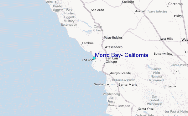