
| Distance / Altitude | Location | Report Date / Time | Live Weather | Wind | Gusts | Temp. | Visibility | Cloud |
|---|---|---|---|---|---|---|---|---|
| 29 km NE / 191 m | George Airport (South Africa) | 2026-04-25 16:00 local (2026/04/25 14:00 GMT) | no report | wind obs. (20 kph from 90 degs) was rejected (- km/h at -) | 15°C | 20 | - | |
| 29 km NE / 215 m | George Airport (South Africa) | 2026-04-25 15:00 local (2026/04/25 13:00 GMT) | - | light winds from the SSW.(Wind varies from 160 to 230 degs) (13 km/h at 200) | — | 0.0 | ||
| 72 km SW / 103 m | Stilbaai (South Africa) | 2026-04-25 16:00 local (2026/04/25 14:00 GMT) | no report | wind obs. (20 kph from 60 degs) was rejected (- km/h at -) | 17°C | - | - | |
| 84 km WSW / 99 m | Riversdale (S. Africa) | 2026-04-25 16:00 local (2026/04/25 14:00 GMT) | no report | wind obs. (7 kph from 100 degs) was rejected (- km/h at -) | 13°C | - | - | |
| 104 km SSE / 3 m | SHIP1014 (Marine) | 2026-04-25 14:00 local (2026/04/25 12:00 GMT) | fresh winds from the WSW (32 km/h at 250) | 22°C | - | |||
| 104 km SSE / 15 m | SHIP6168 (Marine) | 2026-04-25 14:00 local (2026/04/25 12:00 GMT) | fresh winds from the WSW (32.4 km/h at 250) | — | - km | |||
| 104 km SSE / 15 m | SHIP4151 (Marine) | 2026-04-25 14:00 local (2026/04/25 12:00 GMT) | fresh winds from the WSW (32.4 km/h at 250) | — | - km | |||
| 104 km SSE / 3 m | SHIP9288 (Marine) | 2026-04-25 14:00 local (2026/04/25 12:00 GMT) | fresh winds from the WSW (32 km/h at 250) | 22°C | - | |||
| 104 km SSE / 3 m | SHIP2011 (Marine) | 2026-04-25 14:00 local (2026/04/25 12:00 GMT) | fresh winds from the WSW (32 km/h at 250) | 22°C | - | |||
| 104 km SSE / 3 m | SHIP3304 (Marine) | 2026-04-25 14:00 local (2026/04/25 12:00 GMT) | fresh winds from the WSW (32 km/h at 250) | 22°C | - |

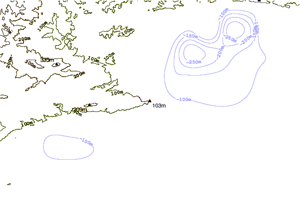
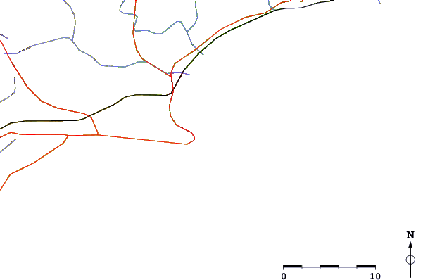
| Contours: | Roads & Rivers: | Select a
tide station / surf break / city |
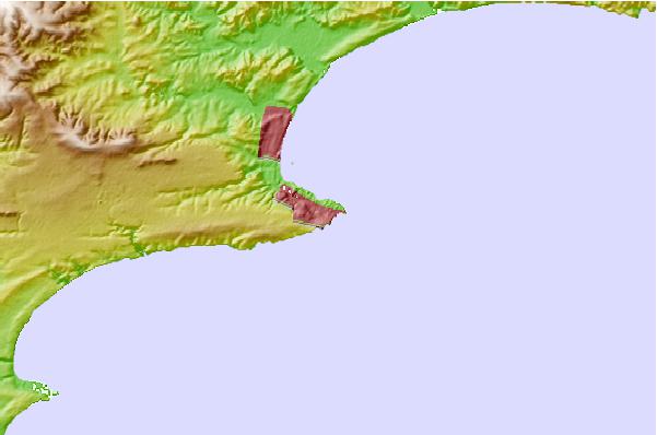
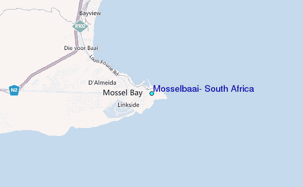
Use this relief map to navigate to tide stations, surf breaks and cities that are in the area of Mosselbaai, South Africa.
Other Nearby Locations' tide tables and tide charts to Mosselbaai, South Africa:
click location name for more details
 Surf breaks close to Mosselbaai, South Africa:
|
||
|---|---|---|
| Closest surf break | Outer Pool | 1 mi |
| Second closest surf break | Inner Pool | 1 mi |
| Third closest surf break | Santos Reef | 2 mi |
| Fourth closest surf break | Ding Dangs | 3 mi |
| Fifth closest surf break | Dias Beach | 4 mi |


 Nearest
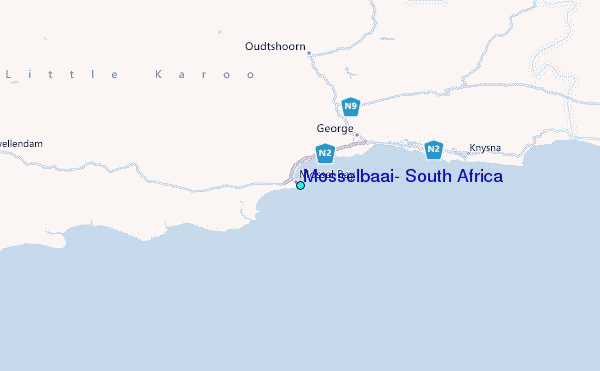