
| Distance / Altitude | Location | Report Date / Time | Live Weather | Wind | Gusts | Temp. | Visibility | Cloud |
|---|---|---|---|---|---|---|---|---|
| 25 km SE / 6 m | NelsonAeroAws (New Zealand) | 2026-04-17 14:00 local (2026/04/17 02:00 GMT) | Clear skies | light winds from the NE (7 km/h at 40) | 16°C | 20 km | no observation | |
| 65 km N / 5 m | FarewellSpitAws (New Zealand) | 2026-04-17 14:00 local (2026/04/17 02:00 GMT) | - | fresh winds from the NW (30 km/h at 310) | 19°C | - | - no observation - | |
| 69 km NW / 100 m | Collingwood (New Zealand) | 2026-04-17 13:20 local (2026/04/17 01:20 GMT) | dry | wind obs. (16 kph from 350 degs) was rejected (- km/h at -) | 18°C | - | - - 0 | |
| 81 km ESE / 50 m | Blenheim (New Zealand) | 2026-04-17 14:19 local (2026/04/17 02:19 GMT) | dry | light winds from the W (10 km/h at 277) | 19°C | - | - - 0 | |
| 98 km ENE / -152 m | Stephens Island Automatic Weather Station (New Zealand) | 2026-04-17 14:00 local (2026/04/17 02:00 GMT) | - | wind obs. (37 kph from 270 degs) was rejected (- km/h at -) | 17°C | - | no observation | |
| 98 km ENE / -152 m | Stephens Island Automatic Weather Station (New Zealand) | 2026-04-17 13:00 local (2026/04/17 01:00 GMT) | - | moderate winds from the W (28 km/h at 270) | 16°C | - | - no observation - | |
| 124 km ESE / 6 m | CapeCampbellAws (New Zealand) | 2026-04-17 14:00 local (2026/04/17 02:00 GMT) | - | fresh winds from the N (30 km/h at 360) | 15°C | - | - no observation - | |
| 138 km SW / 5 m | WestportAeroAws (New Zealand) | 2026-04-17 14:00 local (2026/04/17 02:00 GMT) | Clear skies | light winds from the NE (9 km/h at 40) | 14°C | 10 km | no observation | |
| 148 km E / 116 m | Wellington (New Zealand) | 2026-04-17 13:25 local (2026/04/17 01:25 GMT) | dry | wind obs. (6 kph from 214 degs) was rejected (- km/h at -) | 16°C | - | - - 0 | |
| 151 km E / 201 m | Wellington International Airport (New Zealand) | 2026-04-17 13:30 local (2026/04/17 01:30 GMT) | Clear skies | moderate winds from the NNW (24 km/h at 340) | 18°C | 10 km | - no observation - |
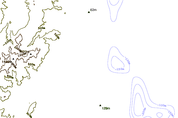
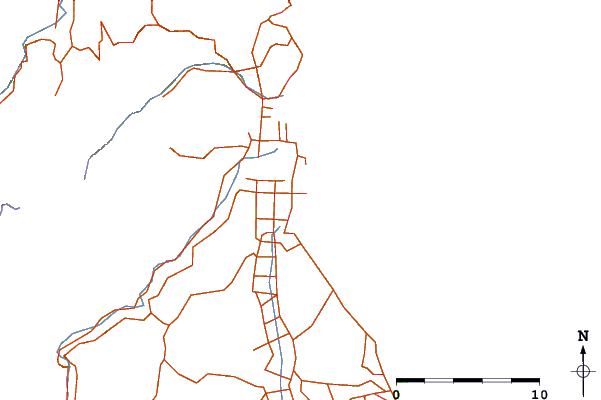
| Contours: | Roads & Rivers: | Select a
tide station / surf break / city |
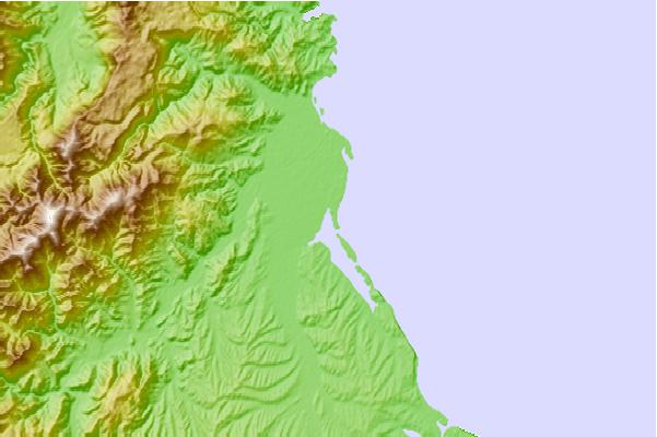
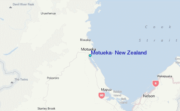
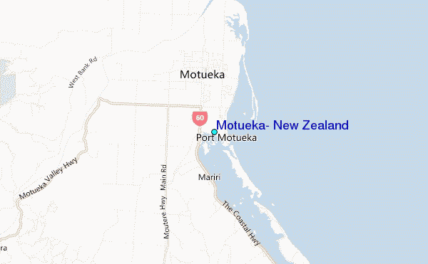
Use this relief map to navigate to tide stations, surf breaks and cities that are in the area of Motueka, New Zealand.
Other Nearby Locations' tide tables and tide charts to Motueka, New Zealand:
click location name for more details
 Surf breaks close to Motueka, New Zealand:
|
||
|---|---|---|
| Closest surf break | Ruby Bay | 7 mi |
| Second closest surf break | Rabbit Island | 11 mi |
| Third closest surf break | Tahunanui bar | 14 mi |
| Fourth closest surf break | Outer Cut | 16 mi |
| Fifth closest surf break | Tahunanui Beach | 16 mi |


 Nearest