
| Distance / Altitude | Location | Report Date / Time | Live Weather | Wind | Gusts | Temp. | Visibility | Cloud |
|---|---|---|---|---|---|---|---|---|
| 158 km WSW / 323 m | Nampula Airport (Mozambique) | 2025-12-25 22:00 local (2025/12/25 20:00 GMT) | Dry and partly cloudy | light winds from the N (11 km/h at 10) | 24°C | 10.0 | broken | |
| 230 km N / 446 m | Pemba Airport (Mozambique) | 2025-12-25 22:00 local (2025/12/25 20:00 GMT) | - | calm (0 km/h at 0) | 28°C | 10.0 | few | |
| 308 km SE / 10 m | Ile Juan DE Nova (France) | 2025-12-25 23:00 local (2025/12/25 21:00 GMT) | no report | wind obs. (7 kph from 130 degs) was rejected (- km/h at -) | 30°C | - | - | |
| 397 km W / 756 m | Marrupa (Mozambique) | 2025-12-25 23:00 local (2025/12/25 21:00 GMT) | no report | wind obs. (11 kph from 130 degs) was rejected (- km/h at -) | 27°C | 20 | - | |
| 518 km SSW / 505 m | Quelimane (Mozambique) | 2025-12-25 22:00 local (2025/12/25 20:00 GMT) | Dry and partly cloudy | calm (0 km/h at 0) | 26°C | 10.0 | scattered broken | |
| 518 km SSW / 505 m | Quelimane Airport (Mozambique) | 2025-12-25 22:00 local (2025/12/25 20:00 GMT) | Dry and partly cloudy | calm (0 km/h at 0) | 26°C | 10.0 | scattered broken | |
| 531 km N / 277 m | Mtwara (Tanzania) | 2025-12-25 22:00 local (2025/12/25 20:00 GMT) | Dry and partly cloudy | light winds from the NNE (13 km/h at 20) | 28°C | 10.0 | scattered | |
| 549 km ENE / 411 m | Dzaoudzi/Pamanzi Airport (Comoros) | 2025-12-25 22:30 local (2025/12/25 20:30 GMT) | - | light winds from the N (13 km/h at 10) | — | 0.0 | ||
| 607 km E / 194 m | Majunga/Mahajanga Airport (Comoros) | 2025-12-25 22:00 local (2025/12/25 20:00 GMT) | Dry and partly cloudy | light winds from the N (9 km/h at 360) | 27°C | 10.0 | few scattered | |
| 623 km W / 1382 m | Lichinga (Mozambique) | 2025-12-25 23:00 local (2025/12/25 21:00 GMT) | no report | light winds from the E (17 km/h at 90) | 22°C | 20 | - |
| Contours: | Roads & Rivers: | Select a
tide station / surf break / city |
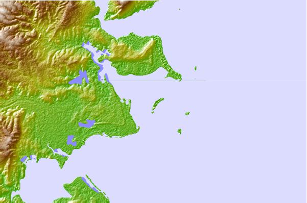
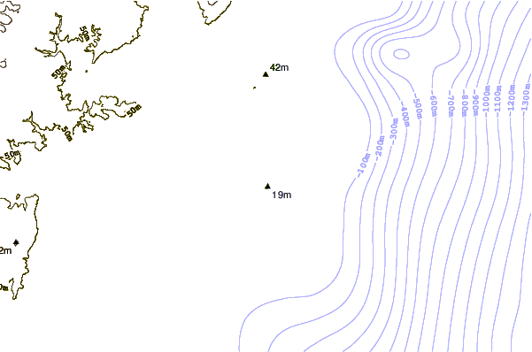
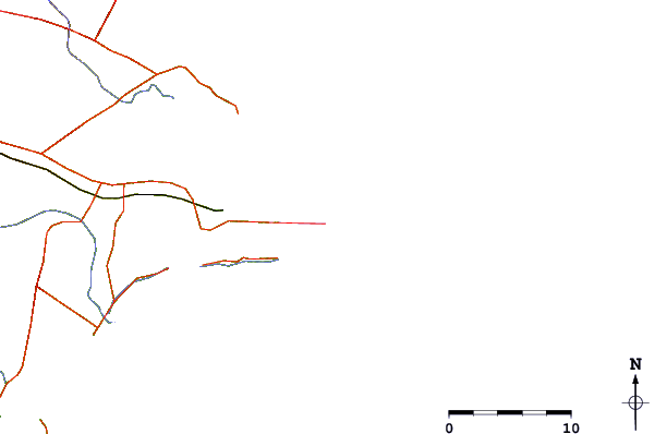
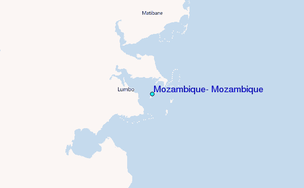
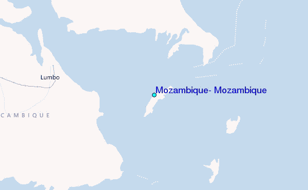
Use this relief map to navigate to tide stations, surf breaks and cities that are in the area of Mozambique, Mozambique.
Other Nearby Locations' tide tables and tide charts to Mozambique, Mozambique:
click location name for more details
 Surf breaks close to Mozambique, Mozambique:
|
||
|---|---|---|
| Closest surf break | Oyster Bay Beach - Coco Beach | 580 mi |
| Second closest surf break | Sea Cliff | 582 mi |
| Third closest surf break | Jam's Right | 584 mi |
| Fourth closest surf break | Behakio | 590 mi |
| Fifth closest surf break | La Gauche | 592 mi |


 Nearest
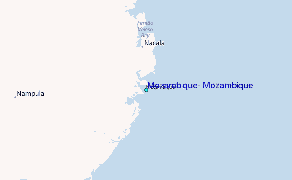