
| Distance / Altitude | Location | Report Date / Time | Live Weather | Wind | Gusts | Temp. | Visibility | Cloud |
|---|---|---|---|---|---|---|---|---|
| 4 km WSW / 277 m | Mtwara (Tanzania) | 2026-05-05 16:00 local (2026/05/05 13:00 GMT) | Dry and partly cloudy | light winds from the ESE (11 km/h at 110) | 30°C | 10.0 | scattered scattered - | |
| 300 km S / 446 m | Pemba Airport (Mozambique) | 2026-05-05 16:00 local (2026/05/05 13:00 GMT) | - | calm (0 km/h at 0) | 30°C | 10.0 | few | |
| 363 km ESE / 538 m | Prince Said Ibrahim International Airport/Moroni (Comoros) | 2026-05-05 16:00 local (2026/05/05 13:00 GMT) | Dry and partly cloudy | light winds from the SSW (19 km/h at 210) | 30°C | 10.0 | few broken | |
| 392 km NW / 376 m | Dar Es Salaam Airport (Tanzania) | 2026-05-05 15:00 local (2026/05/05 12:00 GMT) | Dry and partly cloudy | light winds from the S.(Wind varies from 140 to 220 degs) (13 km/h at 180) | 32°C | 10.0 | few scattered few | |
| 392 km NW / 376 m | Dar Es Salaam Airport (Tanzania) | 2026-05-05 16:00 local (2026/05/05 13:00 GMT) | Dry and partly cloudy | light winds from the S.(Wind varies from 130 to 620 degs) (15 km/h at 180) | 31°C | 10.0 | few scattered few | |
| 437 km SSW / 756 m | Marrupa (Mozambique) | 2026-05-05 15:00 local (2026/05/05 12:00 GMT) | no report | light winds from the SE (11 km/h at 130) | 27°C | 20 | - | |
| 461 km NW / 372 m | Zanzibar/Kisauni Airport (Tanzania) | 2026-05-05 16:00 local (2026/05/05 13:00 GMT) | - | light winds from the ESE (17 km/h at 120) | 30°C | 10.0 | few | |
| 475 km WNW / 365 m | Morogoro (Tanzania) | 2026-05-05 16:00 local (2026/05/05 13:00 GMT) | Dry and partly cloudy | wind obs. (7 kph from 30 degs) was rejected (- km/h at -) | 31°C | 10.0 | scattered - - | |
| 509 km WSW / 1062 m | Songea Airport (Tanzania) | 2026-05-05 16:00 local (2026/05/05 13:00 GMT) | Dry and partly cloudy | light winds from the E (9 km/h at 80) | 26°C | 10.0 | broken few | |
| 568 km W / 1483 m | Iringa Airport (Tanzania) | 2026-05-05 16:00 local (2026/05/05 13:00 GMT) | Dry and partly cloudy | light winds from the W (9 km/h at 270) | 24°C | 10.0 | broken few scattered |
| Contours: | Roads & Rivers: | Select a
tide station / surf break / city |
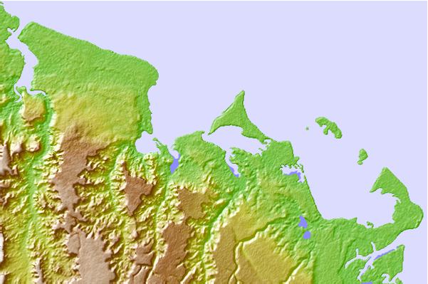
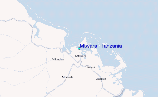
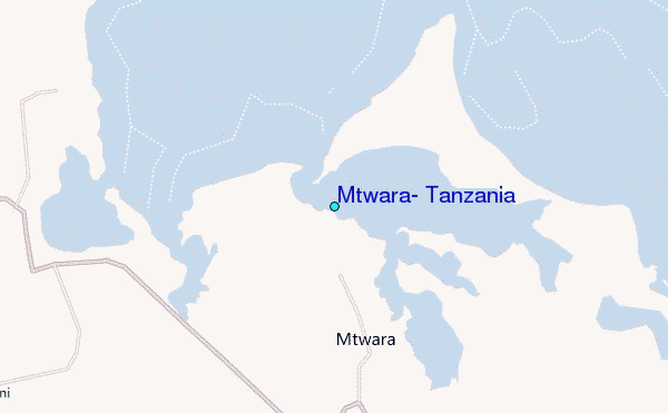
Use this relief map to navigate to tide stations, surf breaks and cities that are in the area of Mtwara, Tanzania.
Other Nearby Locations' tide tables and tide charts to Mtwara, Tanzania:
click location name for more details
 Surf breaks close to Mtwara, Tanzania:
|
||
|---|---|---|
| Closest surf break | Oyster Bay Beach - Coco Beach | 250 mi |
| Second closest surf break | Sea Cliff | 252 mi |
| Third closest surf break | Jam's Right | 254 mi |
| Fourth closest surf break | Nungwi Reefs | 320 mi |
| Fifth closest surf break | Mombasa Channel | 429 mi |


 Nearest
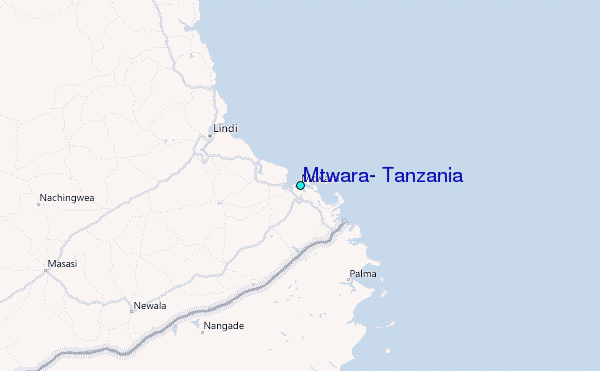