
| Distance / Altitude | Location | Report Date / Time | Live Weather | Wind | Gusts | Temp. | Visibility | Cloud |
|---|---|---|---|---|---|---|---|---|
| 2 km WNW / 217 m | Point Mugu Naval Air Station Airport (California) | 2026-03-05 00:55 local (2026/03/05 08:55 GMT) | Mist - | light winds from the NNW (7 km/h at 340) | 9°C | 6 | scattered scattered | |
| 13 km NNE / 216 m | Camarillo Airport (California) | 2026-03-05 01:43 local (2026/03/05 09:43 GMT) | Fog - | light winds from the NE (9 km/h at 40) | 12°C | 1 | ||
| 14 km WNW / 217 m | Oxnard Airport (California) | 2026-03-05 01:22 local (2026/03/05 09:22 GMT) | Dry and partly cloudy | light winds from the E (6 km/h at 80) | 11°C | 11 | scattered | |
| 25 km NE / 137.8 m | Moorpark-Home Acres (California) | 2026-03-05 02:01 local (2026/03/05 10:01 GMT) | dry | calm (0 km/h at 0) | 11°C | - | - - 0 | |
| 27 km ENE / 324 m | Thousand Oaks (California) | 2026-03-05 02:34 local (2026/03/05 10:34 GMT) | dry | wind obs. (8 kph from 71 degs) was rejected (- km/h at -) | 12°C | - | - - 0 | |
| 27 km ENE / 301 m | Westlake Village (California) | 2026-03-05 02:27 local (2026/03/05 10:27 GMT) | dry | calm (0 km/h at 292) | 8°C | - | - - 0 | |
| 29 km NE / 164.6 m | Moorpark-Downtown (California) | 2026-03-05 02:49 local (2026/03/05 10:49 GMT) | dry | calm (0 km/h at 0) | 9°C | - | - - 0 | |
| 31 km NE / 271 m | Moorpark (California) | 2026-03-05 02:39 local (2026/03/05 10:39 GMT) | dry | calm (0 km/h at 142) | 5°C | - | - - 0 | |
| 33 km NE / 236 m | Villa del Arroyo Mobile Home Estates wx (United States) | 2026-03-05 01:10 local (2026/03/05 09:10 GMT) | - | calm (5 km/h at 104) | 10°C | - | - - 0 | |
| 34 km ENE / 274 m | Simi Valley wx (United States) | 2026-03-05 02:00 local (2026/03/05 10:00 GMT) | - | calm (0 km/h at 59) | 12°C | - | - - 0 |
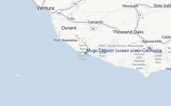
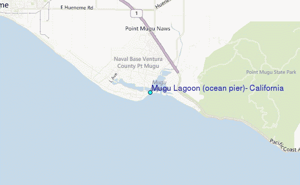
Choose Mugu Lagoon (ocean pier), California Location Map Zoom:
| Contours: | Roads & Rivers: | Select a
tide station / surf break / city |
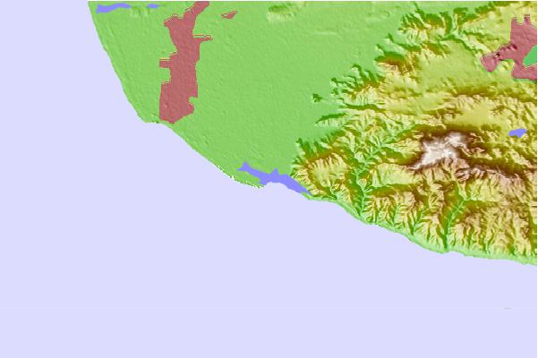
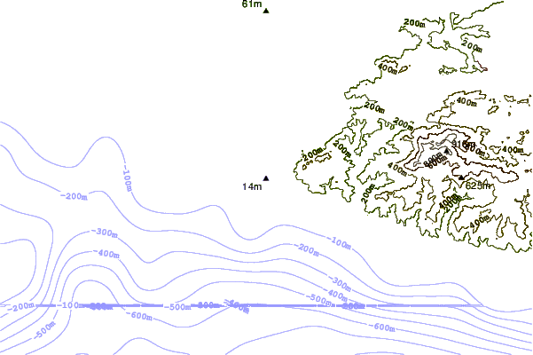
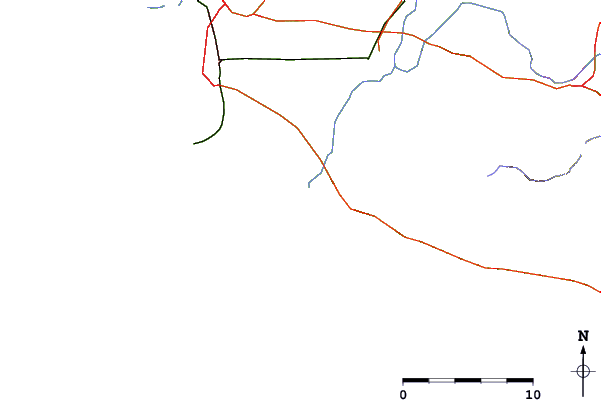
Use this relief map to navigate to tide stations, surf breaks and cities that are in the area of Mugu Lagoon (ocean pier), California.
Other Nearby Locations' tide tables and tide charts to Mugu Lagoon (ocean pier), California:
click location name for more details
 Surf breaks close to Mugu Lagoon (ocean pier), California:
|
||
|---|---|---|
| Closest surf break | Point Mugu | 1 mi |
| Second closest surf break | Murphy's | 2 mi |
| Third closest surf break | Super Tubes | 3 mi |
| Fourth closest surf break | Arnold | 4 mi |
| Fifth closest surf break | County Line | 6 mi |


 Nearest
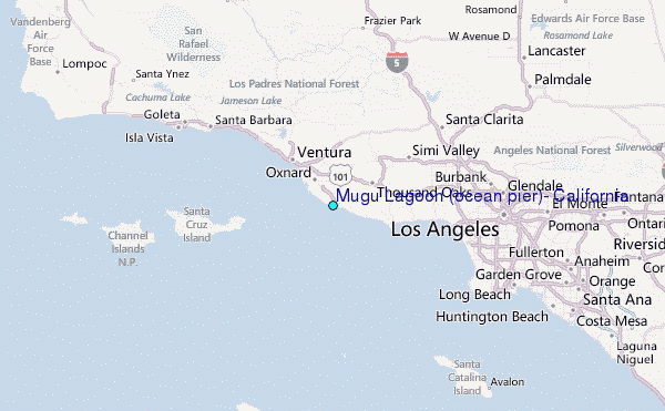