
| Distance / Altitude | Location | Report Date / Time | Live Weather | Wind | Gusts | Temp. | Visibility | Cloud |
|---|---|---|---|---|---|---|---|---|
| 105 km S / 353 m | Palembang/Sultan Mahmud Badaruddin II Airport (Indonesia) | 2024-04-26 09:30 local (2024/04/26 02:30 GMT) | - | wind obs. (6 kph from 240 degs) was rejected (- km/h at -) | 30°C | 10.0 | few | |
| 106 km E / 33 m | PangkalPinang (Indonesia) | 2024-04-26 10:00 local (2024/04/26 03:00 GMT) | - | light winds from the SE (6 km/h at 130) | 32°C | 30 km | mostly cloudy | |
| 107 km S / 10 m | PalembangSt.M.Badarudin II (Indonesia) | 2024-04-26 10:00 local (2024/04/26 03:00 GMT) | - | calm (4 km/h at 240) | 30°C | 30 km | scattered | |
| 177 km W / 25 m | JambiSultanTaha (Indonesia) | 2024-04-26 10:00 local (2024/04/26 03:00 GMT) | - | light winds from the S (6 km/h at 190) | 28°C | 30 km | mostly cloudy | |
| 188 km NW / 31 m | SingkepDabo (Indonesia) | 2024-04-26 10:00 local (2024/04/26 03:00 GMT) | State of sky unchanged | light winds from the WSW (6 km/h at 240) | 30°C | 27 km | mostly cloudy |
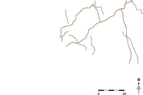
| Contours: | Roads & Rivers: | Select a
tide station / surf break / city |
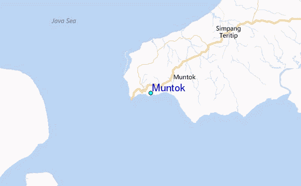
Use this relief map to navigate to tide stations, surf breaks and cities that are in the area of Muntok.
Other Nearby Locations' tide tables and tide charts to Muntok:
click location name for more details
 Surf breaks close to Muntok:
|
||
|---|---|---|
| Closest surf break | Jimmys | 228 mi |
| Second closest surf break | Pulau Pisang | 231 mi |
| Third closest surf break | Krui | 232 mi |
| Fourth closest surf break | Ujung Walur | 234 mi |
| Fifth closest surf break | Mandiri | 236 mi |

 Nearest
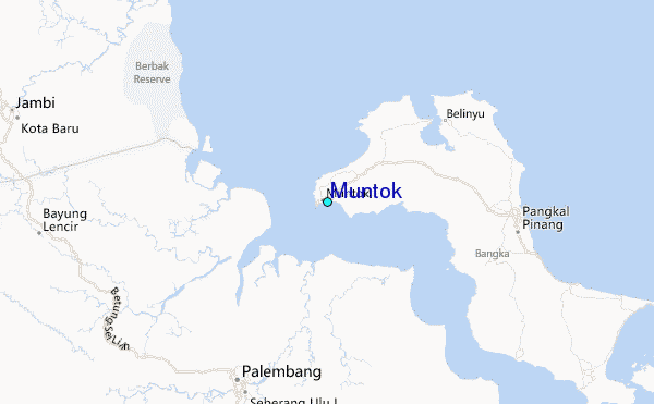