
| Distance / Altitude | Location | Report Date / Time | Live Weather | Wind | Gusts | Temp. | Visibility | Cloud |
|---|---|---|---|---|---|---|---|---|
| 4 km ESE / 125 m | Nacala Airport (Mozambique) | 2025-12-25 13:00 local (2025/12/25 11:00 GMT) | Dry and partly cloudy | fresh winds from the E (30 km/h at 80) | 30°C | 10.0 | few broken | |
| 167 km N / 446 m | Pemba Airport (Mozambique) | 2025-12-25 13:00 local (2025/12/25 11:00 GMT) | - | calm (0 km/h at 0) | 31°C | 10.0 | few few broken | |
| 167 km SW / 323 m | Nampula Airport (Mozambique) | 2025-12-25 13:00 local (2025/12/25 11:00 GMT) | Dry and partly cloudy | moderate winds from the N (26 km/h at 350) | 29°C | 10.0 | scattered scattered broken | |
| 468 km N / 277 m | Mtwara Airport (Tanzania) | 2025-12-25 12:00 local (2025/12/25 10:00 GMT) | Dry and partly cloudy | moderate winds from the N (22 km/h at 360) | 31°C | 10.0 | broken few - | |
| 529 km ENE / 411 m | Dzaoudzi/Pamanzi Airport (Comoros) | 2025-12-25 13:30 local (2025/12/25 11:30 GMT) | Dry and partly cloudy | light winds from the N.(Wind varies from 340 to 050 degs) (19 km/h at 10) | 30°C | 10.0 | few scattered | |
| 555 km SSW / 505 m | Quelimane (Mozambique) | 2025-12-25 13:00 local (2025/12/25 11:00 GMT) | Dry and partly cloudy | calm (0 km/h at 0) | 32°C | 10.0 | few broken broken | |
| 555 km SSW / 505 m | Quelimane Airport (Mozambique) | 2025-12-25 12:00 local (2025/12/25 10:00 GMT) | Dry and partly cloudy | calm (0 km/h at 0) | 31°C | 10.0 | broken broken | |
| 602 km W / 1359 m | Lichinga Airport (Mozambique) | 2025-12-25 12:00 local (2025/12/25 10:00 GMT) | Dry and partly cloudy | wind obs. (20 kph from 360 degs) was rejected (- km/h at -) | 23°C | 10.0 | broken broken | |
| 624 km ESE / 194 m | Majunga/Mahajanga Airport (Comoros) | 2025-12-25 13:00 local (2025/12/25 11:00 GMT) | - | moderate winds from the N (22 km/h at 350) | 32°C | 10.0 | few | |
| 629 km SW / 767 m | Chileka International Airport (Malawi) | 2025-12-25 13:00 local (2025/12/25 11:00 GMT) | Dry and partly cloudy | wind obs. (13 kph from 20 degs) was rejected (- km/h at -) | 29°C | 10.0 | few scattered broken |
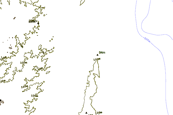
| Contours: | Roads & Rivers: | Select a
tide station / surf break / city |
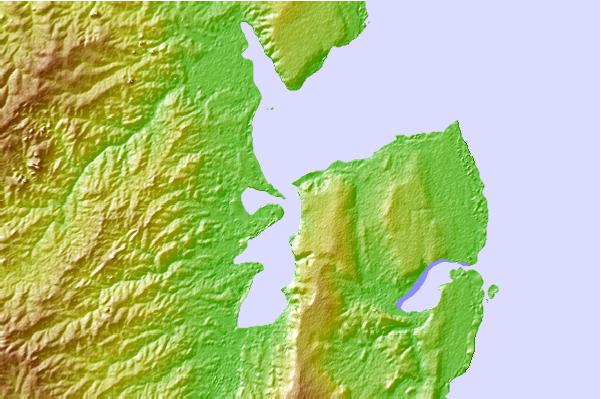

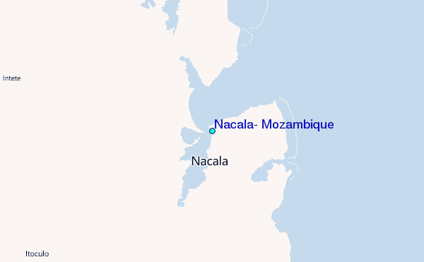
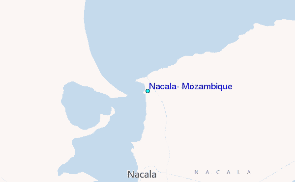
Use this relief map to navigate to tide stations, surf breaks and cities that are in the area of Nacala, Mozambique.
Other Nearby Locations' tide tables and tide charts to Nacala, Mozambique:
click location name for more details
 Surf breaks close to Nacala, Mozambique:
|
||
|---|---|---|
| Closest surf break | Oyster Bay Beach - Coco Beach | 541 mi |
| Second closest surf break | Sea Cliff | 543 mi |
| Third closest surf break | Jam's Right | 544 mi |
| Fourth closest surf break | Nungwi Reefs | 612 mi |
| Fifth closest surf break | Behakio | 629 mi |


 Nearest
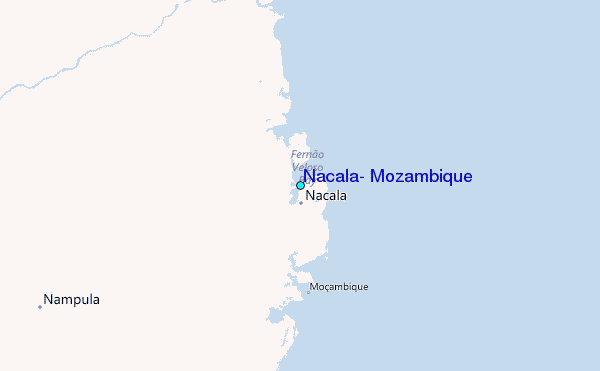