
| Distance / Altitude | Location | Report Date / Time | Live Weather | Wind | Gusts | Temp. | Visibility | Cloud |
|---|---|---|---|---|---|---|---|---|
| 18 km SE / 10 m | El Catey International Airport (Dominican republic) | 2026-06-26 19:00 local (2026/06/26 23:00 GMT) | Shower - in the vicinity | moderate winds from the E (22 km/h at 90) | 28°C | 8.0 | scattered | |
| 86 km W / 466 m | Puerto Plata IN Airport (Dominican Republic) | 2026-06-26 19:00 local (2026/06/26 23:00 GMT) | - | light winds from the E (15 km/h at 90) | 30°C | 10.0 | few | |
| 90 km WSW / 209 m | Santiago International Airport (Dominican Republic) | 2026-06-26 19:00 local (2026/06/26 23:00 GMT) | - | light winds from the ESE (11 km/h at 110) | 31°C | 10.0 | few | |
| 91 km S / 30 m | La Isabela International Airport (Dominican republic) | 2026-06-26 19:00 local (2026/06/26 23:00 GMT) | Dry and partly cloudy | light winds from the SSE (9 km/h at 150) | 31°C | 10.0 | scattered | |
| 99 km S / 41 m | Ensanche Savica de Mendoza wx (Dominican Republic) | 2026-06-26 20:13 local (2026/06/27 00:13 GMT) | dry | calm (0 km/h at 57) | 29°C | - | - - 0 | |
| 109 km S / 212 m | Punta Caucedo/Las Americas Airport (Dominican Republic) | 2026-06-26 19:00 local (2026/06/26 23:00 GMT) | Dry and partly cloudy | light winds from the SE (19 km/h at 130) | 29°C | 10.0 | scattered | |
| 127 km WSW / 64 m | Mao (Dominican Republic) | 2026-06-26 20:39 local (2026/06/27 00:39 GMT) | dry | light winds from the ESE (10 km/h at 103) | 29°C | - | - - 0 | |
| 143 km SE / 365 m | La Romana International Airport (Dominican Republic) | 2026-06-26 19:00 local (2026/06/26 23:00 GMT) | Dry and partly cloudy | moderate winds from the NE (22 km/h at 40) | 29°C | 10.0 | scattered | |
| 180 km ESE / 209 m | Punta Cana International Airport (Dominican Republic) | 2026-06-26 19:00 local (2026/06/26 23:00 GMT) | - | light winds from the NE (13 km/h at 50) | 29°C | 10.0 | few | |
| 186 km SSW / 360 m | Barahona Airport (Dominican Republic) | 2026-06-26 19:00 local (2026/06/26 23:00 GMT) | - | light winds from the SE (19 km/h at 130) | 31°C | 10.0 | few few scattered |
| Contours: | Roads & Rivers: | Select a
tide station / surf break / city |
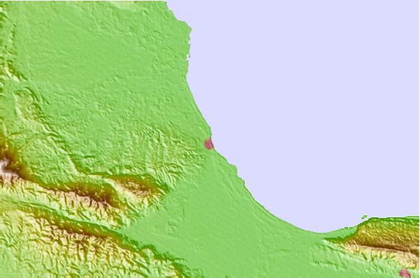


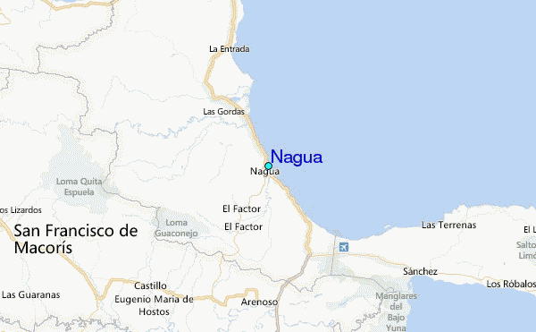
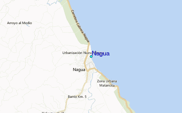
Use this relief map to navigate to tide stations, surf breaks and cities that are in the area of Nagua.
Other Nearby Locations' tide tables and tide charts to Nagua:
click location name for more details
 Surf breaks close to Nagua:
|
||
|---|---|---|
| Closest surf break | El Broke | 2 mi |
| Second closest surf break | El Coson | 21 mi |
| Third closest surf break | La Preciosa | 24 mi |
| Fourth closest surf break | La Punta | 24 mi |
| Fifth closest surf break | Playa Grande | 24 mi |


 Nearest
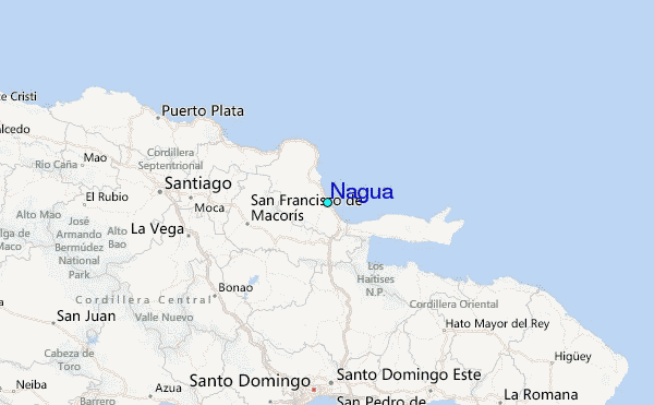