
| Distance / Altitude | Location | Report Date / Time | Live Weather | Wind | Gusts | Temp. | Visibility | Cloud |
|---|---|---|---|---|---|---|---|---|
| 24 km N / 3 m | BUOY-TOKW1 (Marine) | 2026-05-22 08:48 local (2026/05/22 15:48 GMT) | light winds from the NW (13 km/h at 320) | — | - | |||
| 32 km S / 3 m | Clatsop Spit- OR (Marine) | 2026-05-22 09:00 local (2026/05/22 16:00 GMT) | - (- km/h at -) | 12°C | - | |||
| 38 km SSE / 3 m | BUOY-ASTO3 (Marine) | 2026-05-22 08:48 local (2026/05/22 15:48 GMT) | calm (4 km/h at 340) | — | - | |||
| 40 km SSE / 218 m | Astoria Airport (Oregon) | 2026-05-22 07:55 local (2026/05/22 14:55 GMT) | Dry and cloudy | light winds from the NW (11 km/h at 320) | 12°C | 14 | overcast | |
| 43 km NW / 3 m | Grays Harbor- WA (Marine) | 2026-05-22 08:56 local (2026/05/22 15:56 GMT) | - (- km/h at -) | — | - | |||
| 45 km N / 3 m | BUOY-WPTW1 (Marine) | 2026-05-22 08:36 local (2026/05/22 15:36 GMT) | moderate winds from the NNW (21 km/h at 340) | 11°C | - | |||
| 52 km N / 215 m | Hoquiam Airport (Washington) | 2026-05-22 07:53 local (2026/05/22 14:53 GMT) | Dry and cloudy | light winds from the W (7 km/h at 270) | 12°C | 14 | overcast | |
| 54 km SSW / 3 m | Col River Bar Buoy (Marine) | 2026-05-22 08:50 local (2026/05/22 15:50 GMT) | moderate winds from the NNW (22 km/h at 340) | 13°C | - | |||
| 58 km SSW / - m | SHIP954 (ocean) | 2026-05-22 08:00 local (2026/05/22 15:00 GMT) | - | moderate winds from the NNW (25 km/h at 340) | 12°C | - | no observation | |
| 58 km SSW / - m | SHIP231 (ocean) | 2026-05-22 08:00 local (2026/05/22 15:00 GMT) | - | moderate winds from the NNW (25 km/h at 340) | 12°C | - | no observation |
| Contours: | Roads & Rivers: | Select a
tide station / surf break / city |
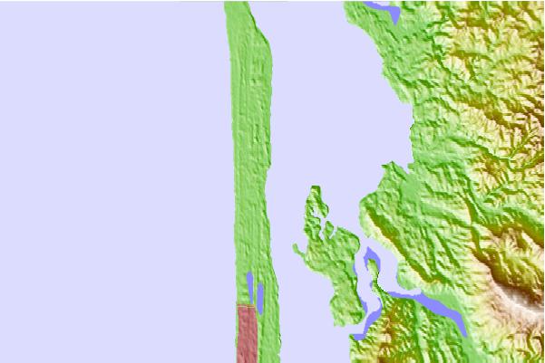
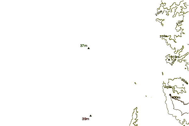
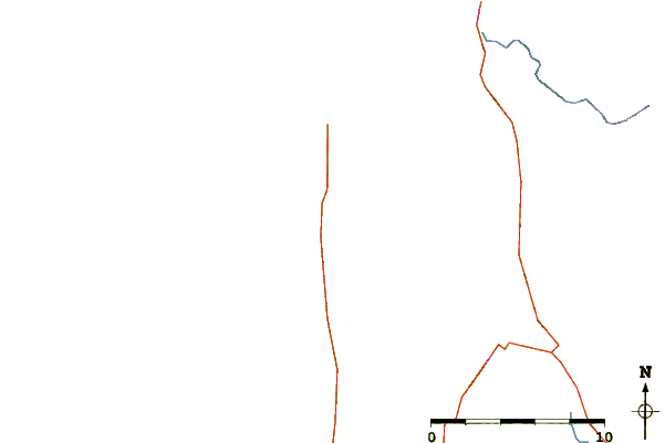
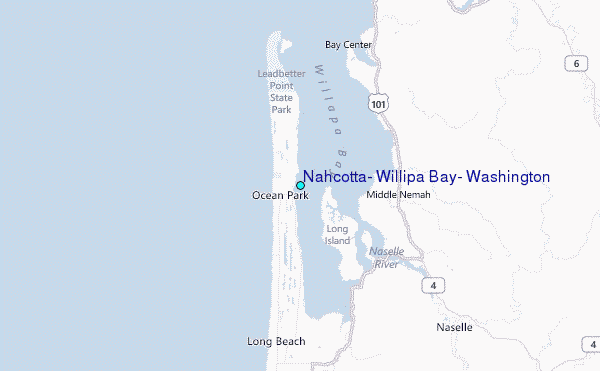
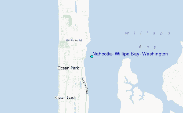
Use this relief map to navigate to tide stations, surf breaks and cities that are in the area of Nahcotta, Willipa Bay, Washington.
Other Nearby Locations' tide tables and tide charts to Nahcotta, Willipa Bay, Washington:
click location name for more details
 Surf breaks close to Nahcotta, Willipa Bay, Washington:
|
||
|---|---|---|
| Closest surf break | Ocean Park | 2 mi |
| Second closest surf break | Long Beach Peninsula | 5 mi |
| Third closest surf break | Turtles | 16 mi |
| Fourth closest surf break | Fort Canby A Jetty | 16 mi |
| Fifth closest surf break | Westport-The Corner | 25 mi |


 Nearest
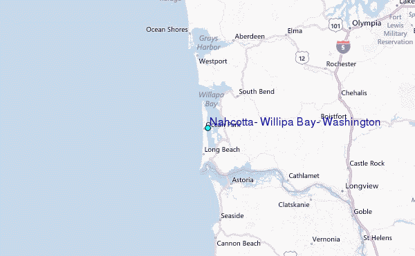