
| Distance / Altitude | Location | Report Date / Time | Live Weather | Wind | Gusts | Temp. | Visibility | Cloud |
|---|---|---|---|---|---|---|---|---|
| 184 km E / 330 m | LANDESOL (Spain) | 2026-04-09 21:00 local (2026/04/09 11:00 GMT) | - | wind obs. (0 kph from 354 degs) was rejected (- km/h at -) | — | - | - - 0 | |
| 272 km ESE / 211 m | Weno Island/Chuuk International Airport (Micronesia) | 2026-04-09 19:50 local (2026/04/09 09:50 GMT) | Light rain | light winds from the W (17 km/h at 270) | 27°C | 19 | scattered overcast | |
| 628 km NW / 15 m | SHIP3252 (Marine) | 2026-04-09 20:00 local (2026/04/09 10:00 GMT) | near gales from the ENE (51.84 km/h at 60) | — | 8.1 km | |||
| 647 km ESE / 15 m | ASCATB155E6N (Marine) | 2026-04-09 20:02 local (2026/04/09 10:02 GMT) | fresh winds from the S (36 km/h at 172) | — | - km | |||
| 678 km ESE / 15 m | ASCATB155E7N (Marine) | 2026-04-09 20:02 local (2026/04/09 10:02 GMT) | fresh winds from the SSE (35 km/h at 161) | — | - km | |||
| 625 km NW / 15 m | SHIP5883 (Marine) | 2026-04-09 20:00 local (2026/04/09 10:00 GMT) | near gales from the ENE (51.84 km/h at 60) | — | 8.1 km | |||
| 647 km ESE / 15 m | ASCATB155E6N (Marine) | 2026-04-09 20:02 local (2026/04/09 10:02 GMT) | fresh winds from the S (36 km/h at 172) | — | - km | |||
| 678 km ESE / 15 m | ASCATB155E7N (Marine) | 2026-04-09 20:02 local (2026/04/09 10:02 GMT) | fresh winds from the SSE (35 km/h at 161) | — | - km | |||
| 686 km ESE / 15 m | ASCATC155E6N (Marine) | 2026-04-09 20:35 local (2026/04/09 10:35 GMT) | fresh winds from the S (31 km/h at 172) | — | - km | |||
| 693 km ESE / 15 m | ASCATC155E5N (Marine) | 2026-04-09 20:35 local (2026/04/09 10:35 GMT) | moderate winds from the S (27 km/h at 175) | — | - km |
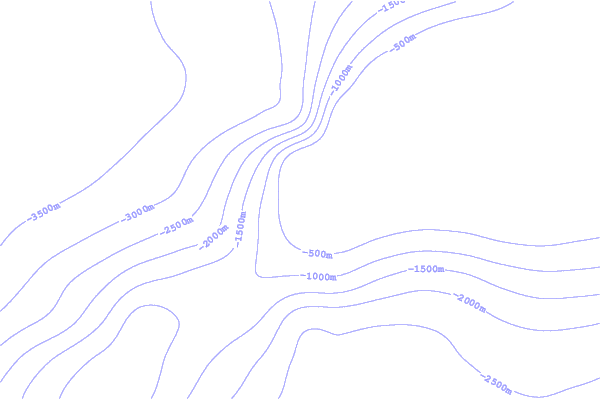
| Contours: | Roads & Rivers: | Select a
tide station / surf break / city |
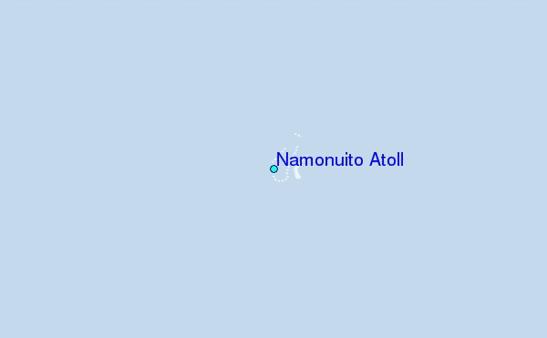
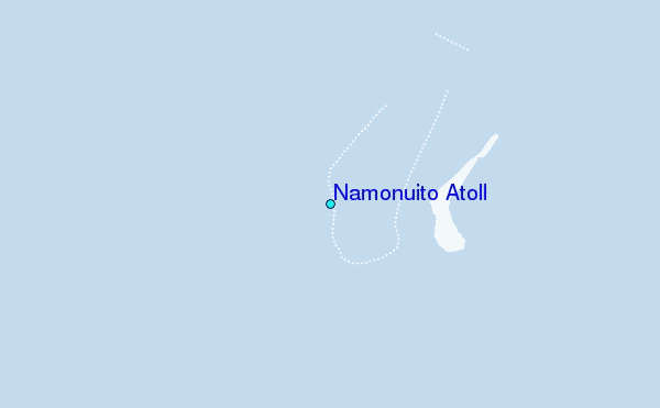
Use this relief map to navigate to tide stations, surf breaks and cities that are in the area of Namonuito Atoll.
Other Nearby Locations' tide tables and tide charts to Namonuito Atoll:
click location name for more details
 Surf breaks close to Namonuito Atoll:
|
||
|---|---|---|
| Closest surf break | Talofofo/The Bay | 466 mi |
| Second closest surf break | Pickop's Point | 467 mi |
| Third closest surf break | Threes | 468 mi |
| Fourth closest surf break | Tubeys/Point Death | 469 mi |
| Fifth closest surf break | Ylig | 469 mi |


 Nearest