
| Distance / Altitude | Location | Report Date / Time | Live Weather | Wind | Gusts | Temp. | Visibility | Cloud |
|---|---|---|---|---|---|---|---|---|
| 2 km NE / 1 m | Napo‘opo‘o wx (United States) | 2025-12-24 22:06 local (2025/12/25 08:06 GMT) | dry | calm (0 km/h at 162) | 20°C | - | - - 0 | |
| 16 km NW / 165 m | Kailua Kona (Hawaii) | 2025-12-24 22:42 local (2025/12/25 08:42 GMT) | dry | calm (0 km/h at 215) | 22°C | - | - - 0 | |
| 18 km SSE / 473 m | Captain Cook (Hawaii) | 2025-12-24 21:07 local (2025/12/25 07:07 GMT) | - | calm (3 km/h at 102) | — | - | - - 0 | |
| 27 km NW / 301 m | Palani Junction wx (United States) | 2025-12-24 22:19 local (2025/12/25 08:19 GMT) | dry | calm (0 km/h at 292) | 19°C | - | - - 0 | |
| 28 km N / 2229 m | Kipahee wx (United States) | 2025-12-24 22:35 local (2025/12/25 08:35 GMT) | dry | calm (2 km/h at 309) | 13°C | - | - - 0 | |
| 33 km NW / 217 m | Kailua/Kona Airport (Hawaii) | 2025-12-24 20:53 local (2025/12/25 06:53 GMT) | Dry and partly cloudy | wind obs. (7 kph from 20 degs) was rejected (- km/h at -) | 23°C | 16 | broken | |
| 56 km ENE / 1977 m | Pua‘ākala wx (United States) | 2025-12-24 22:16 local (2025/12/25 08:16 GMT) | dry | light winds from the - (13 km/h at ) | 6°C | - | - - 0 | |
| 64 km N / 3 m | BUOY-KWHH1 (Marine) | 2025-12-24 22:00 local (2025/12/25 08:00 GMT) | calm (4 km/h at 120) | 24°C | - | |||
| 67 km NNE / 795 m | Waiaka wx (United States) | 2025-12-24 22:16 local (2025/12/25 08:16 GMT) | dry | light winds from the E (10 km/h at 97) | 16°C | - | - - 0 | |
| 81 km NNE / 188 m | Kapulena wx (United States) | 2025-12-24 21:37 local (2025/12/25 07:37 GMT) | dry | calm (5 km/h at 119) | 19°C | - | - - 0 |
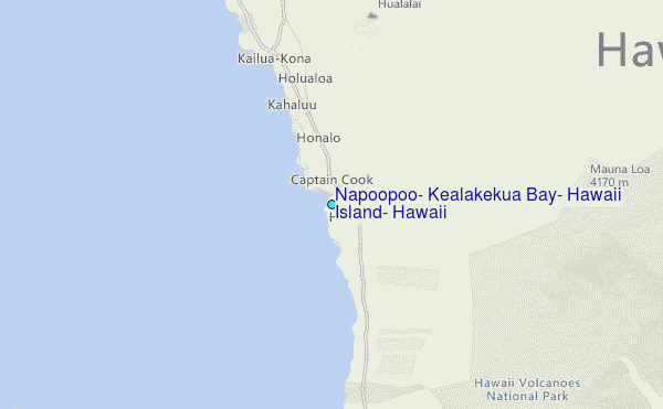
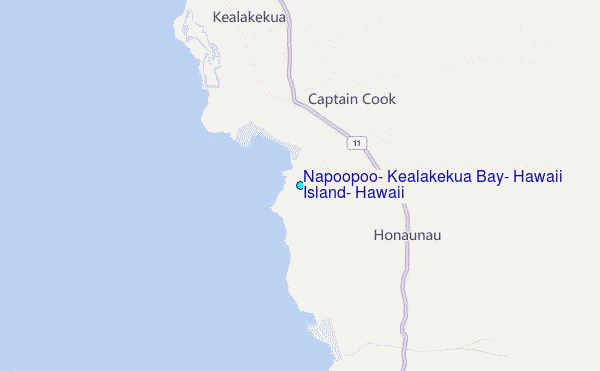
Choose Napoopoo, Kealakekua Bay, Hawaii Island, Hawaii Location Map Zoom:
| Contours: | Roads & Rivers: | Select a
tide station / surf break / city |
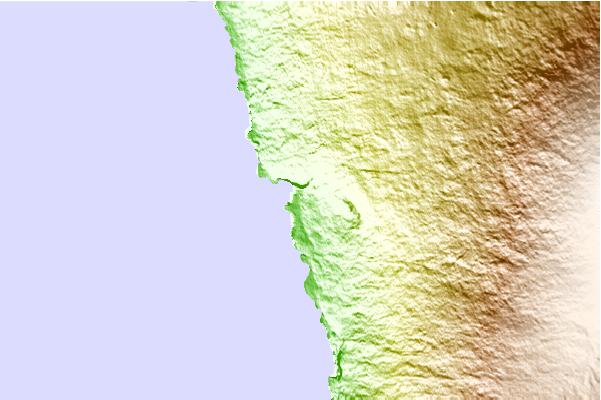
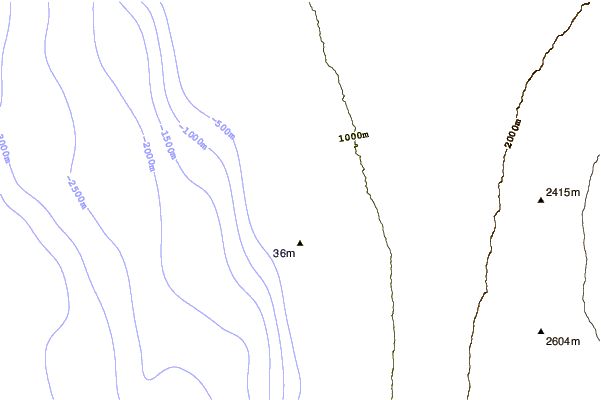
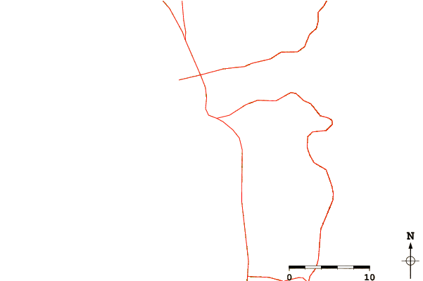
Use this relief map to navigate to tide stations, surf breaks and cities that are in the area of Napoopoo, Kealakekua Bay, Hawaii Island, Hawaii.
Other Nearby Locations' tide tables and tide charts to Napoopoo, Kealakekua Bay, Hawaii Island, Hawaii:
click location name for more details
 Surf breaks close to Napoopoo, Kealakekua Bay, Hawaii Island, Hawaii:
|
||
|---|---|---|
| Closest surf break | Manini Beach | 1 mi |
| Second closest surf break | Palemano Point | 1 mi |
| Third closest surf break | Kahalu'u Beach Park | 8 mi |
| Fourth closest surf break | Kahalu'u | 9 mi |
| Fifth closest surf break | Disappearing Sands | 9 mi |


 Nearest
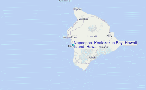