
| Distance / Altitude | Location | Report Date / Time | Live Weather | Wind | Gusts | Temp. | Visibility | Cloud |
|---|---|---|---|---|---|---|---|---|
| 5 km NW / 9 m | Fernandina Beach (Florida) | 2026-07-27 20:11 local (2026/07/28 00:11 GMT) | dry | calm (0 km/h at 131) | 29°C | - | - - 0 | |
| 7 km NE / 5 m | Fernandina Beach Airport (Florida) (Florida) | 2026-07-27 19:35 local (2026/07/27 23:35 GMT) | Clear | light winds from the SSE (11 km/h at 160) | 29°C | 16 | ||
| 10 km SSW / 10 m | Dunn Creek wx (United States) | 2026-07-27 20:12 local (2026/07/28 00:12 GMT) | dry | calm (0 km/h at 141) | 31°C | - | - - 0 | |
| 13 km NE / 5 m | Fernandina Beach wx (United States) | 2026-07-27 20:39 local (2026/07/28 00:39 GMT) | dry | wind obs. (6 kph from 181 degs) was rejected (- km/h at -) | 29°C | - | - - 0 | |
| 13 km NNE / 3 m | BUOY-FRDF1 (Marine) | 2026-07-27 20:00 local (2026/07/28 00:00 GMT) | light winds from the SSE (8 km/h at 150) | 29°C | - | |||
| 18 km SW / 218 m | Jacksonville Airport (Florida) | 2026-07-27 18:56 local (2026/07/27 22:56 GMT) | Dry and partly cloudy | light winds from the ESE (15 km/h at 110) | 33°C | 16 | few scattered | |
| 20 km SSE / 3 m | BUOY-MYPF1 (Marine) | 2026-07-27 20:00 local (2026/07/28 00:00 GMT) | calm (5 km/h at 150) | 29°C | - | |||
| 20 km S / 3 m | BUOY-BLIF1 (Marine) | 2026-07-27 20:00 local (2026/07/28 00:00 GMT) | light winds from the SE (9 km/h at 130) | 32°C | 10.9 | |||
| 20 km S / 3 m | BUOY-DMSF1 (Marine) | 2026-07-27 20:00 local (2026/07/28 00:00 GMT) | - (- km/h at -) | — | - | |||
| 21 km S / 28 m | Jacksonville (Florida) | 2026-07-27 20:34 local (2026/07/28 00:34 GMT) | dry | calm (3 km/h at 147) | 31°C | - | - - 0 |
| Contours: | Roads & Rivers: | Select a
tide station / surf break / city |
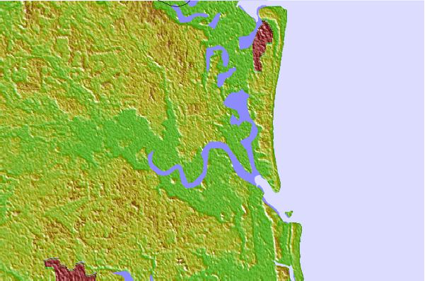

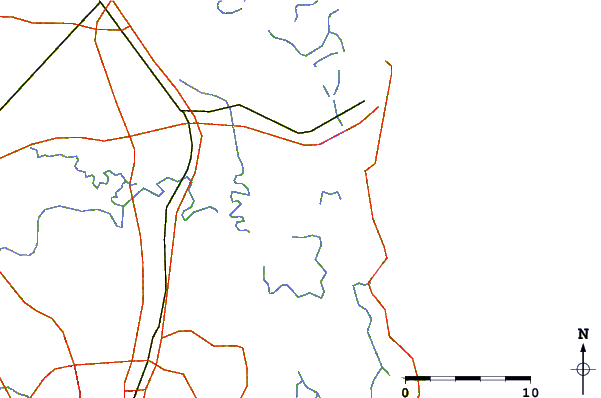
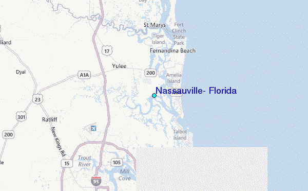
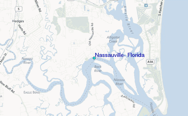
Use this relief map to navigate to tide stations, surf breaks and cities that are in the area of Nassauville, Florida.
Other Nearby Locations' tide tables and tide charts to Nassauville, Florida:
click location name for more details
 Surf breaks close to Nassauville, Florida:
|
||
|---|---|---|
| Closest surf break | Fernandina Beach Pier | 8 mi |
| Second closest surf break | Fernandina Pier | 9 mi |
| Third closest surf break | Main Beach | 9 mi |
| Fourth closest surf break | Hooks | 10 mi |
| Fifth closest surf break | Little Talbot Island | 10 mi |


 Nearest
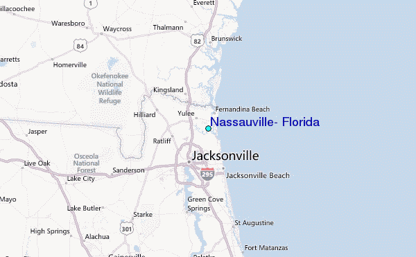