
| Distance / Altitude | Location | Report Date / Time | Live Weather | Wind | Gusts | Temp. | Visibility | Cloud |
|---|---|---|---|---|---|---|---|---|
| 58 km ENE / 96 m | Catbalogan-Samar (Philippines) | 2026-03-12 08:00 local (2026/03/12 00:00 GMT) | state of sky unchanged | calm (4 km/h at 140) | 29°C | 22 | - - - | |
| 113 km E / 95 m | Borongan (Philippines) | 2026-03-12 08:00 local (2026/03/12 00:00 GMT) | haze | calm (4 km/h at 40) | 29°C | 18 | - | |
| 122 km WNW / 35 m | Masbate (Philippines) | 2026-03-12 08:00 local (2026/03/12 00:00 GMT) | state of sky unchanged | wind obs. (7 kph from 110 degs) was rejected (- km/h at -) | 30°C | 20 | - | |
| 123 km WNW / 210 m | Macatan Airport (Philippines) | 2026-03-12 08:00 local (2026/03/12 00:00 GMT) | intermittent light rain | wind obs. (14 kph from 240 degs) was rejected (- km/h at -) | 28°C | 9 | broken - - | |
| 157 km ESE / 214 m | Guiuan (Samar Island) (Philippines) | 2026-03-12 08:00 local (2026/03/12 00:00 GMT) | distant precipitation but not falling at station | - (- km/h at -) | 28°C | 18 | - - - | |
| 165 km SSE / 212 m | Maasin (Philippines) | 2026-03-12 08:00 local (2026/03/12 00:00 GMT) | distant precipitation but not falling at station | - (- km/h at -) | 29°C | 22 | - - - | |
| 180 km WSW / 2 m | Roxas (Philippines) | 2026-03-12 08:00 local (2026/03/12 00:00 GMT) | light rain showers | wind obs. (11 kph from 180 degs) was rejected (- km/h at -) | 28°C | 9 | - | |
| 190 km NW / 15 m | Legaspi (Philippines) | 2026-03-12 08:00 local (2026/03/12 00:00 GMT) | state of sky unchanged | - (- km/h at -) | 28°C | 18 | - | |
| 215 km WSW / 80 m | Dalipdip wx (Philippines) | 2026-03-12 08:25 local (2026/03/12 00:25 GMT) | dry | light winds from the NNE (8 km/h at 26) | 25°C | - | - - 0 | |
| 222 km WSW / 6 m | Kalibo/panay Isl (Philippines) | 2026-03-12 08:00 local (2026/03/12 00:00 GMT) | Dry and partly cloudy | light winds from the ENE (13 km/h at 60) | 27°C | 10.0 | scattered broken |
| Contours: | Roads & Rivers: | Select a
tide station / surf break / city |
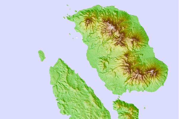
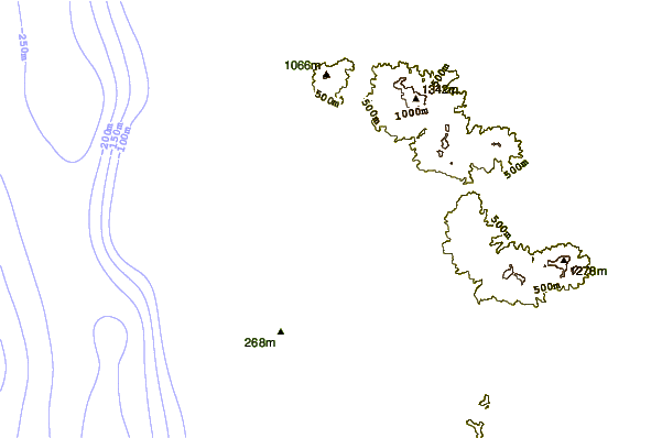
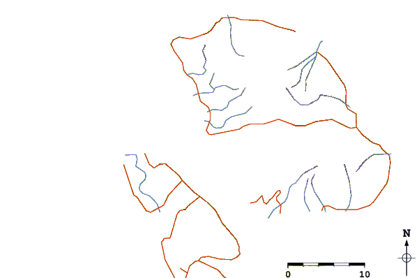
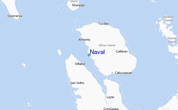
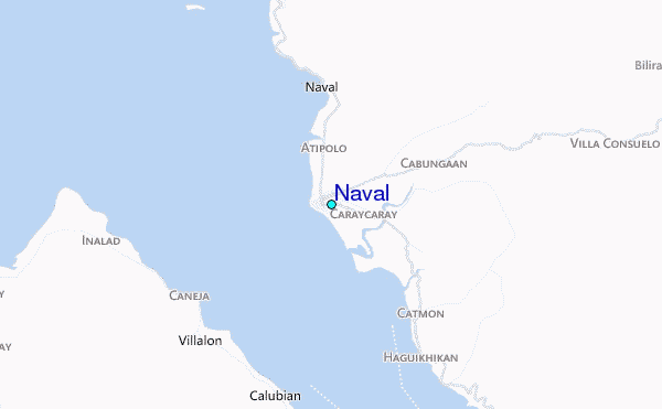
Use this relief map to navigate to tide stations, surf breaks and cities that are in the area of Naval.
Other Nearby Locations' tide tables and tide charts to Naval:
click location name for more details
 Surf breaks close to Naval:
|
||
|---|---|---|
| Closest surf break | Boulevard | 70 mi |
| Second closest surf break | Pirates Cove | 71 mi |
| Third closest surf break | Guitagican Beach | 73 mi |
| Fourth closest surf break | Santa Monica | 75 mi |
| Fifth closest surf break | Llorente | 79 mi |


 Nearest
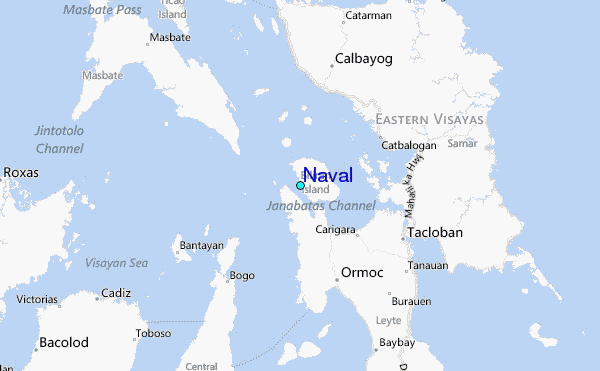