
| Distance / Altitude | Location | Report Date / Time | Live Weather | Wind | Gusts | Temp. | Visibility | Cloud |
|---|---|---|---|---|---|---|---|---|
| 88 km NNE / 129 m | El Verano wx (Argentina) | 2025-12-25 05:01 local (2025/12/25 08:01 GMT) | dry | calm (3 km/h at 158) | 21°C | - | - - 0 | |
| 126 km NE / 196 m | Mar Del Plata AR Airport (Argentina) | 2025-12-25 04:00 local (2025/12/25 07:00 GMT) | Dry and partly cloudy | light winds from the NW (6 km/h at 320) | — | 0.0 | no significant cloud - - | |
| 231 km WNW / 157 m | Olavarría wx (Argentina) | 2025-12-25 04:49 local (2025/12/25 07:49 GMT) | dry | light winds from the NE (6 km/h at 54) | 14°C | - | - - 0 | |
| 236 km W / 250 m | Coronel Pringles (Argentina) | 2025-12-25 05:29 local (2025/12/25 08:29 GMT) | dry | light winds from the WNW (6 km/h at 284) | 11°C | - | - - 0 | |
| 282 km N / 38 m | Las Flores (Argentina) | 2025-12-25 03:00 local (2025/12/25 06:00 GMT) | - | wind obs. (7 kph from 180 degs) was rejected (- km/h at -) | — | 15 | - - - | |
| 282 km S / 3 m | SHIP4730 (Marine) | 2025-12-25 03:00 local (2025/12/25 06:00 GMT) | light winds from the SSE (8 km/h at 160) | 15°C | - | |||
| 282 km S / 15 m | SHIP4837 (Marine) | 2025-12-25 03:00 local (2025/12/25 06:00 GMT) | light winds from the SSE (7.5600000000000005 km/h at 160) | 20°C | - km | |||
| 282 km S / 3 m | SHIP8332 (Marine) | 2025-12-25 03:00 local (2025/12/25 06:00 GMT) | light winds from the SSE (8 km/h at 160) | 15°C | - | |||
| 282 km S / 15 m | SHIP9085 (Marine) | 2025-12-25 03:00 local (2025/12/25 06:00 GMT) | light winds from the SSE (7.5600000000000005 km/h at 160) | 20°C | - km | |||
| 282 km S / 3 m | SHIP7342 (Marine) | 2025-12-25 03:00 local (2025/12/25 06:00 GMT) | light winds from the SSE (8 km/h at 160) | 15°C | - |
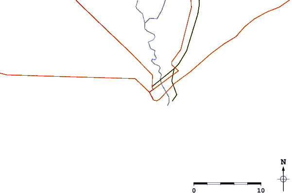
| Contours: | Roads & Rivers: | Select a
tide station / surf break / city |
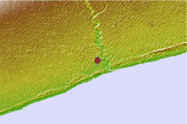
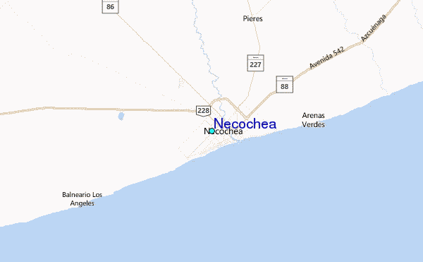
Use this relief map to navigate to tide stations, surf breaks and cities that are in the area of Necochea.
Other Nearby Locations' tide tables and tide charts to Necochea:
click location name for more details
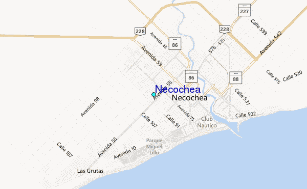
 Surf breaks close to Necochea:
|
||
|---|---|---|
| Closest surf break | Escollera Necochea | 3 mi |
| Second closest surf break | La Virazon | 4 mi |
| Third closest surf break | Quequen | 4 mi |
| Fourth closest surf break | Cueva del Tigre | 16 mi |
| Fifth closest surf break | El Remanso | 45 mi |


 Nearest
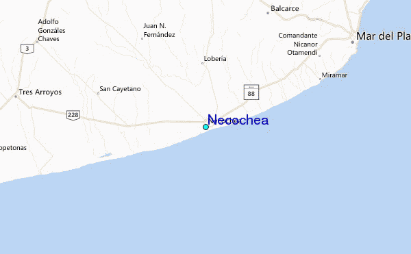