
| Distance / Altitude | Location | Report Date / Time | Live Weather | Wind | Gusts | Temp. | Visibility | Cloud |
|---|---|---|---|---|---|---|---|---|
| 8 km NNE / 70 m | Lupepau u (Tonga) | 2026-02-20 13:00 local (2026/02/20 00:00 GMT) | Rain showers | light winds from the S (7 km/h at 170) | 29°C | 20 km | - mostly cloudy - | |
| 134 km S / 3 m | Haapai Lifuka (Tonga) | 2026-02-20 13:00 local (2026/02/20 00:00 GMT) | State of sky unchanged | light winds from the SE (13 km/h at 130) | 31°C | 20 km | - few - | |
| 134 km S / 3 m | Ha'apai Lifuka Island (Tonga) | 2026-02-20 13:00 local (2026/02/20 00:00 GMT) | State of sky unchanged | light winds from the SE (13 km/h at 130) | 31°C | 20 km | - few - | |
| 301 km N / 3 m | Keppel/Mata aho Airport (Tonga) | 2026-02-20 13:00 local (2026/02/20 00:00 GMT) | Clouds developing | wind obs. (9 kph from 170 degs) was rejected (- km/h at -) | 30°C | 20 km | - mostly cloudy - | |
| 312 km S / 200 m | Fua Amotu Tonga Airport (Tonga) | 2026-02-20 12:00 local (2026/02/19 23:00 GMT) | Dry and partly cloudy | light winds from the S (11 km/h at 170) | 30°C | 10.0 | scattered | |
| 311 km S / 41 m | Fuaamotu (Tonga) | 2026-02-20 13:00 local (2026/02/20 00:00 GMT) | - | wind obs. (13 kph from 160 degs) was rejected (- km/h at -) | — | 20 | - scattered - | |
| 430 km NW / 3 m | SHIP6615 (Marine) | 2026-02-20 11:00 local (2026/02/19 22:00 GMT) | - (- km/h at -) | 30°C | - | |||
| 430 km NW / 15 m | SHIP3074 (Marine) | 2026-02-20 11:00 local (2026/02/19 22:00 GMT) | - (- km/h at -) | — | - km | |||
| 430 km NW / 3 m | SHIP4046 (Marine) | 2026-02-20 11:00 local (2026/02/19 22:00 GMT) | - (- km/h at -) | 30°C | - | |||
| 430 km NW / 15 m | SHIP7228 (Marine) | 2026-02-20 11:00 local (2026/02/19 22:00 GMT) | - (- km/h at -) | — | - km |
| Contours: | Roads & Rivers: | Select a
tide station / surf break / city |
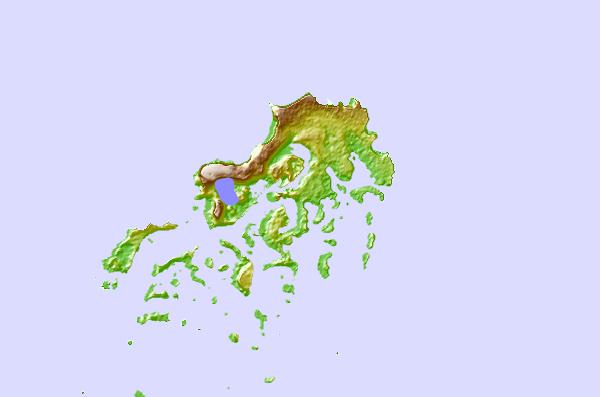
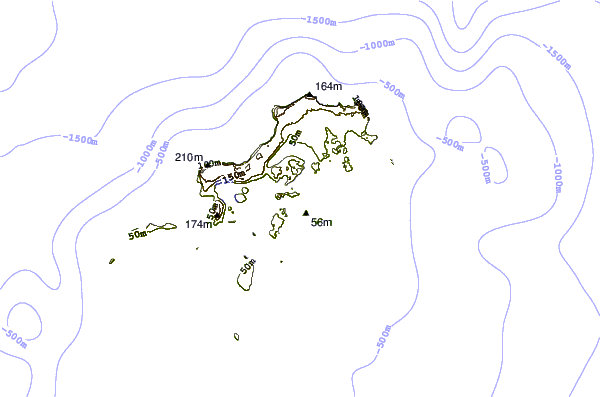
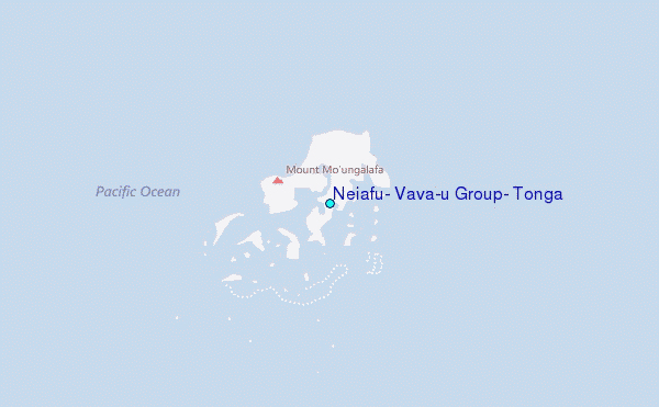
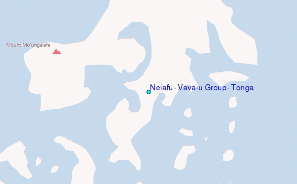
Use this relief map to navigate to tide stations, surf breaks and cities that are in the area of Neiafu, Vava`u Group, Tonga.
Other Nearby Locations' tide tables and tide charts to Neiafu, Vava`u Group, Tonga:
click location name for more details
 Surf breaks close to Neiafu, Vava`u Group, Tonga:
|
||
|---|---|---|
| Closest surf break | Middles (Ovaka) | 11 mi |
| Second closest surf break | Tommas (Ovaka) | 11 mi |
| Third closest surf break | Pass (Ovaka) | 11 mi |
| Fourth closest surf break | Good from afar (Foelifuka) | 12 mi |
| Fifth closest surf break | Bowling left | 13 mi |


 Nearest