
| Distance / Altitude | Location | Report Date / Time | Live Weather | Wind | Gusts | Temp. | Visibility | Cloud |
|---|---|---|---|---|---|---|---|---|
| 11 km S / 3 m | BUOY-CXHN6 (Marine) | 2025-12-25 18:42 local (2025/12/25 23:42 GMT) | light winds from the NNW (15 km/h at 340) | — | - | |||
| 11 km NE / 62 m | South Schodack wx (United States) | 2025-12-25 18:28 local (2025/12/25 23:28 GMT) | - | calm (3 km/h at 360) | -3°C | - | - - 0 | |
| 16 km N / 49 m | Glenmont (New York) | 2025-12-25 19:02 local (2025/12/26 00:02 GMT) | - | light winds from the WNW (6 km/h at 297) | -4°C | - | - - 0 | |
| 18 km ESE / 133 m | Chatham (New York) | 2025-12-25 19:00 local (2025/12/26 00:00 GMT) | - | wind obs. (6 kph from 17 degs) was rejected (- km/h at -) | -3°C | - | - - 0 | |
| 21 km N / 60 m | Albany (New York) | 2025-12-25 19:12 local (2025/12/26 00:12 GMT) | - | wind obs. (6 kph from 35 degs) was rejected (- km/h at -) | -4°C | - | - - 0 | |
| 23 km SW / 193 m | Freehold wx (United States) | 2025-12-25 19:04 local (2025/12/26 00:04 GMT) | - | wind obs. (6 kph from 240 degs) was rejected (- km/h at -) | -5°C | - | - - 0 | |
| 23 km S / 60 m | Hamburg wx (United States) | 2025-12-25 18:32 local (2025/12/25 23:32 GMT) | - | wind obs. (6 kph from 211 degs) was rejected (- km/h at -) | -3°C | - | - - 0 | |
| 23 km SW / 179 m | Freehold wx (United States) | 2025-12-25 17:10 local (2025/12/25 22:10 GMT) | - | calm (5 km/h at 69) | -4°C | - | - - 0 | |
| 23 km N / 68 m | Albany (New York) | 2025-12-25 18:11 local (2025/12/25 23:11 GMT) | - | wind obs. (19 kph from 15 degs) was rejected (- km/h at -) | -3°C | - | - - 0 | |
| 24 km N / 73 m | Albany (New York) | 2025-12-25 18:08 local (2025/12/25 23:08 GMT) | - | light winds from the N (10 km/h at 351) | -3°C | - | - - 0 |
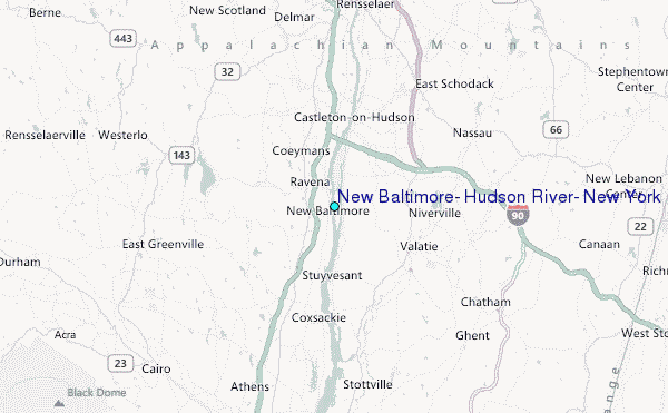
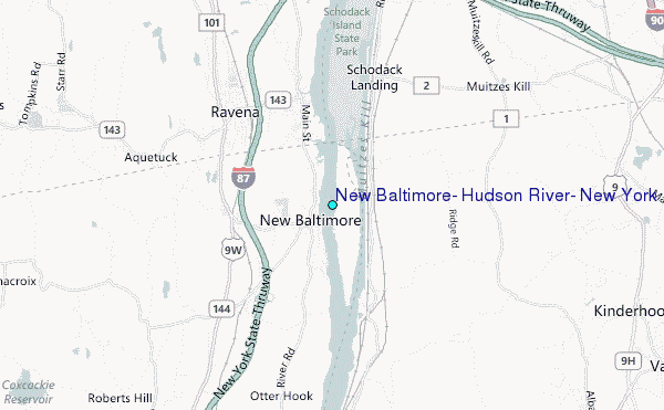
Choose New Baltimore, Hudson River, New York Location Map Zoom:
| Contours: | Roads & Rivers: | Select a
tide station / surf break / city |
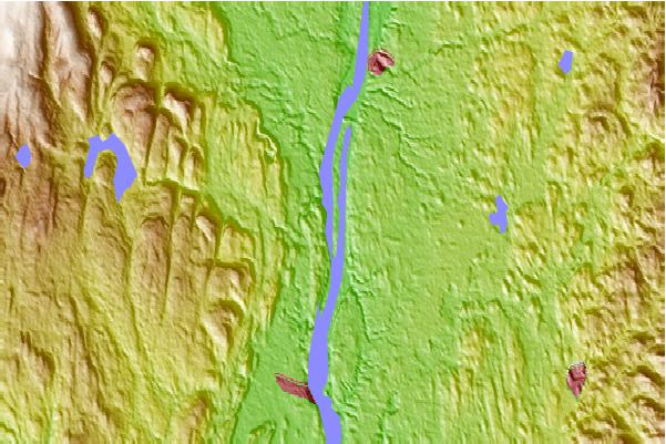
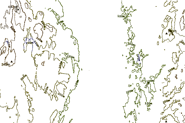
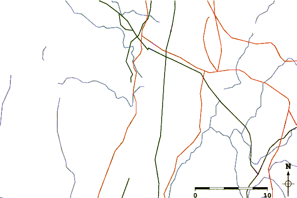
Use this relief map to navigate to tide stations, surf breaks and cities that are in the area of New Baltimore, Hudson River, New York.
Other Nearby Locations' tide tables and tide charts to New Baltimore, Hudson River, New York:
click location name for more details
 Surf breaks close to New Baltimore, Hudson River, New York:
|
||
|---|---|---|
| Closest surf break | Breachway | 126 mi |
| Second closest surf break | Napatree Jetty | 126 mi |
| Third closest surf break | East Beach Lighthouse | 127 mi |
| Fourth closest surf break | Coastguards | 128 mi |
| Fifth closest surf break | Fire Island | 128 mi |


 Nearest
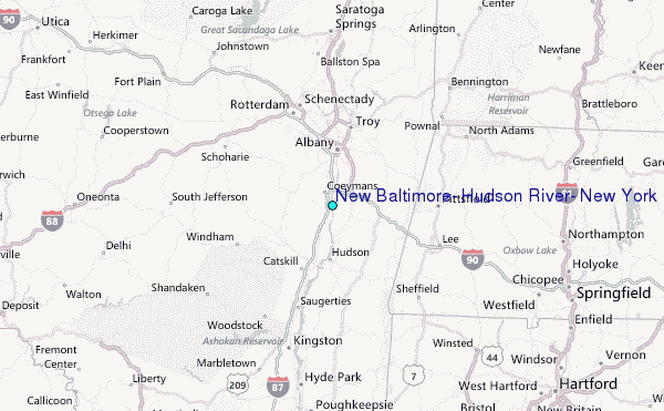