
| Distance / Altitude | Location | Report Date / Time | Live Weather | Wind | Gusts | Temp. | Visibility | Cloud |
|---|---|---|---|---|---|---|---|---|
| 8 km NE / 218 m | Poughkeepsie Airport (New York) | 2025-12-25 09:53 local (2025/12/25 14:53 GMT) | Dry and cloudy | light winds from the WSW (13 km/h at 240) | 2°C | 16 | overcast | |
| 10 km E / 537 m | Hopewell Junction (New York) | 2025-12-25 11:10 local (2025/12/25 16:10 GMT) | dry | calm (0 km/h at 315) | 6°C | - | - - 0 | |
| 11 km SW / 140 m | Newburgh (New York) | 2025-12-25 11:00 local (2025/12/25 16:00 GMT) | dry | calm (5 km/h at 166) | 4°C | - | - - 0 | |
| 12 km SE / 389 m | Cold Spring (New York) | 2025-12-25 10:07 local (2025/12/25 15:07 GMT) | - | light winds from the WSW (6 km/h at 247) | 1°C | - | - - 0 | |
| 13 km NNE / 49 m | Manchester Bridge wx (United States) | 2025-12-25 11:09 local (2025/12/25 16:09 GMT) | dry | wind obs. (6 kph from 129 degs) was rejected (- km/h at -) | 4°C | - | - - 0 | |
| 13 km ENE / 98 m | Wappingers Falls (New York) | 2025-12-25 09:00 local (2025/12/25 14:00 GMT) | - | calm (0 km/h at 331) | 1°C | - | - - 0 | |
| 14 km SSW / 194 m | Newburgh/Stewart Airport (New York) | 2025-12-25 09:45 local (2025/12/25 14:45 GMT) | Dry and partly cloudy | light winds from the WSW (13 km/h at 250) | 2°C | 16 | broken | |
| 14 km S / 86 m | Vails Gate (New York) | 2025-12-25 11:00 local (2025/12/25 16:00 GMT) | dry | wind obs. (13 kph from 286 degs) was rejected (- km/h at -) | 5°C | - | - - 0 | |
| 16 km N / 89 m | Fairview wx (United States) | 2025-12-25 11:12 local (2025/12/25 16:12 GMT) | dry | calm (0 km/h at ) | 3°C | - | - - 0 | |
| 18 km SSW / 117 m | Denniston wx (United States) | 2025-12-25 11:07 local (2025/12/25 16:07 GMT) | dry | calm (0 km/h at 231) | 4°C | - | - - 0 |
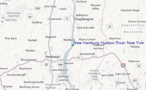
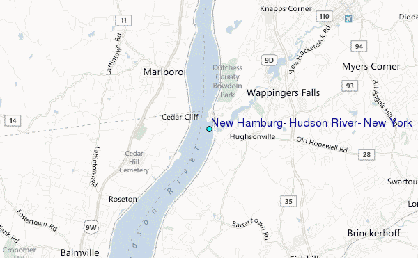
Choose New Hamburg, Hudson River, New York Location Map Zoom:
| Contours: | Roads & Rivers: | Select a
tide station / surf break / city |
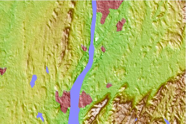
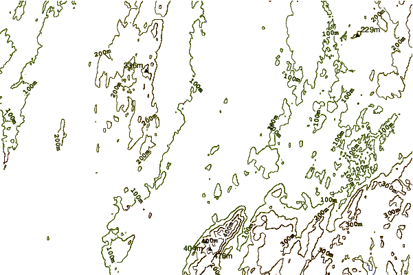
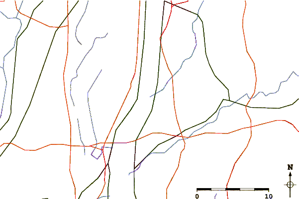
Use this relief map to navigate to tide stations, surf breaks and cities that are in the area of New Hamburg, Hudson River, New York.
Other Nearby Locations' tide tables and tide charts to New Hamburg, Hudson River, New York:
click location name for more details
 Surf breaks close to New Hamburg, Hudson River, New York:
|
||
|---|---|---|
| Closest surf break | Jones Beach | 70 mi |
| Second closest surf break | 92nd Street | 70 mi |
| Third closest surf break | Connecticut Street Jetty | 70 mi |
| Fourth closest surf break | Grand Blvd | 70 mi |
| Fifth closest surf break | Rockaway | 70 mi |


 Nearest
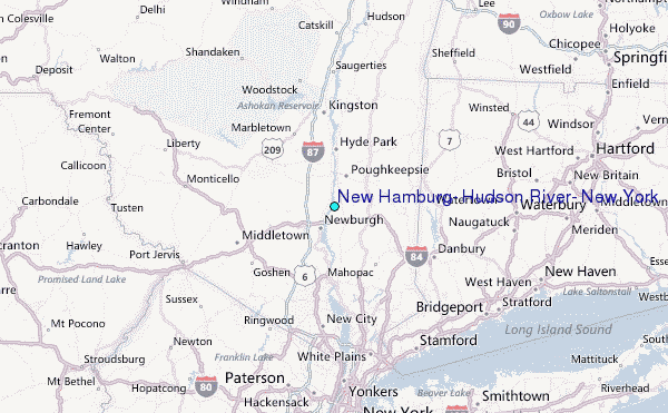