
| Distance / Altitude | Location | Report Date / Time | Live Weather | Wind | Gusts | Temp. | Visibility | Cloud |
|---|---|---|---|---|---|---|---|---|
| 1 km SSE / 1 m | Joppa wx (United States) | 2026-07-28 10:18 local (2026/07/28 14:18 GMT) | dry | calm (2 km/h at 205) | 24°C | - | - - 0 | |
| 2 km WNW / 4 m | Newburyport (Massachusetts) | 2026-07-28 10:36 local (2026/07/28 14:36 GMT) | dry | calm (5 km/h at 155) | 23°C | - | - - 0 | |
| 2 km SW / 7 m | Newburyport (Massachusetts) | 2026-07-28 10:19 local (2026/07/28 14:19 GMT) | dry | calm (0 km/h at 5) | 24°C | - | - - 0 | |
| 11 km SW / 38 m | West Newbury (Massachusetts) | 2026-07-28 10:37 local (2026/07/28 14:37 GMT) | dry | calm (0 km/h at 230) | 23°C | - | - - 0 | |
| 12 km S / 24.3 m | Ipswich (Massachusetts) | 2026-07-28 10:06 local (2026/07/28 14:06 GMT) | dry | calm (3 km/h at 60) | 25°C | - | - - 0 | |
| 12 km W / 63 m | Newton (New Hampshire) | 2026-07-28 10:25 local (2026/07/28 14:25 GMT) | dry | calm (0 km/h at 159) | 23°C | - | - - 0 | |
| 14 km SSW / 32 m | Groveland (Massachusetts) | 2026-07-28 10:36 local (2026/07/28 14:36 GMT) | dry | calm (0 km/h at 0) | 23°C | - | - - 0 | |
| 14 km S / 15 m | Ipswich wx (United States) | 2026-07-28 10:33 local (2026/07/28 14:33 GMT) | dry | calm (0 km/h at 42) | 25°C | - | - - 0 | |
| 17 km WSW / 57.3 m | Plaistow (New Hampshire) | 2026-07-28 10:44 local (2026/07/28 14:44 GMT) | dry | wind obs. (6 kph from 252 degs) was rejected (- km/h at -) | 24°C | - | - - 0 | |
| 17 km SW / 50 m | Bradford (Massachusetts) | 2026-07-28 09:43 local (2026/07/28 13:43 GMT) | dry | calm (3 km/h at 157) | 21°C | - | - - 0 |
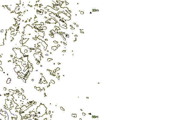
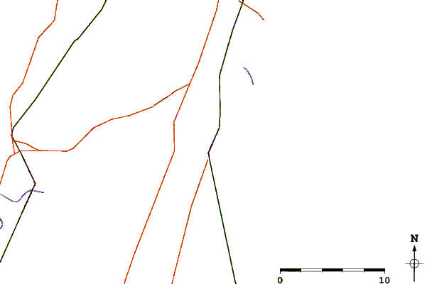
| Contours: | Roads & Rivers: | Select a
tide station / surf break / city |
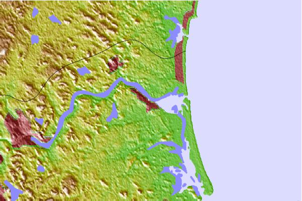
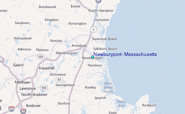
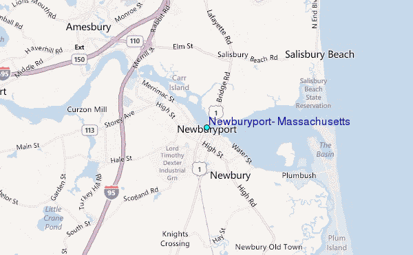
Use this relief map to navigate to tide stations, surf breaks and cities that are in the area of Newburyport, Massachusetts.
Other Nearby Locations' tide tables and tide charts to Newburyport, Massachusetts:
click location name for more details
 Surf breaks close to Newburyport, Massachusetts:
|
||
|---|---|---|
| Closest surf break | Salisbury Beach | 3 mi |
| Second closest surf break | Plum Island | 4 mi |
| Third closest surf break | Seabrook Beach | 6 mi |
| Fourth closest surf break | Hampton Beach | 7 mi |
| Fifth closest surf break | The Wall | 9 mi |


 Nearest
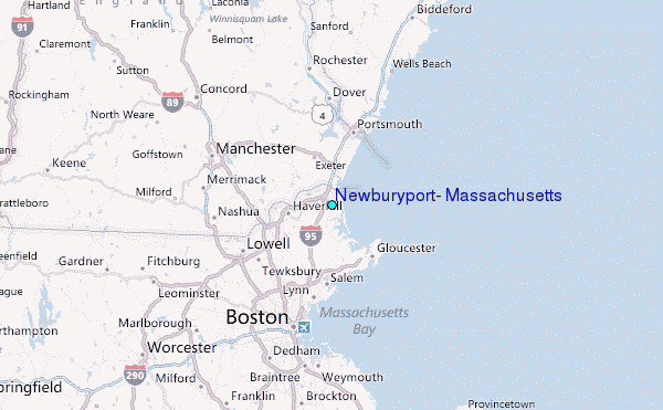