
| Distance / Altitude | Location | Report Date / Time | Live Weather | Wind | Gusts | Temp. | Visibility | Cloud |
|---|---|---|---|---|---|---|---|---|
| 7 km NNE / 218 m | Costa Mesa Airport (California) | 2025-12-25 19:53 local (2025/12/26 03:53 GMT) | Dry and partly cloudy | light winds from the SE (9 km/h at 130) | 17°C | 16 | few broken | |
| 13 km NE / 22.8 m | Irvine (California) | 2025-12-25 21:15 local (2025/12/26 05:15 GMT) | dry | calm (5 km/h at 144) | 10°C | - | - - 0 | |
| 23 km ENE / 309 m | Coeur d Alene (Idaho) | 2025-12-25 21:28 local (2025/12/26 05:28 GMT) | - | calm (0 km/h at 5) | — | - | - - 0 | |
| 23 km WNW / 213 m | Los Alamitos Army Airfield Airport (California) | 2025-12-25 19:55 local (2025/12/26 03:55 GMT) | Dry and cloudy | calm (0 km/h at 0) | 17°C | 14 | broken overcast | |
| 25 km SE / 3 m | BUOY-46285 (Marine) | 2025-12-25 20:56 local (2025/12/26 04:56 GMT) | - (- km/h at -) | — | - | |||
| 28 km WSW / 3 m | San Pedro South- CA (Marine) | 2025-12-25 21:26 local (2025/12/26 05:26 GMT) | - (- km/h at -) | — | - | |||
| 31 km W / 15 m | SHIP8107 (Marine) | 2025-12-25 20:00 local (2025/12/26 04:00 GMT) | - (- km/h at -) | — | - km | |||
| 31 km W / 15 m | SHIP4409 (Marine) | 2025-12-25 19:00 local (2025/12/26 03:00 GMT) | - (- km/h at -) | — | - km | |||
| 31 km W / 15 m | SHIP3003 (Marine) | 2025-12-25 19:00 local (2025/12/26 03:00 GMT) | - (- km/h at -) | — | - km | |||
| 31 km W / 15 m | SHIP6501 (Marine) | 2025-12-25 19:00 local (2025/12/26 03:00 GMT) | - (- km/h at -) | — | - km |
| Contours: | Roads & Rivers: | Select a
tide station / surf break / city |
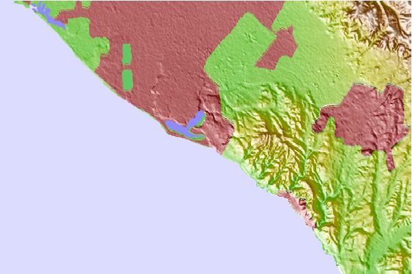
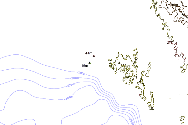
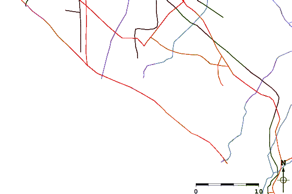
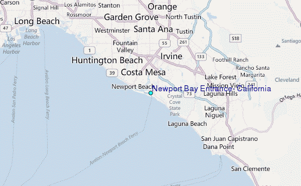
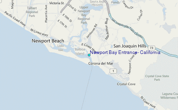
Use this relief map to navigate to tide stations, surf breaks and cities that are in the area of Newport Bay Entrance, California.
Other Nearby Locations' tide tables and tide charts to Newport Bay Entrance, California:
click location name for more details
 Surf breaks close to Newport Bay Entrance, California:
|
||
|---|---|---|
| Closest surf break | The Wedge | 1 mi |
| Second closest surf break | Corona Del Mar Jetty | 1 mi |
| Third closest surf break | Middles | 2 mi |
| Fourth closest surf break | Newport 15th Street | 2 mi |
| Fifth closest surf break | Newport Point | 2 mi |


 Nearest
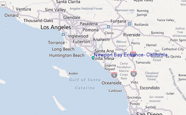