
| Distance / Altitude | Location | Report Date / Time | Live Weather | Wind | Gusts | Temp. | Visibility | Cloud |
|---|---|---|---|---|---|---|---|---|
| 9 km NE / 3 m | BUOY-NLHC3 (Marine) | 2026-04-17 20:30 local (2026/04/18 00:30 GMT) | - (- km/h at -) | 15°C | - | |||
| 27 km W / 219 m | Chester Airport (CT) (United States) | 2026-04-17 20:35 local (2026/04/18 00:35 GMT) | Dry and partly cloudy | calm (0 km/h at 0) | 17°C | 16 | broken | |
| 32 km E / 218 m | Westerly Airport (Rhode Island) | 2026-04-17 19:53 local (2026/04/17 23:53 GMT) | Dry and cloudy | light winds from the E (7 km/h at 80) | 13°C | 16 | overcast | |
| 36 km SSE / 3 m | BUOY-MTKN6 (Marine) | 2026-04-17 20:30 local (2026/04/18 00:30 GMT) | - (- km/h at -) | 12°C | - | |||
| 37 km SE / 202 m | Montauk Airport (New York) | 2026-04-17 19:54 local (2026/04/17 23:54 GMT) | - | light winds from the E (13 km/h at 80) | 11°C | 0.0 | ||
| 47 km N / 218 m | Willimantic Airport (Connecticut) | 2026-04-17 19:52 local (2026/04/17 23:52 GMT) | Dry and cloudy | light winds from the E (9 km/h at 80) | 17°C | 16 | overcast | |
| 55 km ESE / 211 m | Block Island Airport (Rhode Island) | 2026-04-17 19:56 local (2026/04/17 23:56 GMT) | Dry and cloudy | light winds from the ENE (15 km/h at 60) | 9°C | 16 | overcast | |
| 57 km ENE / 24 m | East Falmourh (Massachusetts) | 2026-04-17 20:37 local (2026/04/18 00:37 GMT) | dry | calm (0 km/h at 328) | 10°C | - | - - 0 | |
| 57 km WSW / 218 m | New Haven/Tweed Airport (Connecticut) | 2026-04-17 19:53 local (2026/04/17 23:53 GMT) | Dry and cloudy | light winds from the E (19 km/h at 100) | 13°C | 13 | scattered scattered overcast | |
| 58 km W / 218 m | Meriden Airport (Connecticut) | 2026-04-17 19:53 local (2026/04/17 23:53 GMT) | Dry and cloudy | light winds from the E (11 km/h at 100) | 19°C | 16 | few overcast |
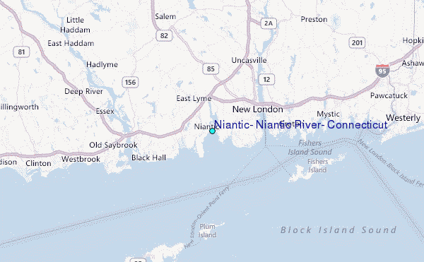
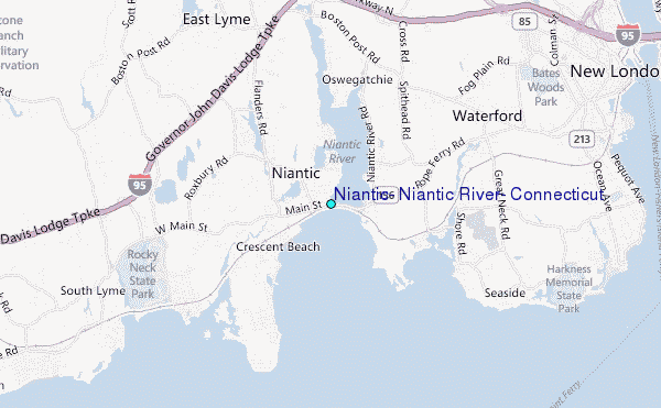
Choose Niantic, Niantic River, Connecticut Location Map Zoom:
| Contours: | Roads & Rivers: | Select a
tide station / surf break / city |
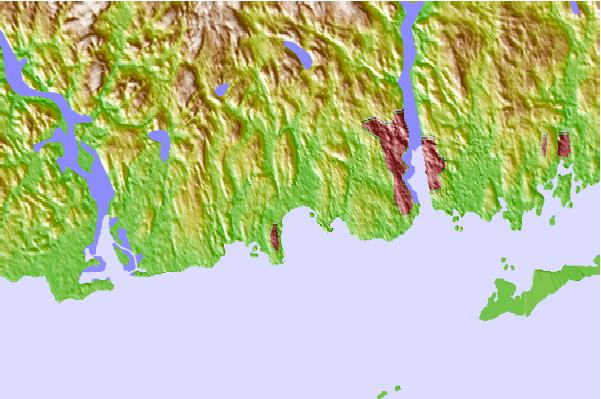
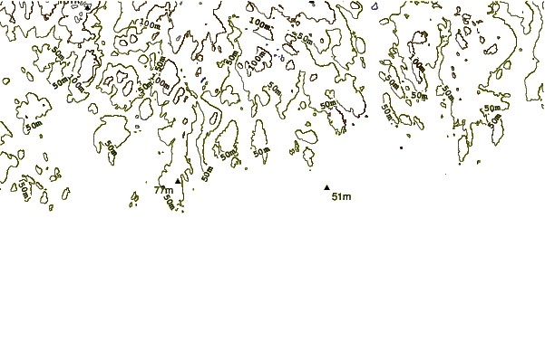
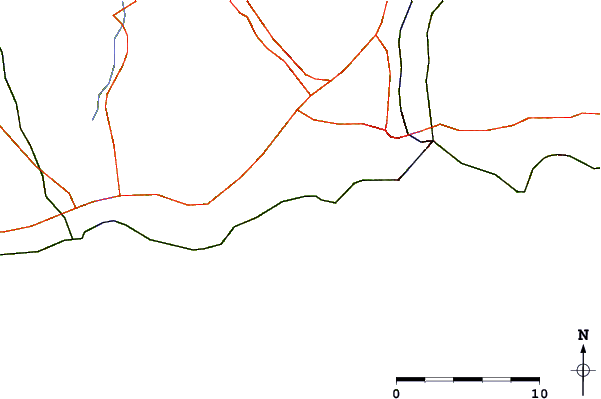
Use this relief map to navigate to tide stations, surf breaks and cities that are in the area of Niantic, Niantic River, Connecticut.
Other Nearby Locations' tide tables and tide charts to Niantic, Niantic River, Connecticut:
click location name for more details
 Surf breaks close to Niantic, Niantic River, Connecticut:
|
||
|---|---|---|
| Closest surf break | Breachway | 16 mi |
| Second closest surf break | Napatree Jetty | 17 mi |
| Third closest surf break | East Beach Lighthouse | 17 mi |
| Fourth closest surf break | Misquamicut State Beach | 21 mi |
| Fifth closest surf break | Fenway Beach | 22 mi |


 Nearest
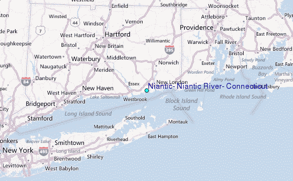