
| Distance / Altitude | Location | Report Date / Time | Live Weather | Wind | Gusts | Temp. | Visibility | Cloud |
|---|---|---|---|---|---|---|---|---|
| 50 km SE / 30 m | Ban Ba Nae Ku We wx (Thailand) | 2024-04-26 18:16 local (2024/04/26 11:16 GMT) | - | calm (0 km/h at 0) | 33°C | - | - - 0 | |
| 70 km W / 36 m | Ban Laem Khian wx (Thailand) | 2024-04-26 19:22 local (2024/04/26 12:22 GMT) | - | calm (0 km/h at 0) | 34°C | - | - - 0 | |
| 72 km ESE / 217 m | Narathiwat Airport (Thailand) | 2024-04-26 18:00 local (2024/04/26 11:00 GMT) | - | light winds from the ENE.(Wind varies from 040 to 100 degs) (9 km/h at 70) | 31°C | 10.0 | few | |
| 76 km W / 120 m | Songkhla(thai-navy) (Thailand) | 2024-04-26 19:00 local (2024/04/26 12:00 GMT) | no report | light winds from the NE (11 km/h at 40) | 33°C | 10 | - mostly cloudy - | |
| 78 km W / 10 m | Kho Hong Agromet (Thailand) | 2024-04-26 19:00 local (2024/04/26 12:00 GMT) | clouds dissolving | wind obs. (6 kph from 220 degs) was rejected (- km/h at -) | 32°C | 10 | - mostly cloudy - |
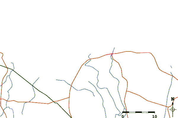
| Contours: | Roads & Rivers: | Select a
tide station / surf break / city |
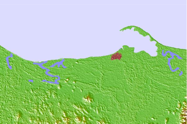
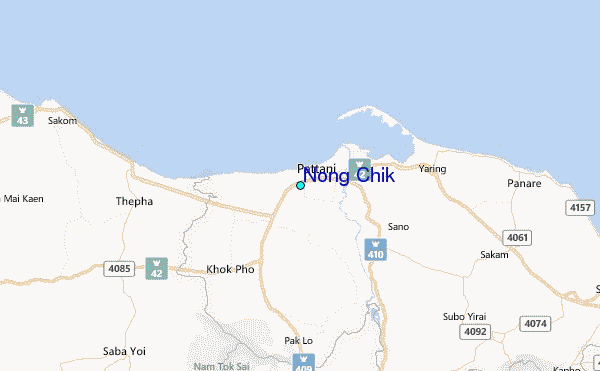
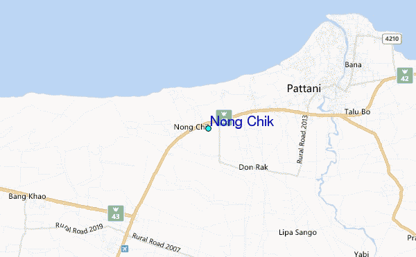
Use this relief map to navigate to tide stations, surf breaks and cities that are in the area of Nong Chik.
Other Nearby Locations' tide tables and tide charts to Nong Chik:
click location name for more details
 Surf breaks close to Nong Chik:
|
||
|---|---|---|
| Closest surf break | Songkhla - Fulerayem Point | 48 mi |
| Second closest surf break | Cenang Beach (The Cliff) | 108 mi |
| Third closest surf break | Tengah Beach (Bank Negara) | 108 mi |
| Fourth closest surf break | Koh Lanta - Khlong Dao | 158 mi |
| Fifth closest surf break | Batu Buruk | 171 mi |

 Nearest
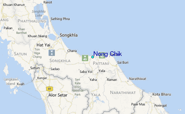