
| Distance / Altitude | Location | Report Date / Time | Live Weather | Wind | Gusts | Temp. | Visibility | Cloud |
|---|---|---|---|---|---|---|---|---|
| 31 km SSW / 15 m | SHIP1915 (Marine) | 2026-07-04 04:00 local (2026/07/04 12:00 GMT) | - (- km/h at -) | — | - km | |||
| 89 km ENE / 3 m | BUOY-ULRA2 (Marine) | 2026-07-04 05:48 local (2026/07/04 13:48 GMT) | - (- km/h at -) | — | - | |||
| 89 km ENE / 201 m | Unalakleet Airport (Alaska) | 2026-07-04 05:29 local (2026/07/04 13:29 GMT) | Dry and cloudy | light winds from the ESE (6 km/h at 120) | 10°C | 16 | few overcast | |
| 104 km NE / 7 m | Shaktoolik Airport (Alaska) | 2026-07-04 04:56 local (2026/07/04 12:56 GMT) | - | moderate winds from the NE (20 km/h at 40) | 11°C | 16 | few | |
| 107 km NW / 217 m | Golovin Airport (Alaska) | 2026-07-04 04:56 local (2026/07/04 12:56 GMT) | Clear | light winds from the NNW (13 km/h at 330) | 8°C | 16 | ||
| 31 km SSW / 15 m | SHIP6938 (Marine) | 2026-07-04 04:00 local (2026/07/04 12:00 GMT) | - (- km/h at -) | — | - km | |||
| 31 km SSW / 3 m | SHIP6604 (Marine) | 2026-07-04 04:00 local (2026/07/04 12:00 GMT) | - (- km/h at -) | — | - | |||
| 42 km SSW / 15 m | SHIP1473 (Marine) | 2026-07-04 05:00 local (2026/07/04 13:00 GMT) | - (- km/h at -) | — | - km | |||
| 42 km SSW / 15 m | SHIP979 (Marine) | 2026-07-04 05:00 local (2026/07/04 13:00 GMT) | - (- km/h at -) | — | - km | |||
| 42 km SSW / 3 m | SHIP7459 (Marine) | 2026-07-04 05:00 local (2026/07/04 13:00 GMT) | - (- km/h at -) | — | - |
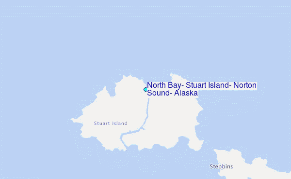
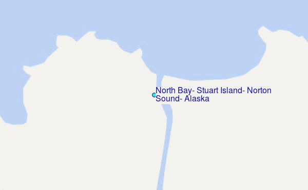
Choose North Bay, Stuart Island, Norton Sound, Alaska Location Map Zoom:
| Contours: | Roads & Rivers: | Select a
tide station / surf break / city |
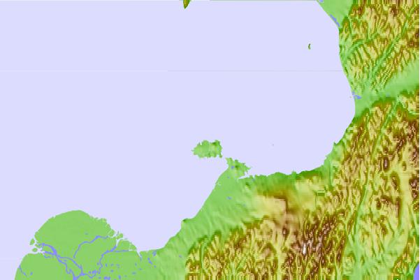
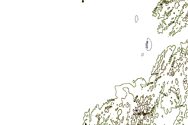
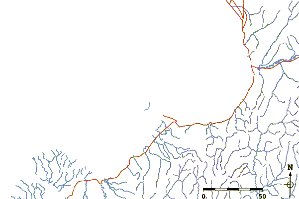
Use this relief map to navigate to tide stations, surf breaks and cities that are in the area of North Bay, Stuart Island, Norton Sound, Alaska.
Other Nearby Locations' tide tables and tide charts to North Bay, Stuart Island, Norton Sound, Alaska:
click location name for more details
 Surf breaks close to North Bay, Stuart Island, Norton Sound, Alaska:
|
||
|---|---|---|
| Closest surf break | Bird Point (Tidal Bore) | 410 mi |
| Second closest surf break | Termination Point | 523 mi |
| Third closest surf break | Monashka Bay | 524 mi |
| Fourth closest surf break | Mill Bay | 526 mi |
| Fifth closest surf break | Fossil Beach Kodiak | 548 mi |


 Nearest
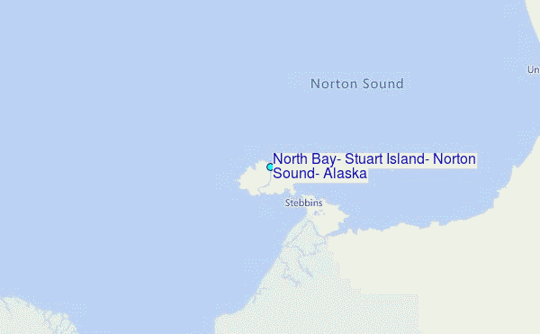