
| Distance / Altitude | Location | Report Date / Time | Live Weather | Wind | Gusts | Temp. | Visibility | Cloud |
|---|---|---|---|---|---|---|---|---|
| 17 km WSW / 219 m | Newcastle Airport (United Kingdom) | 2026-03-24 00:20 local (2026/03/24 00:20 GMT) | - | moderate winds from the SW.(Wind varies from 190 to 250 degs) (28 km/h at 220) | 9°C | 10.0 | few | |
| 19 km N / 3 m | Newbiggin Waverider (Marine) | 2026-03-24 00:32 local (2026/03/24 00:32 GMT) | - (- km/h at -) | — | - | |||
| 27 km WSW / 238 m | Albemarle (United Kingdom) | 2026-03-24 01:00 local (2026/03/24 01:00 GMT) | Rain and snow or hail | light winds from the SSW (9 km/h at 210) | 9°C | 47 km | overcast | |
| 45 km ESE / 3 m | Tyne-Tees WaveNet Site (Marine) | 2026-03-24 01:00 local (2026/03/24 01:00 GMT) | - (- km/h at -) | — | - | |||
| 45 km NW / 238 m | Boulmer (United Kingdom) | 2026-03-24 01:00 local (2026/03/24 01:00 GMT) | - | fresh winds from the SSW (30 km/h at 200) | 10°C | 30 | - overcast - | |
| 46 km NW / 23 m | Boulmer Airport (United Kingdom) | 2026-03-24 01:00 local (2026/03/24 01:00 GMT) | - | wind obs. (13 kph from 100 degs) was rejected (- km/h at -) | — | 30 | - - - | |
| 56 km S / 170 m | Tees-side Airport (United Kingdom) | 2026-03-24 00:20 local (2026/03/24 00:20 GMT) | - | light winds from the SSW (13 km/h at 200) | 9°C | 10.0 | ||
| 62 km W / 211 m | RedesdaleCamp (United Kingdom) | 2026-03-24 01:00 local (2026/03/24 01:00 GMT) | Continuous moderate drizzle | moderate winds from the SSW (24 km/h at 210) | 9°C | 2.9 km | - overcast - | |
| 63 km SE / 239 m | Loftus (United Kingdom) | 2026-03-24 01:00 local (2026/03/24 01:00 GMT) | Rain and snow or hail | fresh winds from the SSW (31 km/h at 210) | 8°C | 35 km | - scattered - | |
| 70 km WSW / 214 m | Spadeadam Airport (United Kingdom) | 2026-03-24 00:20 local (2026/03/24 00:20 GMT) | Heavy rain | fresh winds from the WSW (30 km/h at 240) | 7°C | 3.9 | overcast |
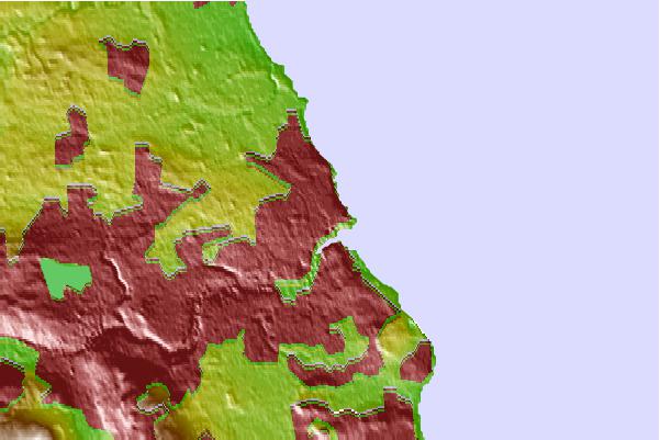
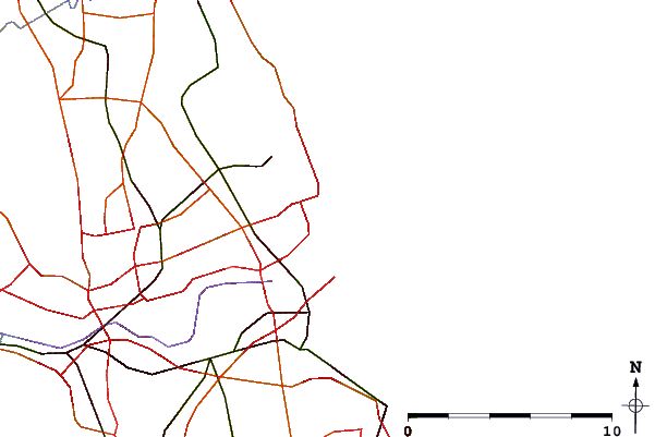
| Contours: | Roads & Rivers: | Select a
tide station / surf break / city |
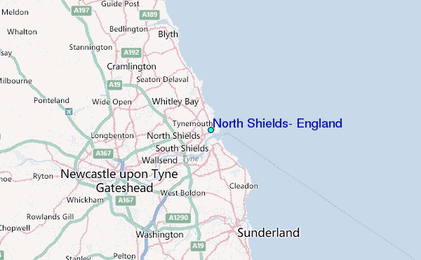
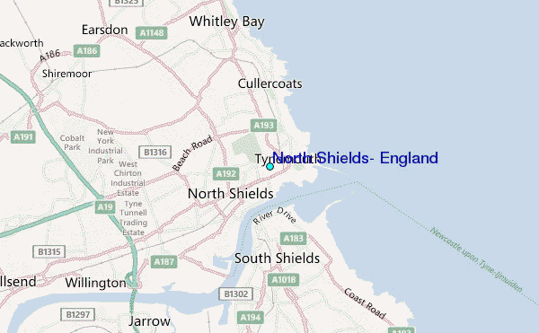
Use this relief map to navigate to tide stations, surf breaks and cities that are in the area of North Shields, England.
Other Nearby Locations' tide tables and tide charts to North Shields, England:
click location name for more details
 Surf breaks close to North Shields, England:
|
||
|---|---|---|
| Closest surf break | Black Middens | 1 mi |
| Second closest surf break | King Edwards Bay | 1 mi |
| Third closest surf break | Longsands Bay | 1 mi |
| Fourth closest surf break | Tynemouth Longsands | 1 mi |
| Fifth closest surf break | South Shields | 1 mi |


 Nearest
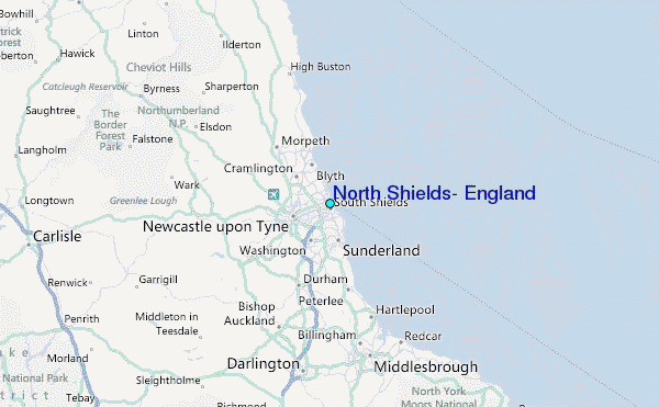