
| Distance / Altitude | Location | Report Date / Time | Live Weather | Wind | Gusts | Temp. | Visibility | Cloud |
|---|---|---|---|---|---|---|---|---|
| 7 km NE / 0 m | thunderstorm affecting Long Neck (United States) | 2026-04-01 21:49 local (2026/04/02 01:49 GMT) | Thunderstorm | (- km/h at -) | — | |||
| 11 km WNW / 10 m | lightning 10km N of Millsboro (United States) | 2026-04-01 21:47 local (2026/04/02 01:47 GMT) | Thunderstorm | (- km/h at -) | — | |||
| 12 km WNW / 10 m | lightning 11km ENE of Georgetown (United States) | 2026-04-01 21:47 local (2026/04/02 01:47 GMT) | Thunderstorm | (- km/h at -) | — | |||
| 12 km N / 5 m | lightning 10km SSW of Lewes (United States) | 2026-04-01 21:50 local (2026/04/02 01:50 GMT) | Thunderstorm | (- km/h at -) | — | |||
| 13 km ESE / 3 m | BUOY-44084 (Marine) | 2026-04-01 20:56 local (2026/04/02 00:56 GMT) | - (- km/h at -) | — | - | |||
| 13 km N / 5 m | lightning 6km WSW of Rehoboth Beach (United States) | 2026-04-01 21:49 local (2026/04/02 01:49 GMT) | Thunderstorm | (- km/h at -) | — | |||
| 14 km NW / 10 m | lightning 10km SE of Milton (United States) | 2026-04-01 21:47 local (2026/04/02 01:47 GMT) | Thunderstorm | (- km/h at -) | — | |||
| 18 km N / 6 m | Lewes (Delaware) | 2026-04-01 21:49 local (2026/04/02 01:49 GMT) | dry | calm (0 km/h at 58) | 6°C | - | - - 0 | |
| 19 km W / 208 m | Georgetown Airport (Delaware) | 2026-04-01 19:54 local (2026/04/01 23:54 GMT) | - | light winds from the S (13 km/h at 170) | 24°C | 16 | few | |
| 21 km NNE / 3 m | BUOY-LWSD1 (Marine) | 2026-04-01 21:00 local (2026/04/02 01:00 GMT) | light winds from the S (8 km/h at 190) | 23°C | - |
| Contours: | Roads & Rivers: | Select a
tide station / surf break / city |
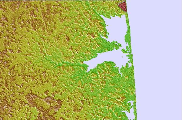

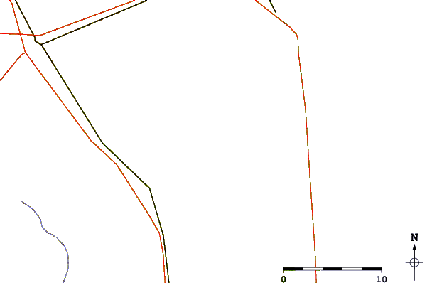
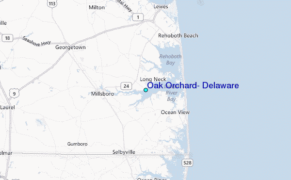
Use this relief map to navigate to tide stations, surf breaks and cities that are in the area of Oak Orchard, Delaware.
Other Nearby Locations' tide tables and tide charts to Oak Orchard, Delaware:
click location name for more details
 Surf breaks close to Oak Orchard, Delaware:
|
||
|---|---|---|
| Closest surf break | Indian River (Northside) | 6 mi |
| Second closest surf break | Indian River (Southside) | 6 mi |
| Third closest surf break | Bethany | 8 mi |
| Fourth closest surf break | Tower Road | 8 mi |
| Fifth closest surf break | Dewey Beach | 9 mi |


 Nearest
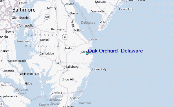